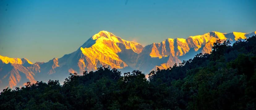
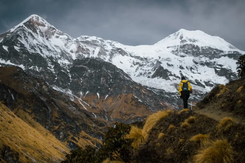
Best Treks in Uttarakhand
Compare 54 Himalayan treks in Uttarakhand. Real altitude profiles, operator pricing, and expert guidance.
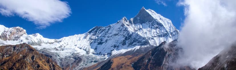
Highest Point
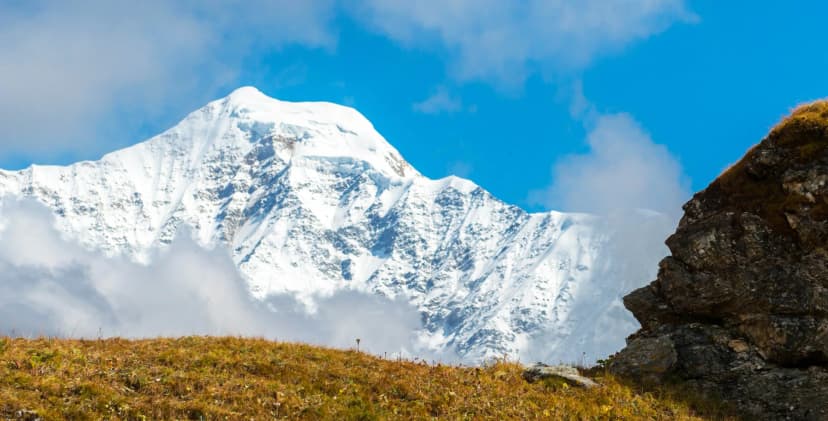
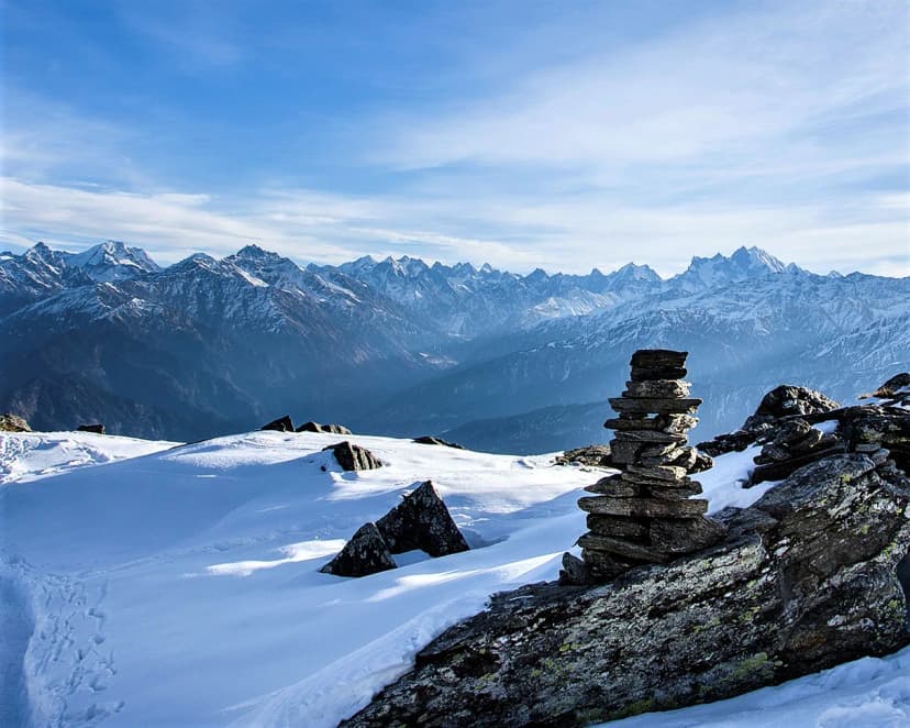
Dharansi Pass Trek
16,800 ft
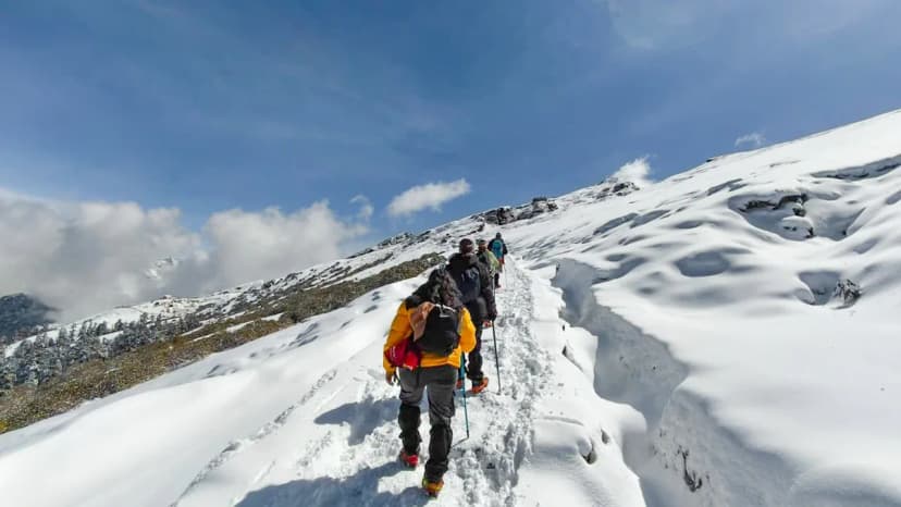
Longest Path
Nanda Devi East Base Camp Trek
10 Days
Quickest Peak
Nag Tibba Trek
2 Days
Starting From
Best Value Ops
₹3000.00
Available Routes
54 routes found
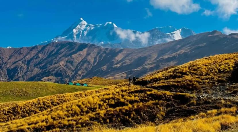
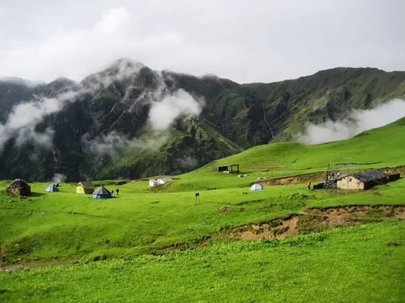
Nanda Devi East Base Camp Trek
Himalayan Adventure
Price TBD
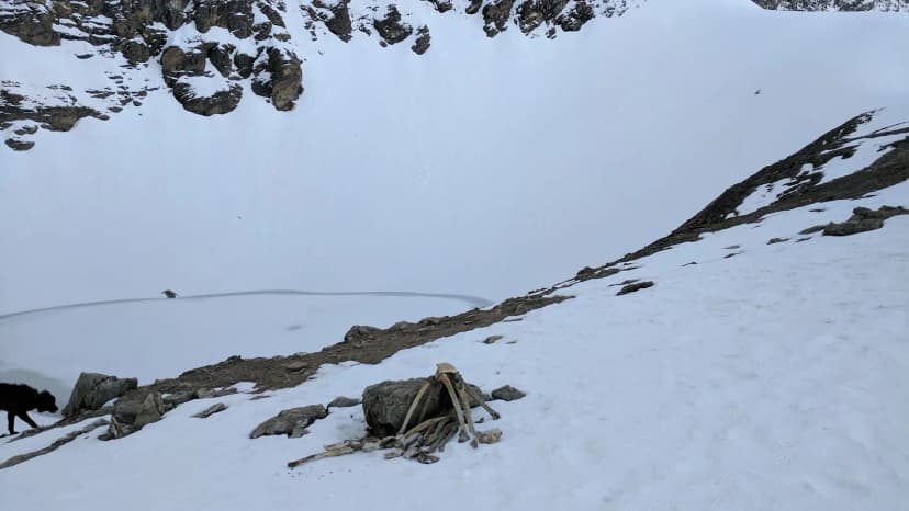
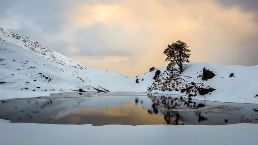
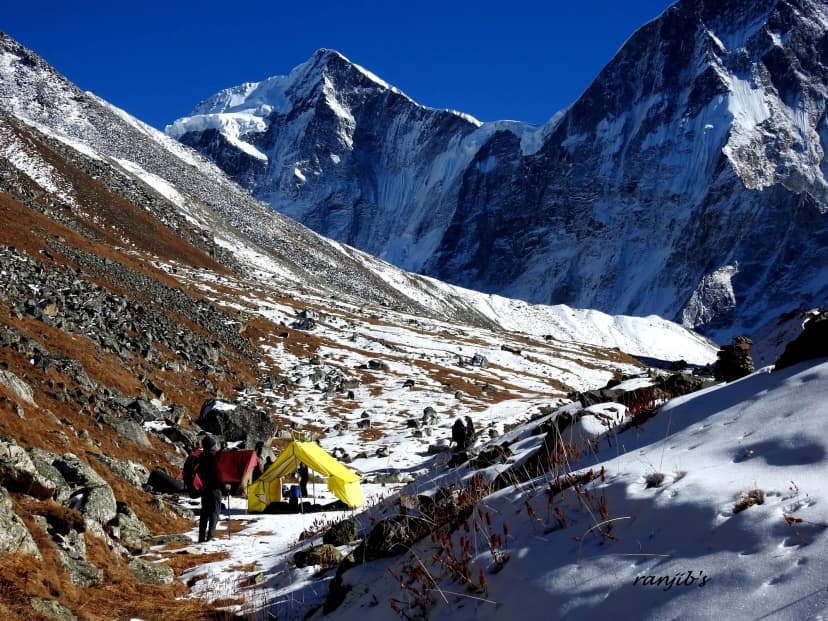
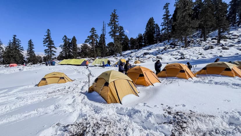
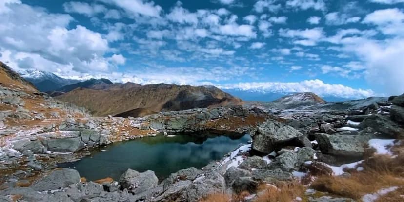
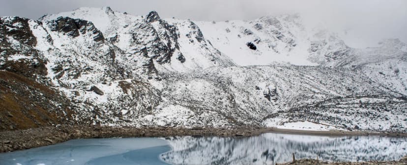
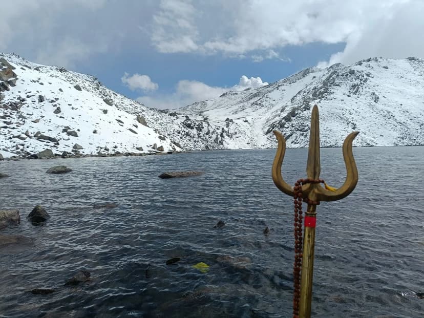
Brahmatal Trek
Frozen Lake · Trishul & Nanda Ghunti Views
₹7,500/pp
Dodital & Darwa Pass Trek
Himalayan Adventure
Price TBD
Dodital to Hanuman Chatti Trek via Darwa Pass
Himalayan Adventure
Price TBD
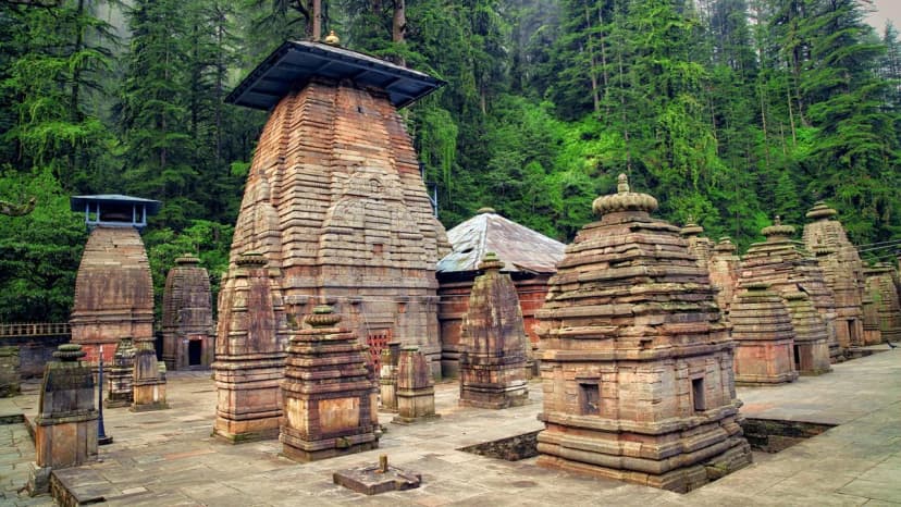
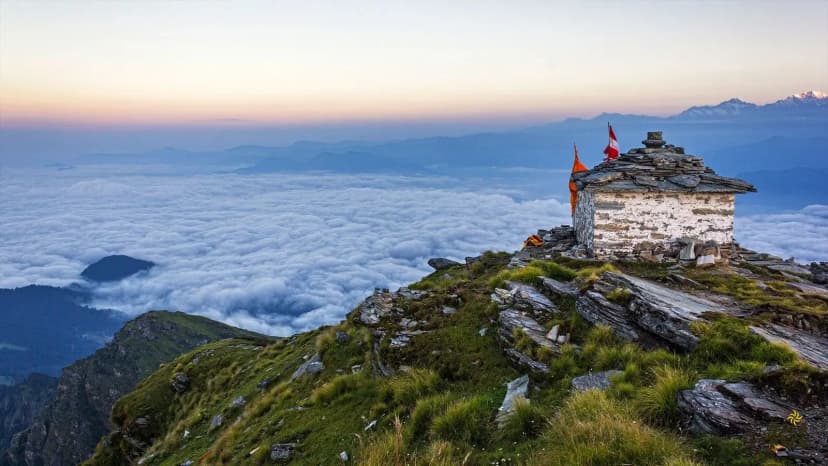
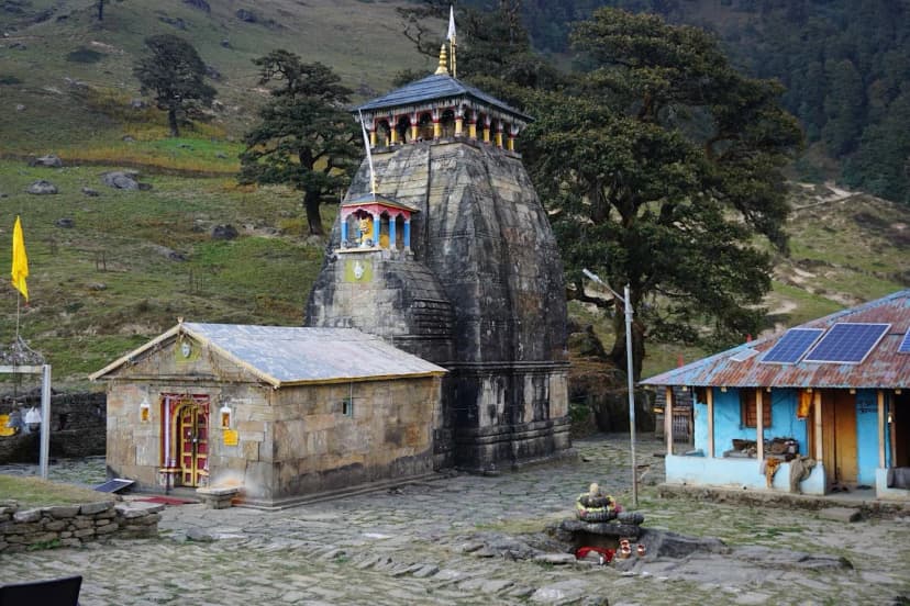
Jageshwar Temple Heritage Trek
Himalayan Adventure
Price TBD
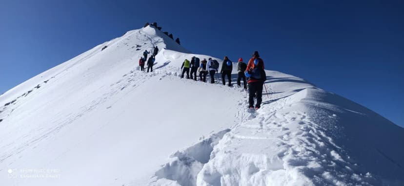
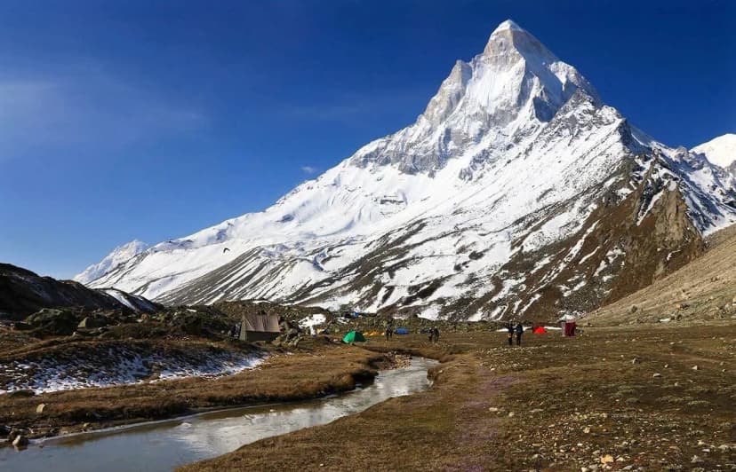
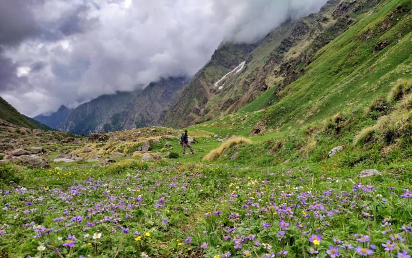
Kedarkantha Trek
Queen of Winter Treks · 12,500 ft
₹7,000/pp
Mukteshwar Binsar Connect Trek
Himalayan Adventure
Price TBD
Pindari Kafni Sunderdhunga Grand Circuit Trek
Himalayan Adventure
Price TBD
Rupin-Supin River Trail Trek
Himalayan Adventure
Price TBD
Sundardhunga Glacier Trek
Himalayan Adventure
Price TBD
Why book these routes via MountRoutes?
We don't just list treks; we audit the operators who run them. When you compare Uttarakhand treks on our platform, you aren't looking at marketing copy. You are looking at verified safety equipment lists, transparent porter-to-client ratios, and math-based fitness verdicts.
Knowledge Integrity
Help us keep this data ground-truth accurate.
This encyclopedia entry for Best Treks in Uttarakhand Directory is curated from a mix of public survey records, first-hand climber accounts, and official permit logs. However, mountains are dynamic. If you have been on this route recently and noticed a change in terrain, water availability, or local regulations, we want to hear from you.
Community Vetted
Last Verified: May 2026
TREK DATABASE