Detailed Route
Lamkhaga Pass Expedition Itinerary — Day by Day Route & Camps
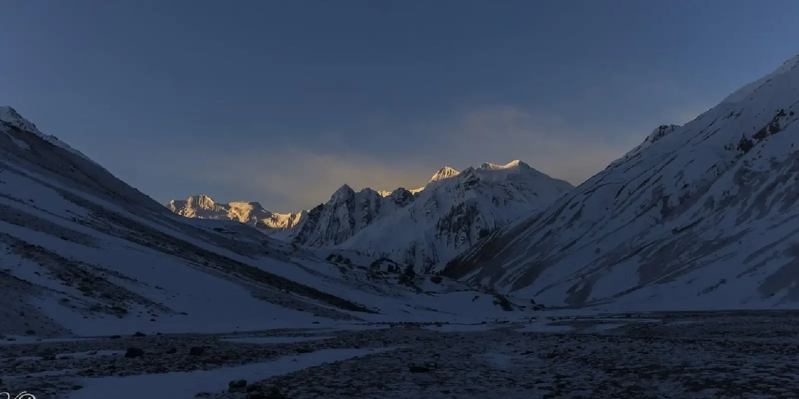
A spectacular but deadly transition from the Garhwal Himalayas into the Kinnaur valley.
Standard RouteThis is the standard mountain pacing for this trek. Specific operators may add an acclimatization day or alter the starting point. Check individual operator schedules for their exact logistics.
Duration
10 Days
Total Distance
78 KM
Max Altitude
17,329 FT
Trek Type
linear
Permits Required Before You Go
Permit Cost
Where to Get
Uttarkashi (UK) and Reckong Peo (HP)
Documents
Passport/Aadhar, Medical Fitness Certificate, Passport size photos, Police Verification (sometimes)
Foreign Nationals
Foreigners need a special permit from the Ministry of Home Affairs or District Magistrate. Must travel in groups of at least 4.
Day by Day Breakdown
Drive Dehradun to Harsil
A long drive into the Garhwal Himalayas along the Bhagirathi river. Harsil serves as the final roadhead and permits checkpost.
Key Landmarks
Staying At
Trek Harsil to Kyarkoti
Gradual climb through dense pine and cedar forests along the Jadh Ganga river. The tree line begins to thin out.
Key Landmarks
Staying At
Trek Kyarkoti to Lamkhaga Base Camp 1
Leaving the tree line completely behind, entering the terminal moraine zone. The landscape turns barren and rocky.
Key Landmarks
Staying At
Trek Base 1 to Advance Base Camp (ABC)
Tough walking over boulders and ice streams. First clear views of the Jalandhari glacier and the surrounding peaks.
Key Landmarks
Staying At
Acclimatization and Skills Training at ABC
Essential rest day. Practice using microspikes/crampons, ice axe techniques, and roping up on the lower glacier.
Key Landmarks
Staying At
Buffer Day / Weather Contingency
An essential buffer day reserved for bad weather, high winds at the pass, or further acclimatization before pushing to High Camp.
Staying At
Trek ABC to High Camp
Entering the world of perma-frost. Camp is pitched on a cold, glacial platform right at the foot of the pass.
Key Landmarks
Staying At
Pass Day: High Camp to Rani Kanda via Lamkhaga Pass
The monumental push. Start at 2:00 AM. Brutal 60-degree ice climb to the pass and a dangerous, steep scree descent into Himachal.
Key Landmarks
Staying At
Descent Rani Kanda to Chitkul
A relatively relaxed walk into the beautiful Baspa valley, arriving at the first Indian village of Chitkul for a hot meal.
Key Landmarks
Staying At
Drive Chitkul to Shimla
Long 10-hour drive back through the Kinnaur valley towards Shimla, marking the end of the expedition.
Key Landmarks
Staying At
Trek Extensions & Add-ons
Also on this trek
Ready to book? Compare verified operators for Lamkhaga Pass Expedition — transparent pricing, no paid rankings.
Still deciding?
Compare routes side-by-side to find the perfect match for your fitness, dates, and budget.
Day by day, camp by camp. Send this to your group so everyone's on the same page.
Love this itinerary?
Find operators who follow this exact route with verified acclimatization days.
Find matching operators