Difficulty & Readiness Guide
Is Panchachuli Base Camp Trek Difficult? — Fitness & Altitude Guide
Moderate. Features a gradual ascent through stunning Kumaoni villages.
Preparation Required
Intermediate
Prior Experience
Recommended: 1-2 easy Himalayan treks or regular hiking experience.
Score Engine v3
Why This Score?
Stamina
20/100
Based on average nightly altitude gain, highest campsite, and daily distance. Reflects how hard the average day feels.
Spike Day
34/100
Based on max altitude reached, summit day elevation gain, and summit day distance. Reflects the hardest single day.
Why Panchachuli Base Camp Trek Feels Difficult
A capable trekker's route that balances joint & muscle impact and cardio demand.
Physiological Demand
Steep, punishing ascents and descents that will heavily tax your knees, ankles, and overall joint stability.
Expect long, exhausting days of sustained climbing at high intensity. Your cardiovascular system will be pushed to its absolute limit.
Significant time spent above 12,000ft. Expect shortness of breath and slower pacing.
Rough, uneven trails with occasional scrambling or minor exposure.
Multi-day camping requiring mental toughness to handle weather and fatigue debt.
Crux Section
Day 4 — Oxygen Peak
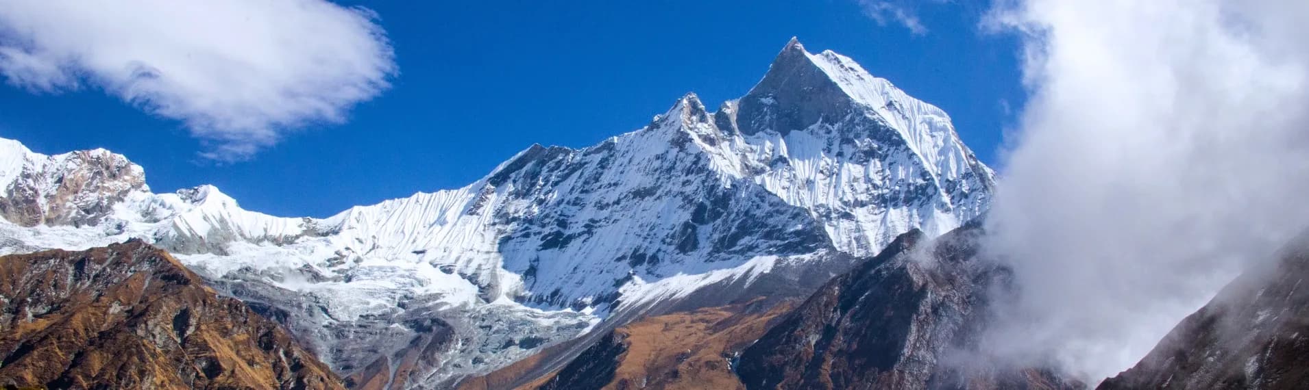
Highest exposure point at 13,975ft.
Panchachuli Base Camp Trek/ 38
Road Thrill
Caution
The drive from Dharchula to Urthing is more dangerous than the entire trek. Mentally prepare to be driving on literal cliff edges.
Terrain Breakdown
The actual trekking trail is highly manageable—mostly gentle dirt paths through villages. The difficulty historically came from the distance, which the new roads have effectively neutralized.
Summit Day Notes
The push from Duktu to Base Camp is a straight 3,000 ft altitude gain over moraine. It demands slow pacing to avoid breathlessness.
The Descent
Extremely straightforward return hike. No severe knee-breaking granite steps.
Preparation
Perfect for beginners who want high-altitude glacier views but lack the muscular endurance for 10-day treks like Sundardhunga.
Altitude Profile
Jumps quickly due to the jeep rides. You ascend from 3,000 ft (Dharchula) to 11,000 ft (Duktu) in 48 hours. Hydration is absolutely crucial to stave off AMS.
Run AMS Risk Audit →Route Stress Forecast
Highest exposure point at 13,975ft.
Deep 2,975ft descent will test joint stability.
First major altitude jump occurs on Day 4.
*Forecast derived from route geometry and altitude profile. External variables (weather/group) remain the final authority.
Trail Performance Data
Max Gradient
25%
Hydration
0.3L per km recommended
Loose Surface Sections
- •The moraine approach to Zero Point
Common Mistakes on Panchachuli Base Camp Trek
Most injuries and failures on this trail can be avoided by making smarter decisions early on.
Focusing only on the hike and underestimating the physical toll of the 11-hour drives to and from Dharchula.
Safety & Medical Risks
Key Risks
Landslides on the jeep road from Dharchula
High-altitude wind chill at Duktu causing hypothermia
AMS
AMS (Altitude Sickness)
Moderate-to-High due to the rapid motorized ascent from 3,000 to 11,000 ft before trekking begins. Take Diamox proactively if recommended.
Evacuation Route
Relatively fast. Local vehicles can usually reach Baaling/Urthing, meaning you only need to be carried down from Duktu.
Solo Trekking
Possible if you manage the ILP paperwork yourself, as homestays function smoothly in Duktu/Dantu.
Common Trail Ailments
🏥 Nearest ICU: Ujala Cygnus Central Hospital, Haldwani / B.D. Pandey District Hospital, Pithoragarh
Tactical Emergency Hub
> Jeeps can now access very close to the villages, greatly accelerating evacuation speed compared to a decade ago.
Who Can Do This Trek?
Min Age
12+
Max Age
60
Western Toilets at Base
Yes
Solo Female Travelers
Very safe due to hospitable Bhotia culture, provided you stick to established homestays.
Expert Verdict
Highly technical trek requiring physical and mental preparation.
Ready to book? Compare verified operators for Panchachuli Base Camp Trek — transparent pricing, no paid rankings.
Want to know which operators carry certified guides and medical support? See operator safety ratings for Panchachuli Base Camp Trek
Also on this trek
Still deciding?
Compare routes side-by-side to find the perfect match for your fitness, dates, and budget.
Still think it's doable? Share this with your trek mate and see if they agree.
Fit for the challenge?
For challenging treks, safety is paramount. Find operators prioritizing medical support and guide expertise.
Compare operator safety scores