Difficulty & Readiness Guide
Is Nandikund Trek Difficult? — Fitness & Altitude Guide
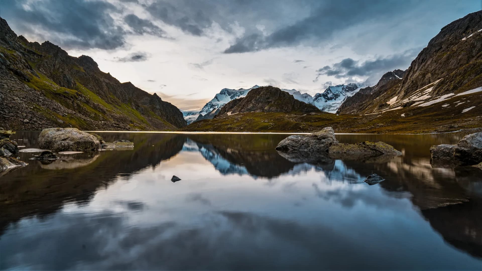
A moderate high-altitude Himalayan trek reaching a maximum altitude of 14,268 ft. It involves steady, steep ridge climbs and daily hiking durations of 5 to 7 hours. Recommended for fit beginners and experienced hikers looking for excellent Himalayan peak panoramas.
Preparation Required
Advanced
Prior Experience
Required: At least 2-3 moderate Himalayan treks (above 13,000ft).
Score Engine v3
Why This Score?
Stamina
68/100
Based on average nightly altitude gain, highest campsite, and daily distance. Reflects how hard the average day feels.
Spike Day
48/100
Based on max altitude reached, summit day elevation gain, and summit day distance. Reflects the hardest single day.
Why Nandikund Trek Feels Difficult
A demanding expedition with extreme joint & muscle impact, cardio demand, and altitude exposure. This route will push every dimension of your physical and mental endurance to the limit.
Physiological Demand
Steep, punishing ascents and descents that will heavily tax your knees, ankles, and overall joint stability.
Expect long, exhausting days of sustained climbing at high intensity. Your cardiovascular system will be pushed to its absolute limit.
Extreme high altitude exposure. Severe oxygen depletion requires careful acclimatization and peak cardiovascular health.
Deep wilderness isolation and cumulative fatigue. The mental challenge of enduring days on end in harsh conditions is extreme.
Rough, uneven trails with occasional scrambling or minor exposure.
Crux Section
Day 6 — Oxygen Peak
Highest exposure point at 17,300ft.
Nandikund Trek/ 69
Physical Challenge
Caution
The boulder field on Day 3 is relentless. Each boulder is head-height or larger. Progress feels slow despite fitness. Budget extra time and carry trekking poles with carbide tips.
Terrain Breakdown
Mixed forest and boulder terrain. Upper section involves snowfield crossing. No technical climbing but requires strong fitness.
Summit Day Notes
High altitude approach at 14,268 ft. Slow down as you near the lake. AMS risk is real.
The Descent
5,000 ft descent in a single day on Day 5 — extremely demanding on knees.
Preparation
Need AT LEAST 2 previous Himalayan treks. Cardiovascular fitness is paramount.
Route Stress Forecast
Highest exposure point at 17,300ft.
Deep 6,300ft descent will test joint stability.
First major altitude jump occurs on Day 2.
*Forecast derived from route geometry and altitude profile. External variables (weather/group) remain the final authority.
Trail Performance Data
Max Gradient
50%
Hydration
0.6L per km recommended
Loose Surface Sections
- •Boulder field on Day 3
- •Snowfield approach to lake
Common Mistakes on Nandikund Trek
Most injuries and failures on this trail can be avoided by making smarter decisions early on.
Not pacing Day 3 ascent properly causing AMS
Underestimating snowfield on the final approach
Safety & Medical Risks
Key Risks
AMS at 14,268 ft
Getting disoriented in fog
Hypothermia at lake camp
AMS (Altitude Sickness)
Significant AMS risk at the lake level. Acclimatization at high camp is essential before proceeding.
Evacuation Route
Manual carryout to Ransi. 10+ hours. No helicopter possible near the lake.
Solo Trekking
Strictly prohibited. Trail is unmarked and fog can roll in within minutes at altitude.
Common Trail Ailments
🏥 Nearest ICU: IGMC, Shimla
Tactical Emergency Hub
> Carryout to Ransi minimum 10 hours. Operator must carry emergency beacon.
Who Can Do This Trek?
Min Age
16+
Max Age
52
Western Toilets at Base
No
Solo Female Travelers
Safe community. Guide mandatory.
Expert Verdict
Highly technical trek requiring physical and mental preparation.
Ready to book? Compare verified operators for Nandikund Trek — transparent pricing, no paid rankings.
Want to know which operators carry certified guides and medical support? See operator safety ratings for Nandikund Trek
Also on this trek
Still deciding?
Compare routes side-by-side to find the perfect match for your fitness, dates, and budget.
Still think it's doable? Share this with your trek mate and see if they agree.
Fit for the challenge?
For challenging treks, safety is paramount. Find operators prioritizing medical support and guide expertise.
Compare operator safety scores