
Explore
Intelligence
Detailed Route
Har Ki Dun Trek Itinerary — Day by Day Route & Camps
A classic 7-day Himalayan valley expedition tracing ancient trails through vibrant forests and remote alpine villages.
Standard RouteThis is the standard mountain pacing for this trek. Specific operators may add an acclimatization day or alter the starting point. Check individual operator schedules for their exact logistics.
Duration
7 Days
Total Distance
47 KM
Max Altitude
11,811 FT
Trek Type
circuit
Day by Day Breakdown
Camp Alt
6,400 ft
Day Gain
+4,920 ft
Drive to Sankri
Pick up from Dehradun Railway Station at 7:00 AM. A long but beautiful drive through pine forests and along the Tons River. Sankri is a bustling base camp village. Last reliable ATM at Purola (some limited options at Mori). Night stay in a guesthouse. Acclimatization starts here.
Key Landmarks
The motorable road navigates deeper into the mountain river corridor, where the landscape transitions from lower foothills into the steep, dense forested valleys.
Camp Alt
8,200 ft
Day Gain
+1,800 ft
Drive to Dhatmeer & Trek to Pauni Garaat
Standard plan involves a 18km drive to Dhatmeer. **IMPORTANT:** The Sankri-Dhatmeer road is extremely prone to landslides and frequent closures. If the road is blocked, you will start trekking directly from Sankri reaching Dhatmeer on foot (adds 18km). From Dhatmeer, the trail follows the Supin river to Pauni Garaat.
Key Landmarks
Staying At
The vehicle route ends, transitioning into a forested trail following the Supin valley.
Field Notes
KEY ACTIONRiver Crossings
Plan to cross early in the day before snowmelt swells the water levels. Unclip backpack waist belts before crossing.
Camp Alt
8,950 ft
Day Gain
+750 ft
Reach Kalkatiyadhar
A steeper climb compared to Day 2. You'll see the 2000-year-old wooden houses of Osla village on the opposite bank of the river. Kalkatiyadhar is a stunning ridge-top campsite with first clear views of the Swargarohini Massif. Wind can be high here.
Key Landmarks
Staying At
The forested Supin valley opens into the broad alpine pastures of Kalkatiyadhar.
Field Notes
KEY ACTIONRiver Crossings
Plan to cross early in the day before snowmelt swells the water levels. Unclip backpack waist belts before crossing.
Camp Alt
8,950 ft
Day Gain
0 ft
Today's Objective
🏔 Summit Har Ki Dun Valley
The summit day. Har Ki Dun is a cradle-shaped valley. In winter, it's a white desert; in summer, a floral paradise. Explore the valley, visit the forest department guesthouse area, and if energy permits, head further to Marinda Tal (small alpine lake). Return to Kalkatiyadhar for the night.
Key Landmarks
Staying At
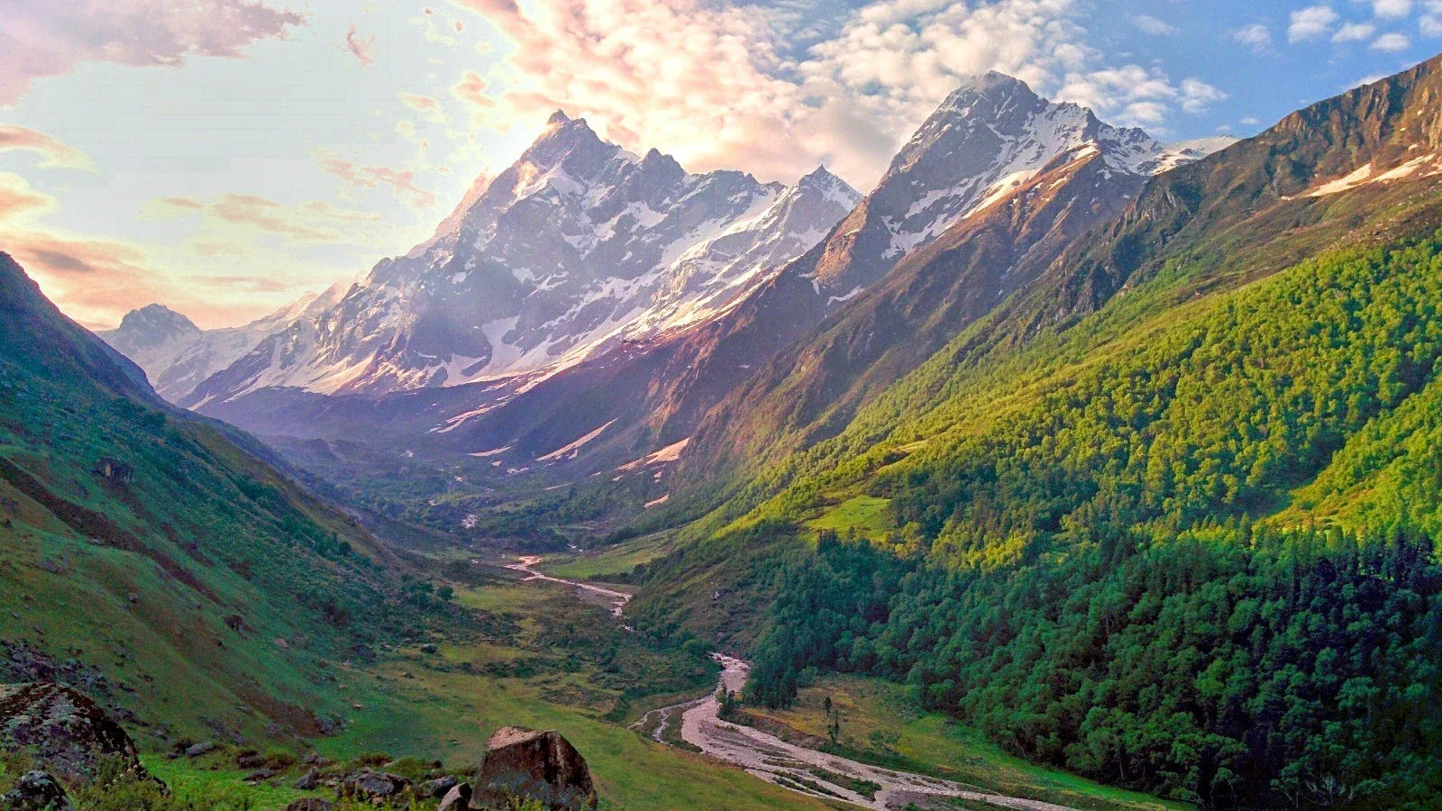
The route navigates the open Har Ki Dun valley basin bordered by glaciated peaks.
Camp Alt
8,500 ft
Day Gain
-450 ft
Reach Seema
Descend back toward the river. Cross the bridge to visit Osla village. Explore the ancient wooden architecture and the famous Someshwar (Duryodhana) temple. Osla is culturally one of the most significant villages in the Himalayas. Night stay in Seema campsite or guesthouse.
Key Landmarks
Staying At
The route descends from the high valley pastures back toward the Supin river gorge.
Field Notes
KEY ACTIONRiver Crossings
Plan to cross early in the day before snowmelt swells the water levels. Unclip backpack waist belts before crossing.
Camp Alt
6,400 ft
Day Gain
-2,100 ft
Trek to Dhatmeer & Drive to Sankri
A long descent following the river back to Dhatmeer. A 12km drive from Taluka brings you back to Sankri. Final celebration dinner with the group in Sankri. Hot showers and network return!
Key Landmarks
The high alpine meadows narrow into forested river terraces as tree line vegetation reappears in the lower mountain river corridor.
Field Notes
KEY ACTIONRiver Crossings
Plan to cross early in the day before snowmelt swells the water levels. Unclip backpack waist belts before crossing.
Camp Alt
1,480 ft
Day Gain
-4,920 ft
Drive to Dehradun
Return drive. Reach Dehradun by 7:00 PM. Book travel after 9:00 PM.
The mountain valley topography transitions back into the lower foothill river plains.
Trek Extensions & Add-ons
Marinda Tal Expedition
+1 DayShort trek to a high-altitude glacial lake above Har Ki Dun for rare plant sightings.
Plan Your Trek:
Ready to book? Compare verified operators for Har Ki Dun Trek — transparent pricing, no paid rankings.
Still deciding?
Compare routes side-by-side to find the perfect match for your fitness, dates, and budget.
Day by day, camp by camp. Send this to your group so everyone's on the same page.
Step 4: Cost & Logistics
You understand the route.
Now see what services, permits, and logistics actually cost.
View Cost Breakdown