Detailed Route
Chitkul Valley Trail Trek Itinerary — Day by Day Route & Camps
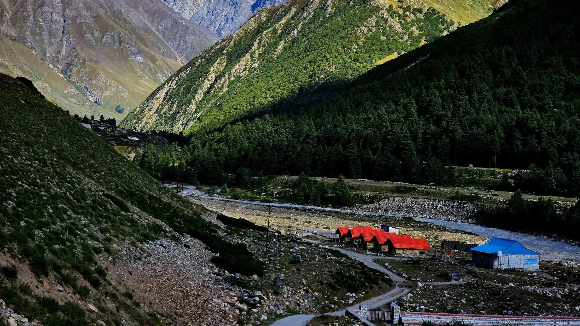
A 4-day immersive cultural and geographic experience starting from Sangla, leading to the last inhabited village on the Indo-Tibetan border and its sacred meadows.
Standard RouteThis is the standard mountain pacing for this trek. Specific operators may add an acclimatization day or alter the starting point. Check individual operator schedules for their exact logistics.
Duration
4 Days
Total Distance
28 KM
Max Altitude
12,500 FT
Trek Type
linear
Day by Day Breakdown
Arrive in Chitkul: Gateway to the End
Drive to the last village and settle in. Short evening walk to the local temple.
Key Landmarks
Trek: Chitkul to Nagasti ITBP Post & back
Relatively flat riverside walk. Experience the tension and serenity of the border.
Key Landmarks
Trek: Ridge Exploration toward Rani Kanda
Steeper climb for panoramic views of the entire Baspa valley and Tibetan giants.
Key Landmarks
Cultural Day & Departure
Visit the Mathi Devi temple and explore the traditional village architecture before heading back.
Key Landmarks
Trek Extensions & Add-ons
Lamkhaga Pass Base Camp
+3 DaysProceed beyond Nagasti (with army permit) to the base of the Lamkhaga Pass for a more rugged experience.
Also on this trek
Ready to book? Compare verified operators for Chitkul Valley Trail — transparent pricing, no paid rankings.
Still deciding?
Compare routes side-by-side to find the perfect match for your fitness, dates, and budget.
Day by day, camp by camp. Send this to your group so everyone's on the same page.
Love this itinerary?
Find operators who follow this exact route with verified acclimatization days.
Find matching operators