
Explore
Intelligence
Season & Weather Guide
Best Time for Chitkul Valley Trail Trek — Month-by-Month Guide
The post-monsoon clarity of September and October is unbeatable for viewing the Kinner-Kailash peaks, while June offers a lush, pleasant summer escape.
Seasonal Verdict
When should you go?
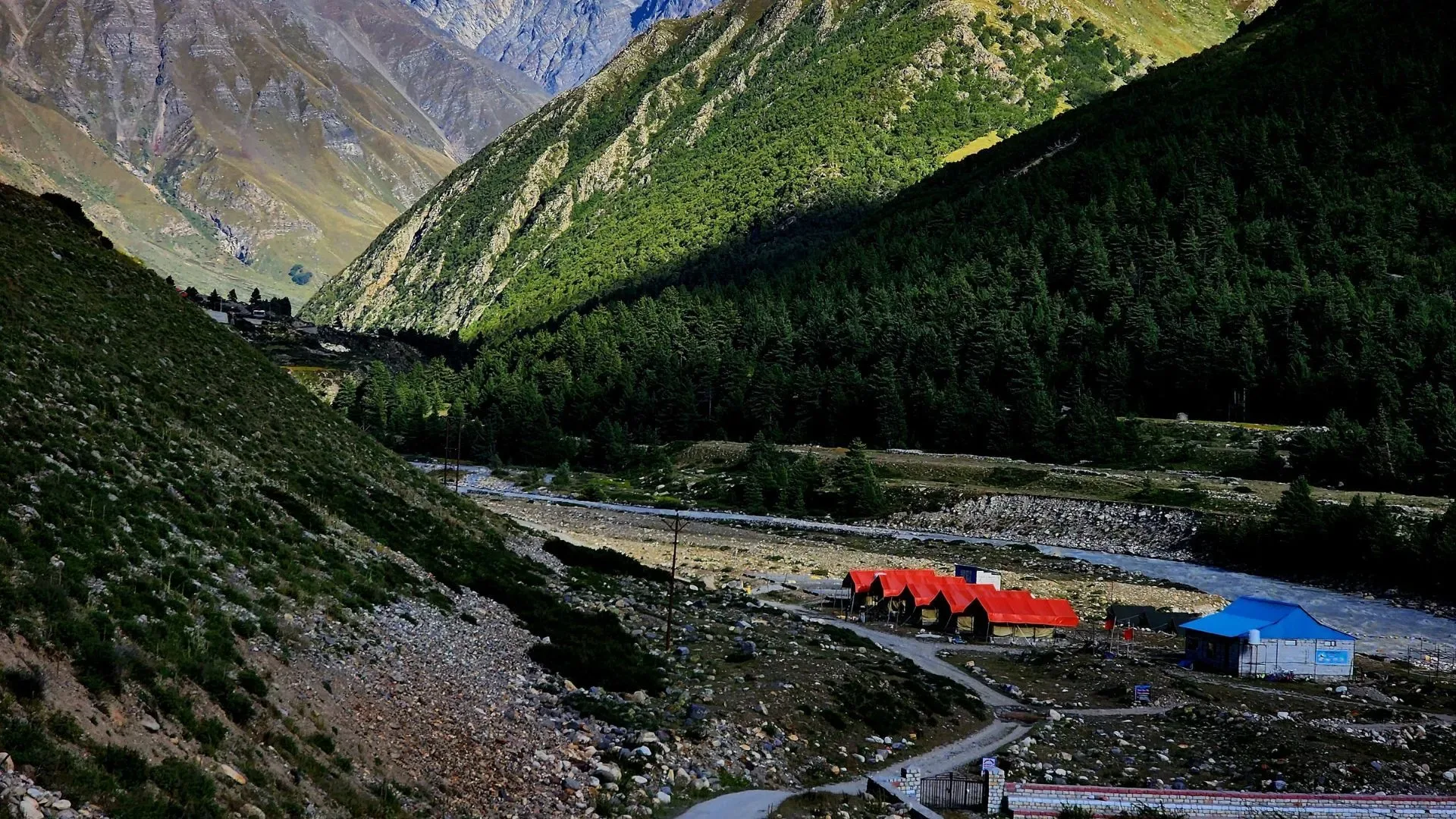
Chitkul is a magnificent border village trail in the Kinnaur Valley. Set at 11,300 ft, it offers stunning views of the Tibetan plateau and Kinnaur Kailash peaks. May to June and September to October are ideal. The monsoon brings dangerous landslides to the approach roads, and winter sees the village buried under feet of snow.
Season at a Glance
Editor's Notes
May to June and September to October offer the clearest, most pleasant weather for exploring.
Avoid winter (Dec-March) due to heavy snow, and monsoon (July-August) due to high landslide risk.
Month by Month
What each month looks like
January
Conditions
Deep winter. The village is often cut off by heavy snow on the approach roads.
Crowds
none
Extreme winter conditions and road closures.
Closed. Extreme winter conditions.
February
Conditions
Deep winter. The village is often cut off by heavy snow on the approach roads.
Crowds
none
Extreme winter conditions and road closures.
Closed. Extreme winter conditions.
March
Conditions
Deep snow accumulations remain. Travel is highly unpredictable.
Crowds
none
Deep unstable snow and road blockages.
Early season. Deep snow accumulations.
April
Conditions
Early season. Deep snow accumulations on the ridges, but the village begins to open up.
Crowds
low
Deep unstable snow on the trails.
Early season. Deep snow accumulations.
May
Peak SeasonConditions
Prime pre-monsoon window. Mild weather and the valley turns lush green.
Crowds
medium
Prime pre-monsoon window. Good snow stability.
June
Peak SeasonConditions
Peak season. Pleasant days and cool nights. Best time for ridge explorations.
Crowds
high
Prime pre-monsoon window. Good snow stability.
July
Conditions
Monsoon danger. While Kinnaur gets less rain, the approach road via Sangla is highly prone to landslides.
Crowds
low
Severe landslide risk on the approach highway.
Monsoon danger. Landslides and severe rains.
August
Conditions
Monsoon danger. While Kinnaur gets less rain, the approach road via Sangla is highly prone to landslides.
Crowds
low
Severe landslide risk on the approach highway.
Monsoon danger. Landslides and severe rains.
September
Peak SeasonConditions
Autumn colors begin. The monsoon dust is cleared, offering the best clarity for peak viewing.
Crowds
high
Crystal clear skies. Best visibility of the year.
October
Peak SeasonConditions
Cold but beautiful. First light snow possible, but skies remain crystal clear.
Crowds
medium
Crystal clear skies. Best visibility of the year.
November
Conditions
Winter setting in. Sub-zero temperatures rapid and early snows can block the road.
Crowds
low
Extreme cold and early winter storms.
Winter setting in. Sub-zero temperatures rapid.
December
Conditions
Closed. Extreme winter conditions and the highway is frequently blocked.
Crowds
none
Extreme winter conditions and road closures.
Closed. Extreme winter conditions.
Plan Your Trek:
Still deciding?
Compare routes side-by-side to find the perfect match for your fitness, dates, and budget.
Timing makes or breaks a trek. Send this to your group before you decide.
Step 3: Route Intelligence
You've chosen a season.
Now see exactly how the route unfolds day by day, including terrain types and daily altitude profiles.
Explore the Itinerary