Difficulty & Readiness Guide
Is Chitkul Valley Trail Trek Difficult? — Fitness & Altitude Guide
An easy-to-moderate valley trail; the primarily flat riverside walk is suitable for beginners, while the ridge exploration offers a gentle challenge for panoramic views.
Preparation Required
Intermediate
Prior Experience
Recommended: 1-2 easy Himalayan treks or regular hiking experience.
Score Engine v3
Why This Score?
Stamina
31/100
Based on average nightly altitude gain, highest campsite, and daily distance. Reflects how hard the average day feels.
Spike Day
22/100
Based on max altitude reached, summit day elevation gain, and summit day distance. Reflects the hardest single day.
Why Chitkul Valley Trail Feels Difficult
A capable trekker's route that balances altitude exposure and terrain ruggedness.
Physiological Demand
Significant time spent above 12,000ft. Expect shortness of breath and slower pacing.
Rough, uneven trails with occasional scrambling or minor exposure.
Comfortable pacing with moderate daily distances.
Comfortable pacing with good recovery options.
Crux Section
Day 3 — Oxygen Peak
Highest exposure point at 12,500ft.
Chitkul Valley Trail/ 36
Terrain Breakdown
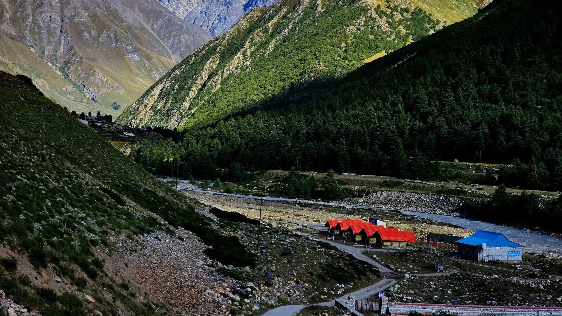
Mostly well-defined dirt paths and riverbed boulders. Gentle gradients make it accessible for most ages.
Summit Day Notes
The ridge hike is the most demanding part, involving narrow shepherd paths and some loose soil.
Preparation
Basic walking fitness and good respiratory health for the 11,000+ ft altitude are sufficient.
Altitude Profile
You will be ascending from an base altitude of 11319 ft to 12500 ft.
Run AMS Risk Audit →Route Stress Forecast
Highest exposure point at 12,500ft.
Day 3 requires the highest sustained output.
*Forecast derived from route geometry and altitude profile. External variables (weather/group) remain the final authority.
Trail Performance Data
Max Gradient
25%
Hydration
0.3L per km recommended
Loose Surface Sections
- •Upper ridge scramble
Common Mistakes on Chitkul Valley Trail
Most injuries and failures on this trail can be avoided by making smarter decisions early on.
Underestimating the sudden and drastic temperature drop immediately after sunset.
Wandering off-trail too close to the sensitive ITBP restricted border areas.
Safety & Medical Risks
Key Risks
Cold exposure at night
AMS if not acclimatized in Sangla
River currents
AMS (Altitude Sickness)
At 11,300 ft, even light activity can cause shortness of breath for newcomers.
Evacuation Route
Road access is available directly from the village for emergencies.
Common Trail Ailments
🏥 Nearest ICU: IGMC, Shimla
Tactical Emergency Hub
> Immediate road evacuation possible. Military helipad at Chitkul for high-priority extracts.
Who Can Do This Trek?
Min Age
8+
Max Age
65
Western Toilets at Base
Yes
Solo Female Travelers
Extremely safe; well-developed tourism infrastructure and peaceful community.
Expert Verdict
Highly technical trek requiring physical and mental preparation.
Ready to book? Compare verified operators for Chitkul Valley Trail — transparent pricing, no paid rankings.
Want to know which operators carry certified guides and medical support? See operator safety ratings for Chitkul Valley Trail
Also on this trek
Still deciding?
Compare routes side-by-side to find the perfect match for your fitness, dates, and budget.
Still think it's doable? Share this with your trek mate and see if they agree.
Fit for the challenge?
For challenging treks, safety is paramount. Find operators prioritizing medical support and guide expertise.
Compare operator safety scores