
Explore
Intelligence
Season & Weather Guide
Best Time for Bali Pass Trek — Month-by-Month Guide
May to June suits Bali Pass Trek best — snow bridges are stable and the Yamunotri valley approach stays fully open.
Seasonal Verdict
When should you go?
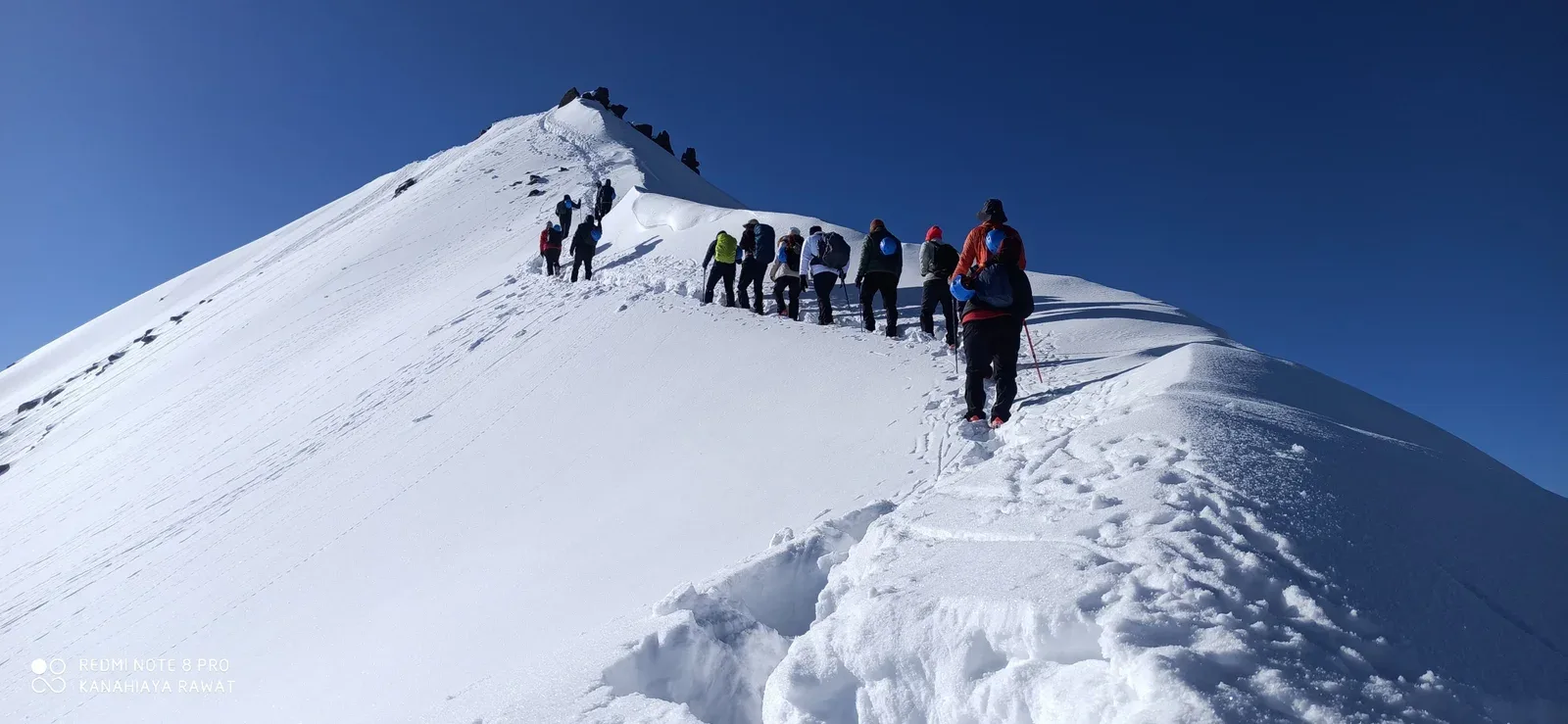
Bali Pass (16,200 ft) is a challenging crossover in the Garhwal Himalayas connecting the Har Ki Dun valley with Yamunotri. It requires negotiating steep snow and scree. It has two narrow operational windows: Pre-monsoon (May-June) for stable snow bridges, and Post-monsoon (Sept-Oct) for clear skies and hard ice.
Season at a Glance
Editor's Notes
May to June offers pleasant days and lingering snow trails, while September to October brings clearer skies and colder nights.
The monsoon season (July-August) carries a high landslide risk and should be avoided.
Month by Month
What each month looks like
January
Conditions
Deep winter. The pass is completely buried under snow and inaccessible.
Crowds
none
Severe winter freeze and blocked high pass.
Closed. Extreme winter conditions.
February
Conditions
Deep winter. The pass is completely buried under snow and inaccessible.
Crowds
none
Severe winter freeze and blocked high pass.
Closed. Extreme winter conditions.
March
Conditions
Trails are snowbound. Avalanche risk is extremely high on the steep slopes of the pass.
Crowds
none
High avalanche danger and uncleared trail.
Early season. Deep snow accumulations.
April
Conditions
Deep unstable snow on the pass approach. Too risky for commercial teams.
Crowds
none
Deep unstable snow and high avalanche risk.
Early season. Deep snow accumulations.
May
RecommendedConditions
The pass opens. Significant snow on the Yamunotri descent requires technical guidance and micro-spikes.
Crowds
low
Prime pre-monsoon window. Good snow stability.
June
Peak SeasonConditions
Peak pre-monsoon window. Snow is well-consolidated and the Har Ki Dun valley is green.
Crowds
high
Prime pre-monsoon window. Good snow stability.
July
Conditions
Monsoon hits Garhwal. The steep descent to Yamunotri becomes a lethal mud and rockfall trap.
Crowds
none
Severe rockfall and landslide risk in monsoon.
Monsoon danger. Landslides and severe rains.
August
Conditions
Peak monsoon. The trail is washed out and completely unsafe for a pass crossing.
Crowds
none
Severe rockfall and landslide risk in monsoon.
Monsoon danger. Landslides and severe rains.
September
Peak SeasonConditions
The gold standard. The monsoon clears the dust, leaving razor-sharp views of Swargarohini and Bandarpoonch.
Crowds
high
Crystal clear skies. Best visibility of the year.
October
Peak SeasonConditions
Autumn conditions. The pass may encounter early snowfall. The descent is icy and requires caution.
Crowds
medium
Crystal clear skies. Best visibility of the year.
November
Conditions
Winter starts. Sub-zero temperatures and high winds make the pass crossing too dangerous.
Crowds
none
Extreme wind chill and early winter storms.
Winter setting in. Sub-zero temperatures rapid.
December
Conditions
The route is fully closed and abandoned for the winter.
Crowds
none
Severe winter freeze and blocked high pass.
Closed. Extreme winter conditions.
Plan Your Trek:
Still deciding?
Compare routes side-by-side to find the perfect match for your fitness, dates, and budget.
Timing makes or breaks a trek. Send this to your group before you decide.
Step 3: Route Intelligence
You've chosen a season.
Now see exactly how the route unfolds day by day, including terrain types and daily altitude profiles.
Explore the Itinerary