Essential Planning Guide
Twin Peak (KY2 + Dzo Jongo East) Expedition — Complete Guide (2026)
Introduction
The Twin Peak Expedition is an ambitious double-summit program in the Markha Valley, combining Kang Yatse II (6,250m) and Dzo Jongo East (6,189m) in a single 14-day alpine journey. Both peaks sit in close proximity above the Nimaling plateau in Hemis National Park, making it logistically efficient to bag both in one expedition window. This is designed for fit trekkers who have already completed a high-altitude peak and want to push their endurance and altitude tolerance to the next level. You earn two IMF summit certificates and two different perspectives of the Zanskar range. The Twin Peak program has an exceptional value proposition — two 6,000m summits for the cost of one and a half expeditions.
Ready to book? Compare verified operators for Twin Peak (KY2 + Dzo Jongo East) Expedition — transparent pricing, no paid rankings.
Quick Facts
Duration
Max Altitude
Difficulty
Best Time
Trek Distance
Trail Atmosphere
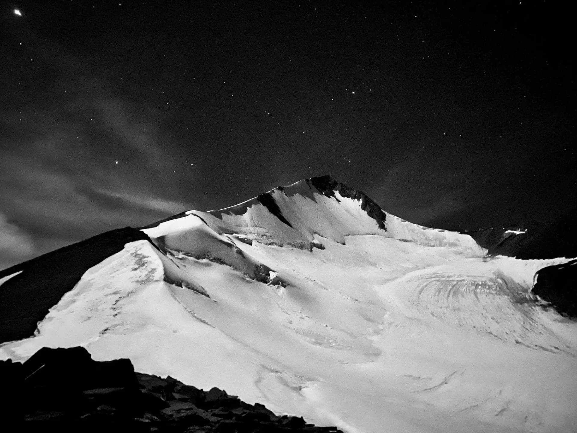
Stargazing
Class 1 Dark Sky
Scent Profile
Silence Level
~10 dB
Vertigo Factor
8 / 10
Primarily a joint & muscle impact and cumulative fatigue challenge
An elite-level undertaking with extreme joint & muscle impact, cumulative fatigue, and altitude exposure. This route will push every dimension of your physical and mental endurance to the limit.
Iconic Spots
Yunam Summit (20,046 ft)
Getting There
Route to Base
Fly to Leh, 2 acclimatization days, drive to Chilling, 4-day Markha Valley approach
Base Village
Nimaling
15,420 ft
Nearest Railhead
Chandigarh Railway Station (IXC)
Nearest Airport
Kullu-Manali Airport, Bhuntar (KUU) / Chandigarh (IXC)
Last ATM
Leh
Nearest Medical Facility
SNM Hospital, Leh
Mobile Signal
None.
Water Sources
Snow melting required at Base Camp.
Charging
Zero charging points after Keylong.
For Drivers
Road Condition
Manali to Darcha is excellent highway. Darcha to Bharatpur is steep, unpaved highway traversing sheer cliffs.
Keylong / Jispa
Trail Culinary & Diet
Don't miss the High altitude noodle soups for fast carb absorption
Buy specialized diet items at Manali
The Content & Remote Hub
No DronesStrictly banned due to extreme high altitude and proxy to military checkposts.Top Vlog Spots
Video Calls
none
Est. 0 Mbps
UPI Reliability
1/10
Guide Wisdom
Caution
The biggest mistake on Twin Peak programs is celebrating too hard after KY2. Eat well, sleep long, and keep the emotion controlled — you have another 6,000m mountain in 3 days.
Explore In Detail
Day by Day Itinerary
14-day route reaching 20,505ft. Covers 95km of varied terrain.
→ See full itinerary with altitude profileDifficulty & Fitness
Rated extreme. Back-to-back summits across two different snowfield approaches in the Markha Valley.
→ See difficulty breakdown and fitness guideCost & Pricing
Packages range from ₹55,000 – ₹75,000. Inclusions and hidden costs vary by operator tier.
→ See full cost breakdownPermits and Regulations
IMF (Indian Mountaineering Foundation) peak booking fees apply because the altitude crosses 6000 meters. A heavily monitored police checkpoint at Darcha records all climber passport/Aadhar details.
Learn more about how we vet operators and ensure transparency on our why MountRoutes page.
Packing List
Expedition Clothing
- Summit Down Jacket (-25°C rating mandatory)
- Waterproof breathable alpine trousers
- Heavyweight thermal baselayers (Upper & Lower)
- Fleece mid-layers
- Balaclava/Face mask (To prevent frostbite from summit winds)
Footwear & Navigation
- Category C or D Expedition Boots (Must be extremely stiff-soled)
- Gaiters (For walking through the deep snow on the upper ridges)
- Micro-spikes (Operator usually provides crampons if ice is hard)
Wilderness Survival Gear
- Category 4 Glacier glasses (Mandatory)
- Trekking poles with snow baskets
- Heavy-duty expedition mitts (Not just gloves)
Flora & Fauna
Flora
Fauna
The high peaks of Lahaul are often seen as meditating ascetic monks by the locals, unbothered by the mortal world below.
— Local folklore
Spiritual & Cultural Significance
Low. Purely a mountaineering challenge.
🕐 Shrine Timings: N/A
Temple Protocols
Frequently Asked Questions
Do I need experience before attempting the Twin Peak expedition?
Yes. You should have completed at least one high-altitude trek above 15,000 ft and have basic crampon and ice-axe skills. The Twin Peak program is extremely physically intensive, demanding back-to-back 6,000m summits within 3 days.
What if weather prevents the second summit?
The itinerary includes a built-in buffer. If Dzo Jongo East is not possible due to weather or exhaustion, the expedition still concludes successfully with the KY2 summit. Two summits are the target, while completing one remains a major achievement.
How are the logistics set up for two peaks from the same base camp?
The beauty of this Twin Peak expedition is that both Kang Yatse II (6,240m) and Dzo Jongo East (6,189m) are accessed from the same glaciated valley system. We establish a central Base Camp at Nimaling / KY2 Base Camp, allowing climbers to rest and recover between the two summit bids without moving camps.
How many rest/recovery days are there between the two summits?
The standard itinerary provides a dedicated 24-48 hour window of complete rest and hydration at Base Camp between the KY2 descent and the Dzo Jongo East ascent. This allows muscle recovery and rehydration before launching the technical push.
Is Dzo Jongo East more technical than KY2?
Yes, significantly. While KY2 is a straightforward non-technical walk-up on a 30-35° snow slope, Dzo Jongo East features a technical, exposed 45° snow/ice ridge that requires fixed ropes, roped team travel, and precise crampon work.
What is the best month to attempt the Twin Peak expedition?
The prime climbing window is from July to September. During this time, the Ladakh region experiences dry, stable weather in the rain shadow. July offers more snow cover on the slopes, while September provides hard ice conditions and colder, clearer days.
What specialized gear is required for this twin climb?
You need rigid B3 mountaineering boots, 12-point crampons, a climbing helmet, an ice axe, climbing harness, ascending device (Jumar), safety cowtails, and a descender. Standard trekking boots are only suitable up to Base Camp.
How cold does it get at the Base Camp and during the summit pushes?
Nights at Base Camp routinely plunge to -10°C. During the early morning summit pushes (starting at 11 PM / midnight), temperatures on the ridges can drop to -15°C to -20°C with severe wind chill, requiring 4-layer down protection.
What is the acclimatization schedule like?
Acclimatization is built organically into the approach. Climbers spend 3 days in Leh, followed by a slow, multi-day trek through the Markha Valley via Skiu and Markha, arriving at Base Camp fully acclimatized before the first summit bid on KY2.
Are there two separate summit certificates issued?
Yes, the Indian Mountaineering Foundation (IMF) or the local climbing council issues separate, individual summit certificates for both Kang Yatse II and Dzo Jongo East upon verification of summit photos and logs.
Is helicopter rescue available for the Twin Peak route?
Yes, the Nimaling plains just below the Base Camp serve as an active landing pad for military and civilian rescue helicopters, subject to clear weather and administrative permissions.
How is water obtained at the shared Base Camp?
Natural glacial meltwater streams near the campsite are boiled and filtered by the kitchen crew. During the cold nights, water in bottles can freeze solid; climbers must store their bottles inside the sleeping bag to prevent freezing.
Other Expeditions Guides
Still deciding?
Compare routes side-by-side to find the perfect match for your fitness, dates, and budget.
Everything you need to know, in one place. Someone else in your group needs to see this.
Planning Twin Peak (KY2 + Dzo Jongo East) Expedition?
Get route conditions, operator updates, and season windows before booking.
No spam. Only useful updates.
Ready to walk this route?
You’ve read the guide, now find the perfect local team to take you there. Compare our verified list of operators.
Compare verified operators