Traverse Safety & Risk
Satopanth Bhagirath Kharak Traverse Expedition — Safety Guide
Altitude physiology, pass crossing go/no-go criteria, evacuation protocol, and insurance requirements.
Primary Hazards
Rockfall in Bhagirath Kharak
Glacial pool crevices
Sudden blizzards at the lake
AMS Protocol
High risk due to baseline altitude starting at 10k ft. Proper hydration and slow ascent from Sahasradhara are vital.
Altitude Physiology — SpO₂ by Camp
Badrinath
92
SpO₂
Laxmiban
88
SpO₂
Chakratirth
82
SpO₂
Satopanth
78
SpO₂
Turn-Around Threshold
SpO₂ < 75%
Descend immediately if reading drops below this at rest
Diamox (Acetazolamide)
Recommended
125mg twice daily starting at Badrinath.
⚠️ Golden Rule: Descend to Laxmiban or Badrinath immediately.
Expedition Medical Kit
Pass Crossing Protocol
GO Conditions
- ✓ Clear visibility
- ✓ Stable moraine
NO-GO Conditions
- ✗ Heavy rain/snow
- ✗ Whiteout
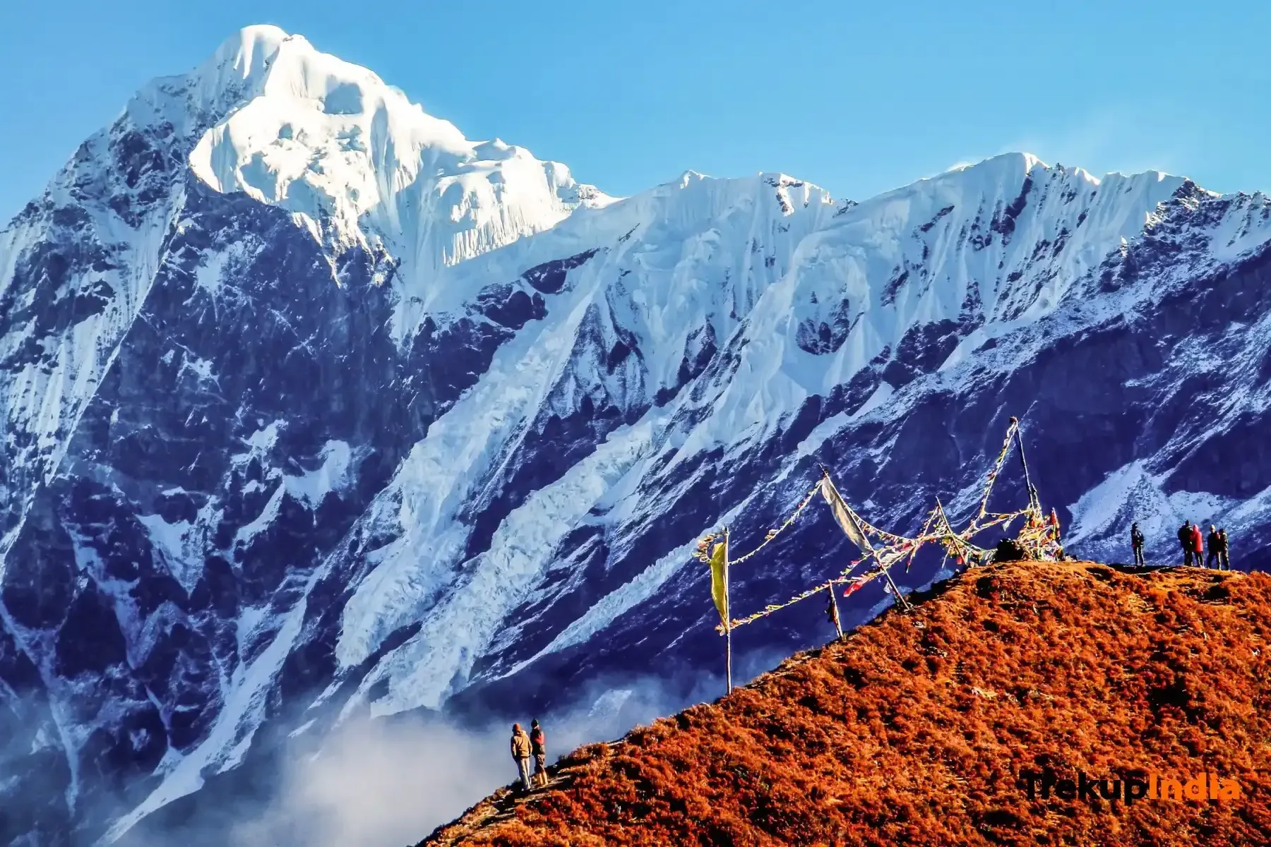
Glacier Hazards — Satopanth & Bhagirath Kharak
Crevasse Zone
Mid to upper reaches of Satopanth glacier
Crevasse Zone
Junction of Bhagirath Kharak
Avalanche Path
Slopes descending from Neelkanth and Balakun
Historical Safety Record
We publish verified incident records to help trekkers and operators make informed decisions. Names and personal identifiers are anonymized.
Documented
6
verified incidents
Fatalities
0
none recorded
Near Misses
3
logged
We have analysed 6 documented incidents for this expedition to extract critical safety lessons.
Due to the nature of mountaineering — where most non-fatal incidents go unreported — experts estimate 12+ total historical incidents on this route. Estimated historical fatalities: 2. We present the documented record as-is rather than speculate on undocumented cases.
Year
2022
Snow Blindness
Outcome
Led out by team members
Contributing Cause
UV-protective eyewear not worn on high snowfields
Key Safety Lesson
Always uV radiation on high-altitude snowfields is intense. Wear Category 4 sunglasses constantly.
Year
2022
Lost / Navigation Failure
Outcome
Rescue by external team
Contributing Cause
Contributing factors not fully documented
Key Safety Lesson
Do not blindly follow sheep trails. Always use a calibrated compass and GPS.
Year
2021
Weather Stranding
Outcome
Self-recovered
Contributing Cause
Contributing factors not fully documented
Key Safety Lesson
Always pitch tents at least 50 meters above the riverbed to avoid sudden glacial surges.
Year
2019
Lost / Navigation Failure
Outcome
Rescue by external team
Contributing Cause
Contributing factors not fully documented
Key Safety Lesson
Always the moraine is shifting constantly. GPS is mandatory, as trails disappear year over year.
Year
2019
Fall — Rocky Terrain
Outcome
Self-recovered
Contributing Cause
Loose scree and insufficient footwear traction
Key Safety Lesson
Always move quickly and quietly through steep gorges. Helmets must be worn at all times.
Year
2013
Exhaustion / Overexertion
Outcome
Self-recovered
Contributing Cause
Contributing factors not fully documented
Key Safety Lesson
Always treat your support staff with extreme respect. They are your lifeline.
Source: Public Records / News Reports
Why estimates differ from records: IMF and news sources only capture permitted expeditions and helicopter rescues. Non-fatal near-misses (AMS, frostbite, falls with self-rescue) are almost never filed. Peaks with multi-decade climbing histories compound these gaps significantly.
Emergency Contacts
Evacuation Route
Manual carry to Mana village roadhead. Very difficult terrain for stretchers.
Solo Advisory
Extremely dangerous due to hidden crevasses and boulder falls on the moraine.
Mandatory Operator Equipment
Verify this equipment is included before booking. Compare operator safety standards →
Compare Operators on Safety Standards
See which operators carry certified guides, satellite comms, and medical support for Satopanth Bhagirath Kharak Traverse Expedition.
View OperatorsStill deciding?
Compare routes side-by-side to find the perfect match for your fitness, dates, and budget.
Knowledge Integrity
Help us keep this data ground-truth accurate.
This encyclopedia entry for Satopanth Bhagirath Kharak Traverse Expedition is curated from a mix of public survey records, first-hand climber accounts, and official permit logs. However, mountains are dynamic. If you have been on this route recently and noticed a change in terrain, water availability, or local regulations, we want to hear from you.
Community Vetted
Last Verified: May 2026
EXPEDITION DATABASE