
Explore
Intelligence
Essential Planning Guide
Friendship Peak Expedition — Complete Guide (2026)
Vibe & Scenery
The Experience
Introduction
Rising to 5,289 m (17,350 ft) in the Pir Panjal Range, Friendship Peak has earned its reputation as India's premier introductory mountaineering expedition. Positioned above Solang Valley, it provides aspiring climbers with their first genuine experience of glacier travel, snow climbing, and high-altitude expedition life without the extreme technical demands of larger Himalayan peaks.
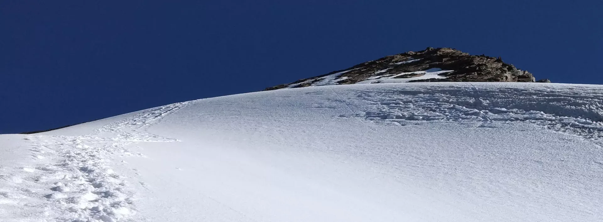
The expedition begins from Dhundi, climbing through dense forests and the spectacular alpine meadows of Bakarthach before establishing higher camps near Lady Leg beneath the mountain. Summit day typically involves negotiating moraines, snowfields, glaciated terrain, and, depending on seasonal conditions, fixed ropes across steeper sections before reaching the broad summit ridge.
With commanding views of Hanuman Tibba, Deo Tibba, Shitidhar, and the surrounding Pir Panjal peaks, Friendship Peak remains the ideal stepping stone from trekking into Himalayan mountaineering.
Quick Facts
Duration
Max Altitude
Difficulty
Best Time
Trek Distance
Trail Atmosphere
Stargazing
Class 2 Dark Sky
Scent Profile
Silence Level
~25 dB
Vertigo Factor
4 / 10
Iconic Spots
Lady Leg Ridge
Friendship Summit
Bakarthach Meadows
Environment
Nature & Culture
Flora & Fauna
Flora
Fauna
Named 'Friendship Peak' to signify camaraderie. The 'Lady Leg' camp is a distinct geological ridge reminiscent of its namesake.
— Local folklore
Spiritual & Cultural Significance
Proximity to the sacred Beas Kund lake source.
🕐 Shrine Timings: N/A
Temple Protocols
Technical Details
Challenge & Preparation
Primarily a terrain ruggedness and cardio demand challenge
A demanding expedition dominated by extreme terrain ruggedness.
Personal Readiness
Am I ready?
Planning
Logistics & Trail Intel
Getting There
Route to Base
1-hr drive from Manali via Solang Valley to Dhundi road-head
Base Village
Manali (Dhundi road-head)
9,500 ft
Nearest Railhead
Chandigarh Railway Station (IXC)
Nearest Airport
Kullu-Manali Airport, Bhuntar (KUU)
Last ATM
Manali Mall Road.
Nearest Medical Facility
Manali Mission Hospital
Mobile Signal
Airtel/Jio at roadhead (Dhundi). Spotty/Zero signal beyond Bakarthach.
Water Sources
Available at Dhundi and Bakarthach camps. Lady Leg and Summit camp require melting snow or glacial streams.
Charging
No electricity beyond Solang Valley base. High-capacity power banks mandatory.
For Drivers
Road Condition
Well-paved road from Manali to Solang, then paved forest road to Dhundi.
Manali Town
Trail Culinary & Diet
Don't miss the Manali Trout (Pre/Post trek)
Buy specialized diet items at Manali Town
The Content & Remote Hub
Top Vlog Spots
Video Calls
base-only
Est. 10 Mbps
UPI Reliability
4/10
Base WiFi Available
Permits and Regulations
Expedition permits are required from the Indian Mountaineering Foundation (IMF) for technical peaks above 5,000m. Local forest permits from the Manali Division are also needed for camping at Bakarthach. All groups must be accompanied by a certified mountaineering guide. Trash must be strictly carried back to Dhundi; Bakarthach follows a 'zero-trace' policy monitored by the local trekking association.
Learn more about how we vet operators and ensure transparency on our why MountRoutes page.
Packing List
Mountaineering Clothing
- Heavy down jacket (-20°C rated)
- 3 Thermal base layers
- 2 Fleece middle layers
- Waterproof hardshell jacket and pants
- Balaclava and woolen cap
- Waterproof insulated climbing gloves
- Woolen socks (4 pairs)
Technical Equipment
- Mountaineering boots (crampon-compatible)
- Crampons (12-point)
- Ice Axe (with leash)
- Climbing harness and carabiners
- Gaiters (snow-rated)
- UIAA Helmet
Base Camp Gear
- Cold-weather sleeping bag (-15°C rating)
- Headlamp with lithium batteries (cold-resistant)
- UV400 Glacier sunglasses
- Sunscreen SPF 50+
- Power bank 30000mAh
- 3L Water capacity
- Personal AMS kit
Deep Dives
Explore Further
Editor's Notes
While advanced technical expertise is not required, professional guides are essential to teach basic mountaineering skills like using crampons and ropes.
Explore In Detail
Day by Day Itinerary
8-day route reaching 17,352ft. Covers 32km of varied terrain.
→ See full itinerary with altitude profileDifficulty & Fitness
Rated challenging. Glaciated summit push, loose boulders, and high-altitude moraine. Crux is the midnight summit push on ice.
→ See difficulty breakdown and fitness guideCost & Pricing
Packages range from ₹39,000 – ₹64,000. Inclusions and hidden costs vary by operator tier.
→ See full cost breakdownFrequently Asked Questions
Is Friendship Peak a technical climb?
It is a non-technical peak in late summer, but requires technical gear like crampons, ice axes, and ropes in spring and early summer due to hard ice.
Do I need previous mountaineering experience?
No, but you must have done high-altitude treks (15,000 ft+) and be in excellent physical condition.
What is the role of a "Technical Guide"?
They manage roped-up movement, ensure your crampoons are secure, and guide you through the safe path on the glacier to avoid hidden crevasses.
What is the summit success rate?
Success rates vary between 50-70% depending on weather conditions and individual fitness levels at the higher camps.
How cold it gets at the Lady Leg camp?
Night temperatures can drop to -10°C even in summer. High-quality expedition weight gear is required.
What is the best month for the summit?
May-June and September-October are the peak windows. June is best for snow, September for dry technical climbing.
Can we see Manali from the summit?
You get a bird's eye view of the Beas Valley and the town of Manali, framed by the Dhauladhar and Pir Panjal ranges.
What peaks are visible nearby?
Indrasan, Deo Tibba, and Hanuman Tibba are the most prominent giants visible during the climb.
Is it safer than other trekking peaks?
Every peak has risks, but Friendship is considered a good entry-level peak because it has a well-defined route and approachable base camps.
Route Intelligence
Routes With Similar Character
Routes that share the character of Friendship Peak Expedition.
Hanuman Tibba Expedition
Both are designed around reaching a high-altitude summit. They share multiple characteristics.
Deo Tibba Peak Expedition
Both are designed around reaching a high-altitude summit. They share multiple characteristics.
Kang Yatse 1 Peak Expedition
Both are designed around reaching a high-altitude summit. They share multiple characteristics.
Still deciding?
Compare routes side-by-side to find the perfect match for your fitness, dates, and budget.
Everything you need to know, in one place. Someone else in your group needs to see this.
Planning Friendship Peak Expedition?
Get route conditions, operator updates, and season windows before booking.
Don't miss out! Follow us for route updates@mountroutes|LinkedIn
No spam. Only useful trek updates.
Ready to walk this route?
You’ve read the guide, now find the perfect local team to take you there. Compare our verified list of operators.
Compare verified operators