
Explore
Intelligence
Detailed Route
Friendship Peak Expedition Itinerary — Day by Day Route & Camps
An 8-day mountaineering progression from Dhundi to the 'Lady Leg' high camp, followed by a midnight summit push.
Standard RouteThis is the baseline pacing strategy for this expedition. Expedition leaders frequently modify rotation schedules, add reserve weather days, or adjust high camps based on real-time mountain conditions. Consult the operator's expedition dossier for their precise approach.
Duration
8 Days
Total Distance
32 KM
Max Altitude
17,352 FT
Trek Type
linear
Permits Required Before You Go
Permit Cost
Foreigner Process
IMF Permit and Peak Fee apply; processing time 3 weeks.
Nearest Embassy Hub
Delhi
Day by Day Breakdown
Camp Alt
6,700 ft
Day Gain
0 ft
Today's Objective
☕ Acclimatization & Recovery
Arrive in Manali. Mandatory gear check and IMF briefing. Rest is key.
Key Landmarks
The environment remains fixed within the forested town of Manali.
Camp Alt
10,200 ft
Day Gain
+3,500 ft
Drive to Dhundi & Trek to Bakarthach
Drive to Dhundi (~1 hr). Easy trek through forests to the meadow camp. Technical: Roadhead at 9,500ft. Landscape: Traditional shepherd meadows.
Key Landmarks
Staying At
The vehicle road terminates at Dhundi, where dense birch forests gradually give way to the traditional alpine shepherd meadows of Bakarthach.
Field Notes
KEY ACTIONRiver Crossings
Plan to cross early in the day before snowmelt swells the water levels. Unclip backpack waist belts before crossing.
Camp Alt
13,200 ft
Day Gain
+3,000 ft
Reach Lady Leg (Advance Base Camp)
Steep climb over boulders and moraine. Lady Leg is the Advanced Base Camp. Safety: 13.2k ft. First night above the treeline. Monitor oximeter.
Key Landmarks
Staying At
The trail leaves the green meadows entirely, entering a steep, rocky alpine zone devoid of vegetation.
Field Notes
Use Trekking Poles
Trekking poles are highly recommended to save your knees on the descent.
INFOSlower Progress
Progress will be significantly slower and more taxing on your ankles than trail distance suggests.
Camp Alt
13,200 ft
Day Gain
0 ft
Technical Training & Load Ferry
Practice with crampons, ice axes, and roping. Ferry summit gear to higher moraine. Acclimatization day.
Key Landmarks
Staying At
The environment remains fixed at the rocky Lady Leg ridge.
Field Notes
Use Trekking Poles
Trekking poles are highly recommended to save your knees on the descent.
INFOSlower Progress
Progress will be significantly slower and more taxing on your ankles than trail distance suggests.
Camp Alt
14,500 ft
Day Gain
+1,300 ft
Shift to Summit Camp
Camp on the glacier moraine. Extreme cold (-15°C possible). Sleep by 6 PM for the midnight start.
Key Landmarks
Staying At
The rocky ridge transitions directly onto the fractured edge of the upper glacier.
Field Notes
Use Trekking Poles
Trekking poles are highly recommended to save your knees on the descent.
INFOSlower Progress
Progress will be significantly slower and more taxing on your ankles than trail distance suggests.
Camp Alt
13,200 ft
Day Gain
-1,300 ft
Today's Objective
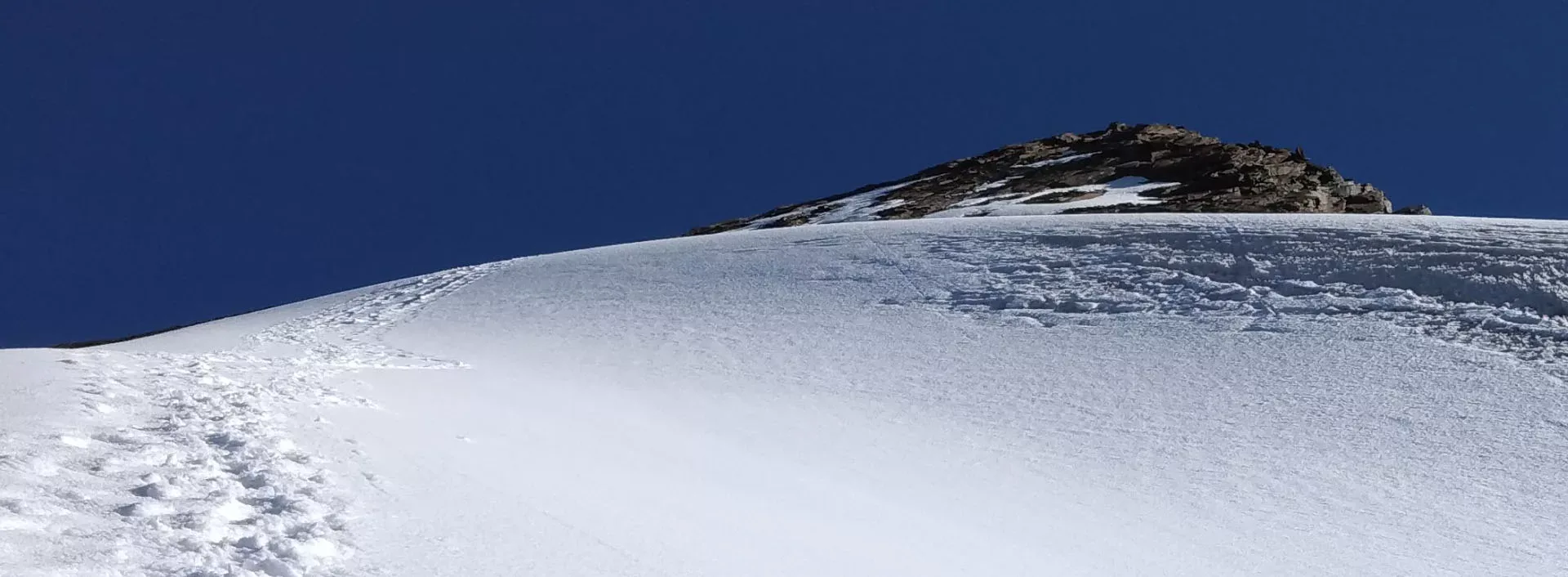
🏔 Summit Friendship Peak
Start at 1 AM. Roped walking on glacier. The final summit ridge is narrow and spectacular. Technical: Crampon use on 40-degree incline. Safety: Return to camp by 11 AM due to snow softening.
Key Landmarks
Staying At
The moraine camp is left behind for a continuous, high-angle snow and ice environment. The summit ridge lies between the Solang Valley and the Beas Kund glacier basin.
Field Notes
KEY ACTIONRoped Travel
Requires roped glacier travel.
KEY ACTIONStart Early
Start before sunrise to ensure snow bridges remain solid.
KEY ACTIONIce Gear
Crampons and ice axe proficiency required to safely navigate steep, icy inclines.
Use Trekking Poles
Trekking poles are highly recommended to save your knees on the descent.
INFOSlower Progress
Progress will be significantly slower and more taxing on your ankles than trail distance suggests.
Camp Alt
10,200 ft
Day Gain
-3,000 ft
Descend to Bakarthach
A rapid altitude loss descending the steep scree trails from Lady Leg. The steep route requires intense concentration before finally reaching the safety and oxygen-rich environment of Bakarthach.
Key Landmarks
Staying At
The barren alpine ridge descends back into the vegetated shepherd meadows of Bakarthach.
Field Notes
Use Trekking Poles
Trekking poles are highly recommended to save your knees on the descent.
INFOSlower Progress
Progress will be significantly slower and more taxing on your ankles than trail distance suggests.
Camp Alt
6,700 ft
Day Gain
-3,500 ft
Trek to Dhundi & Drive to Manali
Trek concludes. Hot springs in Vashisht recommended for leg recovery.
Key Landmarks
The alpine meadows transition back into dense birch forests before re-entering the urban environment of Manali.
Expedition Extensions & Add-ons
Beas Kund Exploration
+1 DayShort detour to the sacred glacial source lake before heading to Lady Leg.
Camp-by-Camp Details
Bakarthach Base Camp
Base Camp
Water
Stream
Wind
Low
Night Temp
0°C
Lady Leg ABC
High Camp
Water
Stream/Snow melt
Wind
Moderate
Night Temp
-5°C
High Camp
High Camp
Water
Snow melt
Wind
High
Night Temp
-10°C
Plan Your Expedition:
Ready to book? Compare verified operators for Friendship Peak Expedition — transparent pricing, no paid rankings.
Still deciding?
Compare routes side-by-side to find the perfect match for your fitness, dates, and budget.
Day by day, camp by camp. Send this to your group so everyone's on the same page.
Step 4: Safety & Framework
You understand the route.
Now understand the hazards, physiology, and Go/No-Go decision framework.
View Safety Framework