
Explore
Intelligence
Difficulty & Readiness Guide
Is Surya Top Trek Difficult? — Fitness & Altitude Guide
Moderate. It is a noticeable step up from the easy Dayara Bugyal trek. The push to the 12,950 ft summit requires good cardiovascular fitness and balance on rocky terrain.
The Question
Can I do this trek?
Preparation Required
Intermediate
Prior Experience
Recommended: 1-2 easy Himalayan treks or regular hiking experience.
Expert Verdict
Highly technical trek requiring physical and mental preparation.
Surya Top Trek
Himalayan Placement · Index 32Route Knowledge
Why is it difficult?
Exertion Index
Primary Challenge
Route Identity
Sustained multi-day trek requiring high cumulative endurance across consecutive days across a trek featuring loose moraine.
Primary Drivers
- Maximum sleeping altitude of 11,000 ft
- Grueling summit push with 1,950 ft of elevation gain
- 3 consecutive high-output trekking days
View Full Route Analysis
Physiological Demand
Challenging daily distances and steady climbs. Good cardiovascular fitness is required.
Multi-day camping requiring mental toughness to handle weather and fatigue debt.
Below the major effects of altitude sickness. Air remains relatively dense.
Well-defined, stable trails with no technical maneuvers required.
Rolling or gradual terrain with minimal harsh impact on joints.
Terrain Breakdown
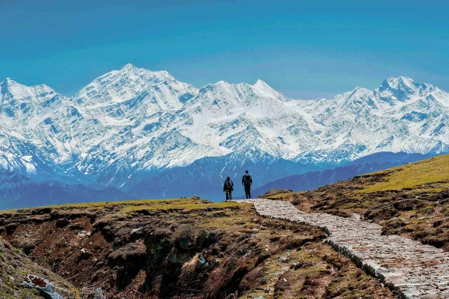
The trail transitions perfectly from steep, root-covered forest floors to vast, rolling alpine grass, and finally to a sharp, rocky ridge for the summit.
Summit Day Notes
The climb to Surya Top is the crux. It is steep, exposed to the wind, and at 12,950 ft, the air is thin enough to cause shortness of breath.
The Descent
The descents are spread out over two days (Day 5 and Day 6), making it much easier on the knees compared to treks that drop 5,000 ft in a single day.
Altitude Profile
Excellent acclimatization profile. Sleeping at 9,500 ft and 11,000 ft before attempting the 12,950 ft summit is the perfect textbook progression.
Run AMS Risk Audit →Trail Performance Data
Max Gradient
30%
Hydration
0.7L per km recommended
Loose Surface Sections
- •The final 500 ft push to Surya Top is over loose, rocky scree.
Personal Readiness
Am I ready?
What this route demands
People who feel comfortable on this route can usually:
Who Can Do This Trek?
Min Age
12+
Max Age
55
Western Toilets at Base
Yes
Solo Female Travelers
Very safe when trekking with an organized group. Do not trek solo past Dayara due to unmarked trails.
Hazard Profile
What goes wrong?
Common Mistakes on Surya Top Trek
Most injuries and failures on this trail can be avoided by making smarter decisions early on.
Assuming it is as easy as Dayara Bugyal. The extra 2,000 ft climb to Surya Top changes the trek from 'Easy' to a solid 'Moderate'.
Underestimating the cold at Siyari Bugyal. The campsite is highly exposed to the wind coming off the glacier.
Not carrying enough water on summit day. The ridge is completely dry.
Safety & Medical Risks
Key Risks
Slipping on the steep, dry ridge while descending from Surya Top
Getting lost in the massive bugyals during a sudden fog whiteout
Minor altitude sickness on summit day
AMS (Altitude Sickness)
Low risk, provided you don't rush. The itinerary is perfectly paced to allow your body to adapt before hitting 12,950 ft.
Evacuation Route
Ground evacuation is reliable. Mules can easily traverse the bugyals and forest trails, bringing a patient down to Raithal in 5-7 hours.
Solo Trekking
Not recommended. While the trail to Dayara is obvious, the ridge lines to Siyari and Surya Top are unmarked and confusing.
Common Trail Ailments
🏥 Nearest ICU: Dehradun
Tactical Emergency Hub
> Mule evacuation down the wide bugyal and forest trails is the standard and highly efficient procedure.
Auditability
How is this calculated?
Understand This Route Further
Before attempting this route:
Still deciding?
Compare routes side-by-side to find the perfect match for your fitness, dates, and budget.
Still think it's doable? Share this with your trek mate and see if they agree.
Step 2: Seasonal Safety
You know how demanding this route is.
Now find the safest and most reliable season to attempt it.
Check Best Time to Go