
Explore
Intelligence
Compare operators for
Surya Top Trek
Compare operators for Surya Top Trek
Interested in this trek?
We are currently vetting local partners for Surya Top Trek to ensure the highest safety standards. Be the first to know when it's open for booking.
Are you a local operator?
Join our platform to list your verified packages for Surya Top Trek and reach thousands of trekkers directly.
Found the right operator? Share this list with whoever's coming with you.
Better Prep.
Safer Expeditions.
Free professional-grade tools to audit your altitude safety and generate personalized gear checklists.
About Surya Top Trek
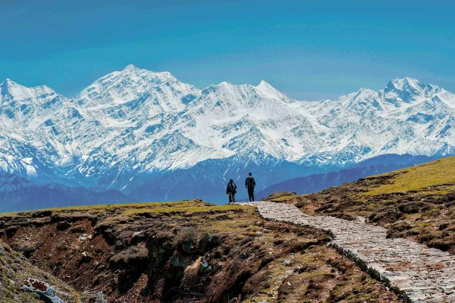
The Surya Top Trek extends beyond the famous Dayara Bugyal to one of the finest panoramic viewpoints in Uttarkashi. Combining expansive alpine meadows, forest trails, and high ridgelines, it rewards trekkers with uninterrupted views of the Gangotri and Bandarpoonch mountain ranges.
Trek Highlights
Surya Top Summit
Standing on a rocky ridge at 12,950 ft, face-to-face with the towering snow-capped peaks of Bandarpoonch and Kala Nag.
Siyari Bugyal
A vast, rolling alpine meadow far removed from the commercial crowds, offering incredible sunrise views.
Ancient Oak Forests
The dense, moss-draped forest trails leading out of Raithal and into Chilapada.
Common Questions
How is this different from the standard Dayara Bugyal trek?
Is the summit climb difficult?
Will I have mobile network?
Is it safe to do in the monsoon?
Are there water sources on the trail?
Can beginners do this?
Are there bears in the forest?
Can I rent gear?
How is this different from the standard Dayara Bugyal trek?
Is the summit climb difficult?
Will I have mobile network?
Is it safe to do in the monsoon?
Are there water sources on the trail?
Can beginners do this?
Are there bears in the forest?
Can I rent gear?
Are you a local operator?
Join our platform to list your verified packages for this trek.
Planning Surya Top Trek?
Get route conditions, operator updates, and season windows before booking.
Don't miss out! Follow us for route updates@mountroutes|LinkedIn
No spam. Only useful trek updates.
Explore Collections