
Explore
Intelligence
Detailed Route
Sundardhunga Glacier Trek Itinerary — Day by Day Route & Camps
A 7-day immersive expedition traversing diverse Himalayan landscapes and alpine altitudes.
Standard RouteThis is the standard mountain pacing for this trek. Specific operators may add an acclimatization day or alter the starting point. Check individual operator schedules for their exact logistics.
Duration
7 Days
Total Distance
52 KM
Max Altitude
14,600 FT
Trek Type
linear
Permits Required Before You Go
Permit Cost
Where to Get
Base Checkpost Office
Documents
Aadhar/Passport Copy, 2 Passport Photos, Medical Certificate, Disclaimer Form
Foreign Nationals
Yes, Inner Line Permit is mandatory; must be booked via a registered local travel agency with a group of at least 2.
Foreigner Process
ILP may be required.
Nearest Embassy Hub
New Delhi
Day by Day Breakdown
Camp Alt
7,117 ft
Day Gain
+417 ft
Reach Khati Village via Dhakuri Pass
Standard Pindari approach. Dhakuri Pass (9,100 ft) has excellent oak forest and first Himalayan views (Nanda Devi range). Descend to Khati — the Pindari/Kafni/Sundardhunga hub village. Excellent homestays. Arrange Sundardhunga-specific local guide at Khati village today.
Key Landmarks
Staying At
The route crosses a forested ridge before dropping into a central valley hub.
Camp Alt
10,200 ft
Day Gain
+3,083 ft
Reach Sunderdhunga Valley Entry Camp
At the trail fork past Khati, take the Sundardhunga branch (northwest facing valley). The trail climbs steeply through dense rhododendron and bamboo forest before emerging into the lower valley. Camp by the Sunar stream. Night sounds of the glacial river amplified in the narrow valley.
Key Landmarks
Staying At
The trail follows the mountain river corridor through a narrow, forested gorge, moving past traditional settlements into increasingly dense dense forested valleys.
Field Notes
KEY ACTIONRiver Crossings
Plan to cross early in the day before snowmelt swells the water levels. Unclip backpack waist belts before crossing.
Camp Alt
12,400 ft
Day Gain
+2,200 ft
Reach Moraine Edge Camp
The valley narrows dramatically on Day 3 with impressive waterfalls on the north wall. The transition from vegetated valley floor to open moraine begins around 11,500 ft. First views of the peak amphitheatre appear from the moraine ridge. Camp with good views of the glacier approach.
Key Landmarks
Staying At
Tree line disappears as the valley broadens into a spectacular high-altitude alpine meadow basin, replacing the dense forests with expansive grazing pastures.
Field Notes
Use Trekking Poles
Trekking poles are highly recommended to save your knees on the descent.
INFOSlower Progress
Progress will be significantly slower and more taxing on your ankles than trail distance suggests.
Camp Alt
14,200 ft
Day Gain
+1,800 ft
Today's Objective
🧊 Reach Sukhram Glacier Base Camp
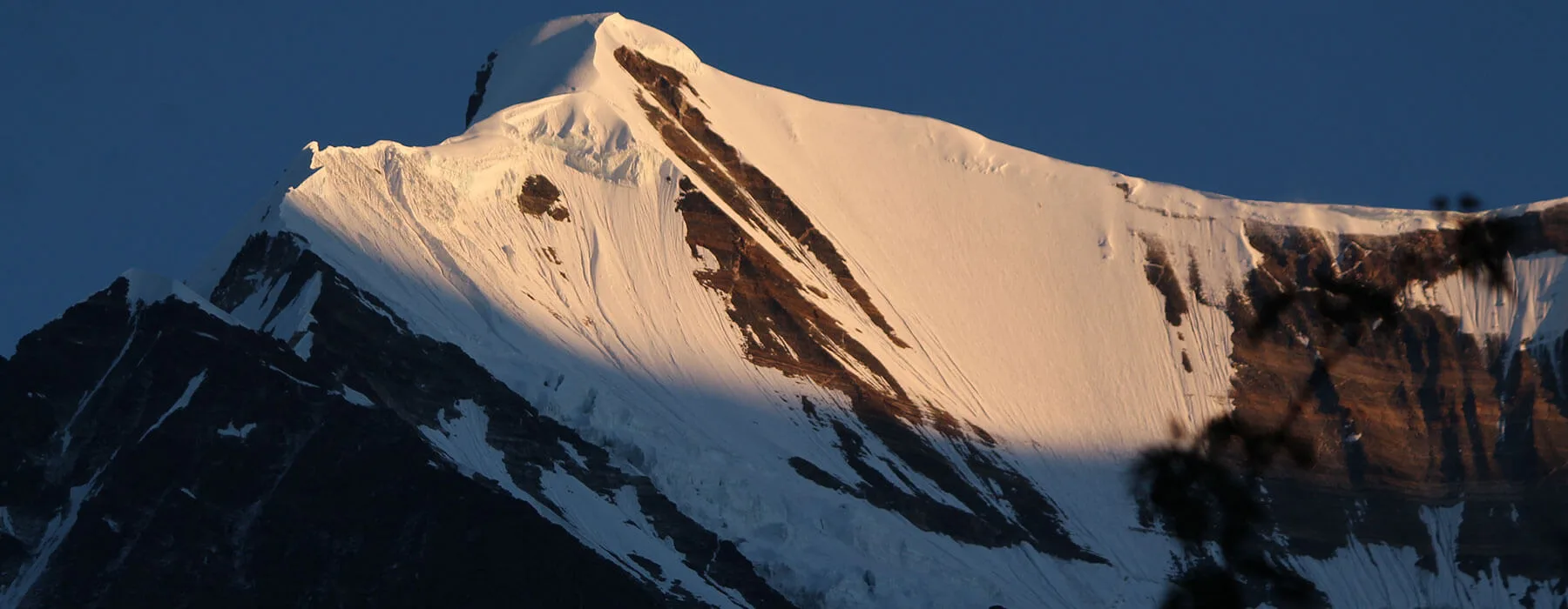
The classic moraine boulder-field approach. Navigation requires the guide's knowledge of the stable-rock walking line (moraine boulders shift — some paths look obvious but are unstable). The base camp platform reveal is dramatic — the full Mrigthuni (6,855m) – Tharkot (6,099m) – Devtoli (6,788m) amphitheatre opens simultaneously. Set up camp early for afternoon photography.
Key Landmarks
Staying At
The route navigates a moraine basin surrounded by glaciated mountain walls.
Field Notes
Use Trekking Poles
Trekking poles are highly recommended to save your knees on the descent.
INFOSlower Progress
Progress will be significantly slower and more taxing on your ankles than trail distance suggests.
Camp Alt
14,200 ft
Day Gain
0 ft
Today's Objective
☕ Acclimatization & Recovery
Rest and exploration day at base camp. Dawn (5am): photography of Mrigthuni catching first light above the glacier. Morning: walk to glacier terminus (careful on moraine approach to ice edge). Afternoon: climb the lateral moraine to 14,600 ft viewpoint for a higher angle on the amphitheatre. Evening: the last light on the peaks above the glacier in October is extraordinary.
Key Landmarks
Staying At
The expedition remains stationed within the high-altitude ablation zone, adjusting to the stark environment where exposed scree and ice dominate the glaciated upper watershed.
Field Notes
Use Trekking Poles
Trekking poles are highly recommended to save your knees on the descent.
INFOSlower Progress
Progress will be significantly slower and more taxing on your ankles than trail distance suggests.
Camp Alt
10,200 ft
Day Gain
-4,000 ft
Return to Lower Valley Camp
Full 4,000 ft descent in one long day. The moraine-to-forest transition (arriving back in the dense rhododendron after 3 days on the open glacier) is a striking sensory contrast. Camp at the same lower valley spot as Day 2 — the forest sounds and smell are grounding after the exposure of the glacier.
Key Landmarks
Staying At
The glacial basin descends sharply back into the dense rhododendron forest.
Field Notes
Use Trekking Poles
Trekking poles are highly recommended to save your knees on the descent.
INFOSlower Progress
Progress will be significantly slower and more taxing on your ankles than trail distance suggests.
Camp Alt
3,000 ft
Day Gain
-7,200 ft
Trek to Khati & Drive to Bageshwar
Return to Khati by midday. Option: take the Dhakuri Pass return route to Loharkhet (reverse of Day 1). Or arrange vehicle pickup at Khati if road conditions allow. Drive to Bageshwar for onward connection to Kathgodam rail or Almora.
Key Landmarks
The dense forest gorge transitions back into the main valley settlement before joining the vehicle route.
Trek Extensions & Add-ons
Pindari Glacier Double-Circuit
+5 DaysAfter completing Sundardhunga (7 days), rest 1 day at Khati then do the full Pindari Glacier circuit (5 days: Khati → Phurkiya → Zero Point → return). Total 13-day Khati double-glacier expedition. The contrast between the two glaciers — Pindari (easier, wider, more accessible) and Sundardhunga (wilder, more remote) — gives a comprehensive Kumaon glacial experience.
Kafni Glacier Add-on
+3 DaysKhati is also the trailhead for Kafni Glacier (a third branch off the main valley). After Sundardhunga return, a 3-day Kafni extension is possible for those with energy. Kafni base camp at 13,900 ft has a different peak set (Nanda Kot, 6,861m dominant) creating a third very different glacial perspective from the same hub village.
Plan Your Trek:
Ready to book? Compare verified operators for Sundardhunga Glacier Trek — transparent pricing, no paid rankings.
Still deciding?
Compare routes side-by-side to find the perfect match for your fitness, dates, and budget.
Day by day, camp by camp. Send this to your group so everyone's on the same page.
Step 4: Cost & Logistics
You understand the route.
Now see what services, permits, and logistics actually cost.
View Cost Breakdown