Detailed Route
Rudranath Trek Itinerary — Day by Day Route & Camps
Standard RouteThis is the standard mountain pacing for this trek. Specific operators may add an acclimatization day or alter the starting point. Check individual operator schedules for their exact logistics.
Duration
5 Days
Total Distance
36 KM
Max Altitude
12,500 FT
Trek Type
circuit
Day by Day Breakdown
Drive: Rishikesh to Gopeshwar & Sagar Village
Pick up at 6:30 AM. Homestay stay in Sagar. Early dinner to prep for the 6,000ft climb tomorrow. Technical: A long drive through the Badrinath highway. The section between Karanprayag and Chamoli is subject to construction delays. Stay hydrated during the 4,000ft ascent to Sagar to prevent travel fatigue. Safety: Final reliable pharmacy and ATM are in Gopeshwar (5km before Sagar). Do not skip these; Sagar has zero facilities.
Key Landmarks
The Vertical Ascent: Sagar Village to Panar Bugyal
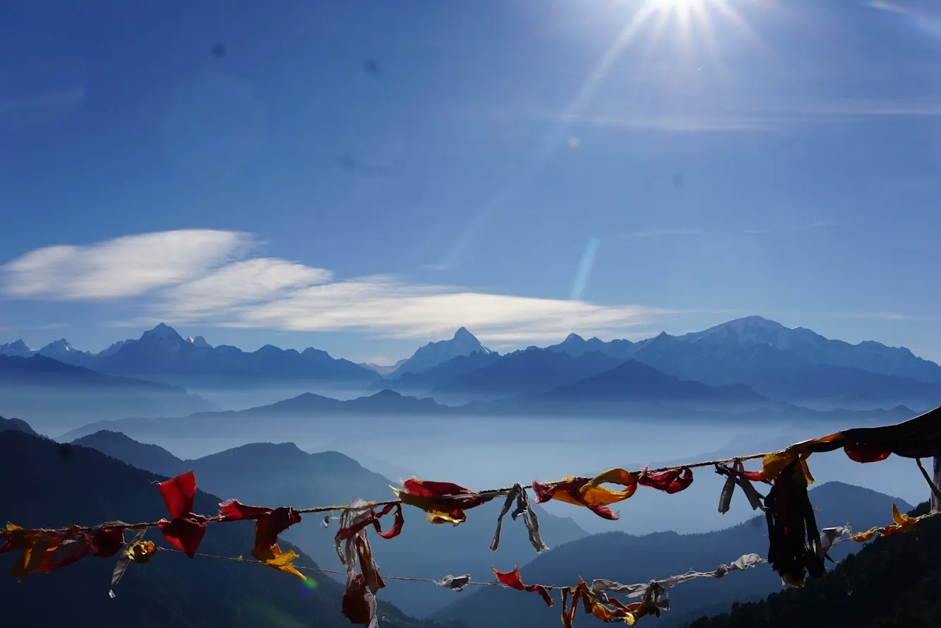
Panar Bugyal is a high ridge meadow. The views of Nanda Devi and Trishul are direct and massive. Technical: One of the most brutal 'Day 2' profiles in India. Consistent 30-40 degree incline on stone steps. High stress on calves and hamstrings. Terrain is forest floor transitioning to alpine grass. Safety: HYDRATION ALERT: There are only two major water points (Punar stream and Lunti). Carry 3L water. Watch for leg cramps; salt tablets are recommended.
Key Landmarks
Staying At
The Ridge & The Shrine: Panar - Pitradhar - Rudranath
Night stay in temple dharamshala or tents. Attend the evening Aarti (6:30 PM) for a profound spiritual experience. Technical: Trek involves multiple 'Ridge Crossings'. You climb to 12.5k at Pitradhar and then descend significantly. Air is thin. Boulder-strewn path near Pitradhar requires focus. Safety: Fog Mist: The Pitradhar ridge is famous for sudden 'Whiteouts'. Always stay within 5 meters of your guide. If fog is thick, wait at the ridge temple.
Key Landmarks
Staying At
Trek: Rudranath back to Panar / Lunti
Night stay at Lunti (lower meadow). Warmer and easier to sleep than Panar. Technical: Steep descent on stone blocks. High impact on knees. Technical 'Z-walking' is required. If it rains, the steps are extremely slippery due to moss. Safety: Knee Check: Use elastic knee-caps today. The 3,000ft drop to Lunti can cause high-impact soreness. Don't rush.
Key Landmarks
Staying At
The Final Drop: Lunti to Sagar & Drive to Rishikesh
Last 3 hours of descent to the road-head. Board your vehicle for the long drive back. Reach Rishikesh by 10-11 PM.
Trek Extensions & Add-ons
Kalpeshwar Link
+2 Daystraverse from Rudranath towards Dumak and Kalpeshwar to visit two Panch Kedar shrines in one spiritual loop.
Also on this trek
Ready to book? Compare verified operators for Rudranath Trek — transparent pricing, no paid rankings.
Still deciding?
Compare routes side-by-side to find the perfect match for your fitness, dates, and budget.
Day by day, camp by camp. Send this to your group so everyone's on the same page.
Love this itinerary?
Find operators who follow this exact route with verified acclimatization days.
Find matching operators