
Explore
Intelligence
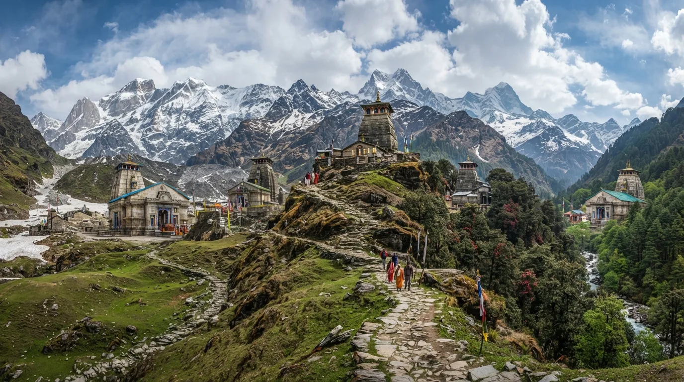
Detailed Route
Panch Kedar Trek Itinerary — Day by Day Route & Camps
A 12-14 day 'Walk & Road' circuit driving across the Garhwal valleys and trekking deep into the mountains to reach five ancient, sacred Shiva temples.
Standard RouteThis is the standard mountain pacing for this trek. Specific operators may add an acclimatization day or alter the starting point. Check individual operator schedules for their exact logistics.
Duration
11 Days
Total Distance
130.0 KM
Max Altitude
13,100 FT
Trek Type
circuit
Permits Required Before You Go
Permit Cost
Where to Get
Online (registrationandtouristcare.uk.gov.in) and Forest checkpoints at Chopta/Sagar.
Documents
Aadhar Card / Passport, Yatra Registration QR Code, Medical Fitness Certificate
Foreign Nationals
Foreigners must complete the Char Dham registration process online using their passport and visa details.
Foreigner Process
Must register on the Uttarakhand Tourist Care portal like everyone else. No Inner Line Permit required.
Nearest Embassy Hub
New Delhi
Day by Day Breakdown
Camp Alt
5,400 ft
Day Gain
+4,300 ft
Drive from Rishikesh to Guptkashi / Sonprayag
A long, exhausting mountain drive following the Alaknanda and Mandakini rivers. Expect traffic delays near Sonprayag during peak season.
Key Landmarks
Staying At
The journey follows the mountain river corridor, transitioning from the broader plains into the steep-sided topography approaching the high country.
Camp Alt
11,755 ft
Day Gain
+6,355 ft
Today's Objective
🏔 Summit Drive to Gaurikund and Trek to Kedarnath
Drive 5km from Sonprayag to Gaurikund. The trek is wide and paved but incredibly steep and crowded with pilgrims and mules. The altitude gain is rapid. Hydrate constantly.
Key Landmarks
Staying At
Crossing the high-altitude pass bridges two distinct watershed systems, shifting the expedition over the glaciated divide and down into a new river basin.
Camp Alt
6,500 ft
Day Gain
-5,255 ft
Descend to Gaurikund and Drive to Ransi
Attend morning aarti at Kedarnath, then aggressively descend 18km to Gaurikund. Immediately transfer to a vehicle for a drive to Ransi village, the base for Madhmaheshwar.
Key Landmarks
Staying At
The high alpine Kedarnath basin retraces the descent down the forested gorge to the vehicle network.
Camp Alt
8,500 ft
Day Gain
+2,000 ft
Trek: Ransi to Bantoli
A beautiful, lesser-known trail through dense forests. The path descends to Gaundar before climbing steeply up to Bantoli, situated at the confluence of two rivers.
Key Landmarks
Staying At
The Ransi settlement leads into a steep descent into the forested Bantoli gorge.
Field Notes
KEY ACTIONRiver Crossings
Plan to cross early in the day before snowmelt swells the water levels. Unclip backpack waist belts before crossing.
Camp Alt
11,450 ft
Day Gain
+2,950 ft
Today's Objective
🛕 Reach Madhmaheshwar Temple
A steep, continuous ascent. The treeline breaks near Nanu, opening up to spectacular alpine meadows. Visit the ancient temple in the evening. (Optional 2km hike to Buda Madhmaheshwar for sunset views).
Key Landmarks
Staying At
The Bantoli gorge gives way to a rigorous forested ascent toward Madhmaheshwar.
Camp Alt
8,790 ft
Day Gain
-2,660 ft
Descend to Ransi and Drive to Sagar
A knee-destroying 20km descent all the way back to Ransi. Followed by a scenic evening drive through dense rhododendron forests to the 'Mini Switzerland' of India, Chopta.
Key Landmarks
Staying At
The Madhmaheshwar ridge loses altitude quickly back through the forest to the valley roadhead.
Camp Alt
6,500 ft
Day Gain
-2,290 ft
Today's Objective
🏔 Summit Drive to Sagar and Trek toward Panar Bugyal
Start at 4 AM for a sunrise hike to Chandrashila peak via Tungnath (the highest Shiva temple in the world). Descend back to Chopta by noon and drive to Sagar village, the base for the toughest Kedar.
Key Landmarks
Staying At
Crossing the high-altitude pass bridges two distinct watershed systems, shifting the expedition over the glaciated divide and down into a new river basin.
Camp Alt
11,500 ft
Day Gain
+5,000 ft
Trek: Sagar to Panar Bugyal
The start of the hardest segment. A relentless, unforgiving uphill climb through thick, leech-infested forests. Breaks the treeline at Panar to reveal vast, rolling alpine meadows.
Key Landmarks
Staying At
Tree line disappears as the valley broadens into a spectacular high-altitude alpine meadow basin, replacing the dense forests with expansive grazing pastures.
Camp Alt
11,800 ft
Day Gain
+300 ft
Today's Objective
🛕 Reach Rudranath Temple
A dramatic ridge walk. The trail climbs to the highest point at Pitradhar (13,100 ft) before a sharp, rocky descent into the gorge where the mystical Rudranath temple is carved into a cave. Terrain is exposed and windy.
Key Landmarks
Staying At
The route navigates the Panar Bugyal meadow and connecting rocky ridges to Rudranath.
Camp Alt
6,500 ft
Day Gain
-5,300 ft
Descend from Rudranath to Sagar Roadhead
A 20km downhill trek retracing your steps to Sagar. The descent wrecks the quadriceps. Once at the road, drive to Helang and take a rough dirt road up to the lush Urgam Valley.
Key Landmarks
Staying At
The high alpine Rudranath ridge descends rapidly back through the forest to the valley roadhead.
Camp Alt
1,100 ft
Day Gain
-5,400 ft
Drive to Roadhead and Continue to Haridwar
A gentle, 2km celebratory walk through apple orchards to Kalpeshwar, the final Kedar and the only one open year-round. After offering prayers, board the vehicle for the long, winding drive back to Rishikesh, concluding the epic journey.
Key Landmarks
The high alpine meadows narrow into forested river terraces as tree line vegetation reappears in the lower mountain river corridor.
Trek Extensions & Add-ons
Badrinath Visit
+2 DaysAfter Kalpeshwar, many pilgrims drive to Badrinath to complete the spiritual journey, making it a holistic Char Dham / Panch Kedar hybrid.
Plan Your Trek:
Ready to book? Compare verified operators for Panch Kedar Trek — transparent pricing, no paid rankings.
Still deciding?
Compare routes side-by-side to find the perfect match for your fitness, dates, and budget.
Day by day, camp by camp. Send this to your group so everyone's on the same page.
Step 4: Cost & Logistics
You understand the route.
Now see what services, permits, and logistics actually cost.
View Cost Breakdown