Detailed Route
Mud to Khamengar Glacier Trek Itinerary — Day by Day Route & Camps
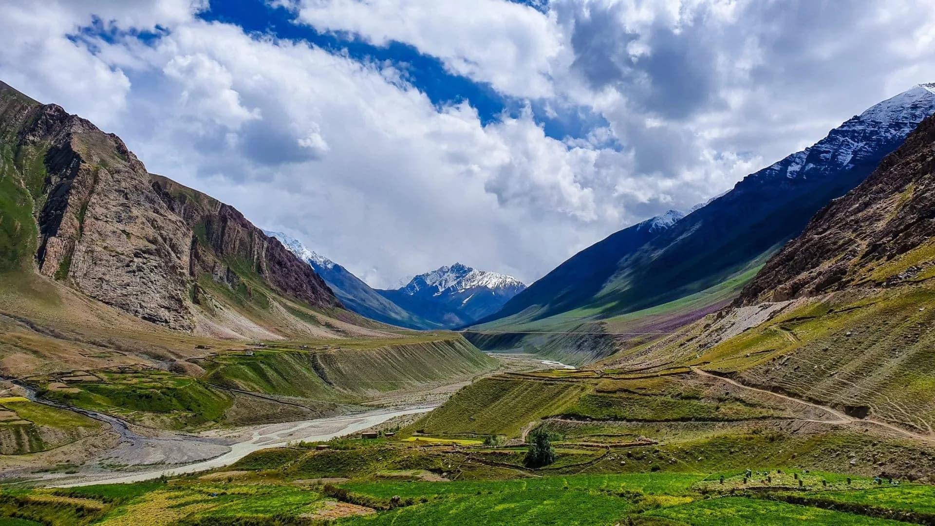
A 5-day immersive expedition traversing diverse Himalayan landscapes and alpine altitudes.
Standard RouteThis is the standard mountain pacing for this trek. Specific operators may add an acclimatization day or alter the starting point. Check individual operator schedules for their exact logistics.
Duration
5 Days
Total Distance
50 KM
Max Altitude
17,500 FT
Trek Type
linear
Permits Required Before You Go
Permit Cost
Where to Get
PVNP DFO Office, Kaza
Documents
Aadhar/Passport, PVNP application form
Foreign Nationals
Foreign nationals may require Inner Line Permit for Spiti. Check current regulations.
Foreigner Process
Inner Line Permit for Spiti + PVNP permit. Both from Shimla/Kaza authorities.
Nearest Embassy Hub
New Delhi
Day by Day Breakdown
Drive to Mud Village
Drive Kaza to Mud (1 hr). Acclimatize at Mud (13,800 ft). Collect PVNP permits. Brief with local PVNP guide.
Key Landmarks
Staying At
Reach Base Camp
Long walk deep into the Pin valley following the river. Extraordinary wildlife display with Blue Sheep herds. Camp at moraine base.
Key Landmarks
Staying At
Reach High Camp
Shorter day but significant altitude gain. Glacier visible in detail. Camp on stable moraine shelf.
Key Landmarks
Staying At
Visit Khamengar Glacier Snout & Return
4am start on crampons. Team rope on glacier. Reach the glacier snout and document the environment. Return to high camp by early afternoon — monsoon afternoon storms possible at this altitude.
Key Landmarks
Staying At
Return to Mud Village
Long return day combining both approach sections. Start by 7am to arrive Mud before dark.
Key Landmarks
Staying At
Trek Extensions & Add-ons
Kang La Combination
+8 DaysCombine Khamengar glacier approach with Kang La crossing for the definitive Pin valley expedition — 13+ days from Kaza to Lahaul.
Also on this trek
Ready to book? Compare verified operators for Mud to Khamengar Glacier Trek — transparent pricing, no paid rankings.
Still deciding?
Compare routes side-by-side to find the perfect match for your fitness, dates, and budget.
Day by day, camp by camp. Send this to your group so everyone's on the same page.
Love this itinerary?
Find operators who follow this exact route with verified acclimatization days.
Find matching operators