Difficulty & Readiness Guide
Is Kedarkantha Trek Difficult? — Fitness & Altitude Guide
Run 5km in under 35 minutes consistently.
Preparation Required
Advanced
Prior Experience
Required: At least 2-3 moderate Himalayan treks (above 13,000ft).
Score Engine v3
Why This Score?
Stamina
52/100
Based on average nightly altitude gain, highest campsite, and daily distance. Reflects how hard the average day feels.
Spike Day
35/100
Based on max altitude reached, summit day elevation gain, and summit day distance. Reflects the hardest single day.
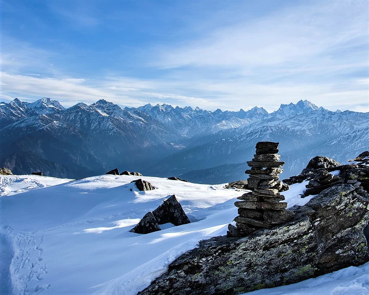
Why Kedarkantha Trek Feels Difficult
A demanding expedition dominated by extreme joint & muscle impact.
Physiological Demand
Steep, punishing ascents and descents that will heavily tax your knees, ankles, and overall joint stability.
Significant time spent above 12,000ft. Expect shortness of breath and slower pacing.
Rough, uneven trails with occasional scrambling or minor exposure.
Multi-day camping requiring mental toughness to handle weather and fatigue debt.
Comfortable pacing with moderate daily distances.
Crux Section
Day 4 — Oxygen Peak
Highest exposure point at 12,500ft.
Kedarkantha Trek/ 55
Reality check
Key point
The final 200m to the summit is the only genuinely steep section on the entire trek — loose scree under snow, poles essential. Everything below base camp is straightforward forest trail. Do not let the moderate label make you complacent about summit day specifically.
Caution
Summit day is a 3:30 AM start with 610m climb followed by descent to Hargaon — 10 to 12 km total movement. It is the longest and hardest day by a significant margin. Trekkers who underestimate it are the ones who turn back 100m from the top.
Tip
No water source exists above base camp. Carry 2 litres minimum from camp on summit day — more in summer months. Dehydration at 12,500ft accelerates fatigue faster than the climb itself.
Terrain Breakdown
Pine and oak forest trails for the first two days — well-defined paths with moderate gradient. Open snow slopes from base camp onward. Final 200m to the summit is steep loose scree under snow — the only genuinely challenging section of the entire trek.
Summit Day Notes
3:30 AM start from base camp. 610m altitude gain over 4km to summit at 12,500ft. No technical climbing required but sustained effort in cold. Descent to Hargaon the same day — total movement of 10–12km makes it the most demanding day.
The Descent
Summit day descent is steep on loose snow in the morning, transitioning to rocky trail by afternoon. Trekking poles essential going down. Day 5 descent to Sankri is long at 7–8km but gradient is gentle.
Preparation
Run 5km in under 35 minutes consistently. Stair climbing with a loaded backpack is the most effective specific preparation. Squats and single-leg exercises build descent strength for knees.
Altitude Profile
No aggressive altitude jump on any single day. Gradual gain over 3 days — 6400ft to 8900ft to 11250ft to 12500ft. AMS relatively rare on Kedarkantha because of this profile.
Run AMS Risk Audit →Route Stress Forecast
Highest exposure point at 12,500ft.
Deep 3,600ft descent will test joint stability.
Day 2 requires the highest sustained output.
*Forecast derived from route geometry and altitude profile. External variables (weather/group) remain the final authority.
Trail Performance Data
Max Gradient
25%
Hydration
0.3L per km recommended
Loose Surface Sections
- •Descent from Hargaon to Sankri
Common Mistakes on Kedarkantha Trek
Most injuries and failures on this trail can be avoided by making smarter decisions early on.
Underestimating summit day — 3:30 AM start combined with same-day descent to Hargaon is physically demanding
Accepting worn-out rental boots from Sankri in peak season — inspect before accepting
Not carrying enough water on summit day — no water source above base camp
Skipping trekking poles — they are essential on summit day descent
Safety & Medical Risks
Key Risks
AMS above 10,000ft
Whiteouts on summit day in January–February
Avalanche risk on upper slopes during heavy snowfall
Hypothermia if gear is inadequate on summit night
AMS (Altitude Sickness)
Gradual altitude gain means AMS is less common here. Watch for persistent headache, nausea, or loss of appetite on Day 3. Do not ascend if symptoms present.
Evacuation Route
Descend immediately to Sankri — route is well-marked. Helicopter landing possible near Sankri in clear weather.
Solo Trekking
Technically permitted but not advisable in winter due to whiteout risk above base camp. Solo trekkers accepted by most operators at shared batch pricing.
Common Trail Ailments
🏥 Nearest ICU: Max Super Speciality Hospital, Dehradun
Tactical Emergency Hub
> Sankri serves as the critical roadhead for medical evacuation to Dehradun.
Who Can Do This Trek?
Min Age
10+
Max Age
65
Western Toilets at Base
Yes
Solo Female Travelers
Very high; bustling trail with clear marking and active local operators.
Expert Verdict
Highly technical trek requiring physical and mental preparation.
Ready to book? Compare verified operators for Kedarkantha Trek — transparent pricing, no paid rankings.
Want to know which operators carry certified guides and medical support? See operator safety ratings for Kedarkantha Trek
Also on this trek
Still deciding?
Compare routes side-by-side to find the perfect match for your fitness, dates, and budget.
Still think it's doable? Share this with your trek mate and see if they agree.
Fit for the challenge?
For challenging treks, safety is paramount. Find operators prioritizing medical support and guide expertise.
Compare operator safety scores