
Explore
Intelligence
Detailed Route
Jalsu Pass Trek Itinerary — Day by Day Route & Camps
A 4-to-5 day journey starting from the Kangra valley, crossing the 11,500 ft pass, and descending into the deep, culturally rich Chamba valley.
Standard RouteThis is the standard mountain pacing for this trek. Specific operators may add an acclimatization day or alter the starting point. Check individual operator schedules for their exact logistics.
Duration
5 Days
Total Distance
45.0 KM
Max Altitude
11,500 FT
Trek Type
linear
Day by Day Breakdown
Camp Alt
7,500 ft
Day Gain
+3,000 ft
Baijnath to Utrala and trek to Parai
After a short drive from Baijnath to the Utrala hydro project (the roadhead), the trek begins. The trail steadily ascends through dense pine and oak forests, crisscrossing small streams. Parai is a beautiful, expansive meadow used by shepherds.
Key Landmarks
Staying At
The route moves through forested zones. The environment transitions into open alpine meadows. The route follows the river valley.
Camp Alt
10,500 ft
Day Gain
+3,000 ft
Parai to Yara Got
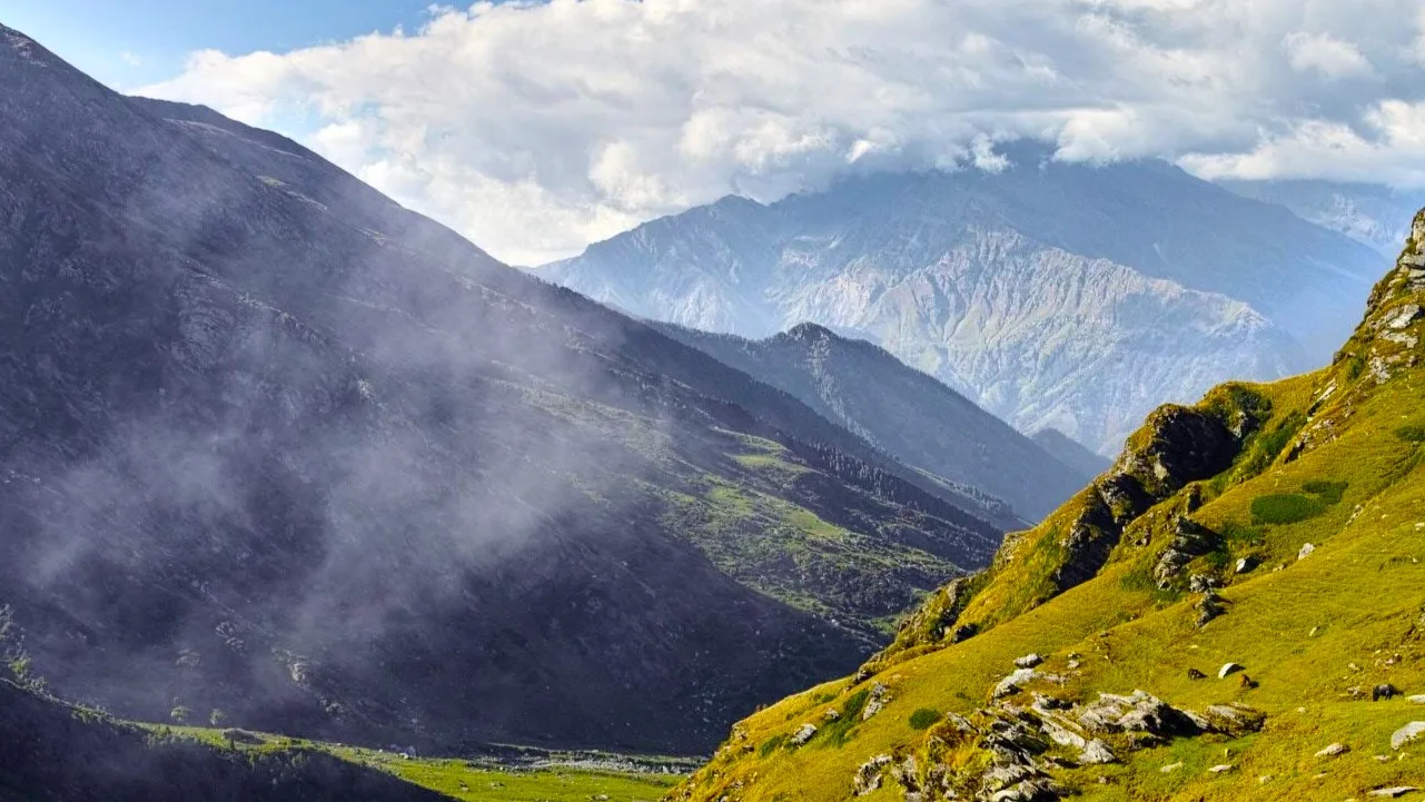
The trail becomes steeper as you leave the dense tree line and enter the realm of rhododendron and alpine shrubs. You will likely encounter massive flocks of sheep and goats. Yara Got is a stunning, high-altitude pasture sitting directly below the pass.
Key Landmarks
Staying At
The trail follows the mountain river corridor through a narrow, forested gorge, moving past traditional settlements into increasingly dense dense forested valleys.
Camp Alt
9,500 ft
Day Gain
-1,000 ft
Today's Objective
🏔 Cross Yara Got To Jalsu Pass
The climax of the trek. You begin a zigzag ascent to the saddle of Jalsu Pass. Upon reaching the top, the landscape shifts dramatically as the deep, forested valleys of Chamba and the snow-capped Pir Panjal range come into view. After soaking in the views, you descend steeply into the Chamba side to camp at Jalsu Got.
Key Landmarks
Staying At
The route moves through forested zones. The path breaches the mountain barrier crossing the watershed.
Field Notes
Use Trekking Poles
Trekking poles are highly recommended to save your knees on the descent.
INFOSlower Progress
Progress will be significantly slower and more taxing on your ankles than trail distance suggests.
Camp Alt
6,500 ft
Day Gain
-3,000 ft
Jalsu Got to Surai / Nayagran
A long, beautiful descent through the remote Chamba valley. You will pass through dense cedar and pine forests and several small, traditional Chamba villages like Surai. The trek concludes at the roadhead at Nayagran.
Key Landmarks
Staying At
The route moves through forested zones. The path breaches the mountain barrier crossing the watershed.
Camp Alt
1,100 ft
Day Gain
-5,400 ft
Drive Nayagran to Holi / Pathankot
Board a local bus or pre-arranged taxi from Nayagran/Holi for the long, winding drive through the Chamba district, eventually reaching the major railway hub of Pathankot.
Key Landmarks
The motorable road navigates deeper into the mountain river corridor, where the landscape transitions from lower foothills into the steep, dense forested valleys.
Trek Extensions & Add-ons
Bharmour and Manimahesh Lake
+3 DaysAfter descending into Chamba, travel to Bharmour and undertake the trek to the sacred Manimahesh Lake at the base of Mount Kailash.
Plan Your Trek:
Ready to book? Compare verified operators for Jalsu Pass Trek — transparent pricing, no paid rankings.
Still deciding?
Compare routes side-by-side to find the perfect match for your fitness, dates, and budget.
Day by day, camp by camp. Send this to your group so everyone's on the same page.
Step 4: Cost & Logistics
You understand the route.
Now see what services, permits, and logistics actually cost.
View Cost Breakdown