
Explore
Intelligence
Difficulty & Readiness Guide
Is Jalsu Pass Trek Difficult? — Fitness & Altitude Guide
A moderate, highly accessible crossover. The gradient is gradual, favoring lush green meadows over the technical rock climbing found on other Dhauladhar passes.
The Question
Can I do this trek?
Preparation Required
Intermediate
Prior Experience
Recommended: 1-2 easy Himalayan treks or regular hiking experience.
Expert Verdict
Highly technical trek requiring physical and mental preparation.
Jalsu Pass Trek
Himalayan Placement · Index 31Route Knowledge
Why is it difficult?
Exertion Index
Primary Challenge
Route Identity
Endurance-focused route with significant physical taxation across a pass-crossing route featuring loose moraine.
Primary Drivers
- Maximum sleeping altitude of 10,500 ft
- 4 consecutive high-output trekking days
- Peak daily distance of 14 km
View Full Route Analysis
Physiological Demand
Challenging daily distances and steady climbs. Good cardiovascular fitness is required.
Multi-day camping requiring mental toughness to handle weather and fatigue debt.
Below the major effects of altitude sickness. Air remains relatively dense.
Rolling or gradual terrain with minimal harsh impact on joints.
Terrain Breakdown
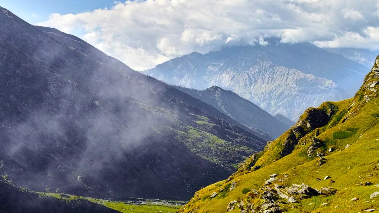
The trail is predominantly well-trodden dirt paths and grassy meadows (Gots). It avoids the sheer rock and boulder fields found on higher Dhauladhar passes.
Summit Day Notes
The ascent to the pass is a steady zigzag. The descent on the Chamba side is much steeper and requires careful footing.
The Descent
The descent into Chamba is long (over 14 km on the final day). It will test your stamina and knee joints.
Altitude Profile
A very safe altitude profile. The maximum height of 11,500 ft makes severe AMS highly unlikely, though mild headaches are possible at Yara Got.
Run AMS Risk Audit →Trail Performance Data
Max Gradient
25%
Hydration
0.5L per km recommended
Loose Surface Sections
- •The final zigzag approach to Jalsu Pass
- •The immediate descent from the pass into Chamba
Personal Readiness
Am I ready?
What this route demands
People who feel comfortable on this route can usually:
Who Can Do This Trek?
Min Age
12+
Max Age
60
Western Toilets at Base
Yes
Solo Female Travelers
The trail is culturally safe and frequented by shepherds, but trekking in an organized group is highly recommended due to the remoteness.
Hazard Profile
What goes wrong?
Common Mistakes on Jalsu Pass Trek
Most injuries and failures on this trail can be avoided by making smarter decisions early on.
Carrying too much weight; since it is a crossover, you cannot leave gear at a base camp.
Not carrying adequate rain gear; the Dhauladhars are infamous for sudden afternoon showers.
Underestimating the long drive out from Holi/Nayagran back to civilization.
Safety & Medical Risks
Key Risks
Slips and falls on the steep descent into Chamba during wet conditions
Sudden weather changes and thunderstorms common to the Dhauladhars
Exhaustion from the long distance of the crossover
AMS (Altitude Sickness)
Very low risk due to the pass elevation being only 11,500 ft, but hydration remains critical.
Evacuation Route
If an emergency occurs before the pass, evacuate back to Utrala/Baijnath. If after the pass, evacuate down to Nayagran/Holi. Mules are the primary extraction method.
Solo Trekking
Possible for experienced trekkers, but generally discouraged unless you are very familiar with Dhauladhar weather patterns. The trail is well-trodden by shepherds.
Common Trail Ailments
🏥 Nearest ICU: Pathankot / Kangra (Tanda Medical College, 3-4 hours from base)
Tactical Emergency Hub
> The shepherd communities are very helpful during emergencies and can provide mules for fast extraction.
Auditability
How is this calculated?
Understand This Route Further
Before attempting this route:
Still deciding?
Compare routes side-by-side to find the perfect match for your fitness, dates, and budget.
Still think it's doable? Share this with your trek mate and see if they agree.
Step 2: Seasonal Safety
You know how demanding this route is.
Now find the safest and most reliable season to attempt it.
Check Best Time to Go