
Explore
Intelligence
Detailed Route
Dharansi Pass Trek Itinerary — Day by Day Route & Camps
A grueling 6-day technical traverse from Lata village into the buffer zone of the Nanda Devi Biosphere Reserve.
Standard RouteThis is the standard mountain pacing for this trek. Specific operators may add an acclimatization day or alter the starting point. Check individual operator schedules for their exact logistics.
Duration
7 Days
Total Distance
84 KM
Max Altitude
16,800 FT
Trek Type
linear
Permits Required Before You Go
Permit Cost
Where to Get
Forest Department office at Govindghat (entry permit) and Ghangaria (inner zone permit). Both must be obtained BEFORE entering any restricted zone.
Documents
Aadhar card (Indian nationals), Passport (foreign nationals), Inner zone application form (available at Ghangaria FD office), Passport-sized photograph
Foreign Nationals
Foreign nationals pay approximately 4x the Indian national rate for the Valley of Flowers permit. Inner zone permit takes 3–7 work days to process for foreigners — apply in advance via DFO Chamoli office or through an authorized operator.
Foreigner Process
Foreigners require special permits from the Forest Department in Joshimath. Sometimes restricted.
Nearest Embassy Hub
New Delhi
Day by Day Breakdown
Camp Alt
6,150 ft
Day Gain
+5,050 ft
Drive to Joshimath
A long, scenic drive along the Alaknanda river into the Garhwal Himalayas. Overnight in Joshimath.
Staying At
The trail follows the mountain river corridor through a narrow, forested gorge, moving past traditional settlements into increasingly dense dense forested valleys.
Camp Alt
7,545 ft
Day Gain
+1,395 ft
Drive to Lata Roadhead & Trek to Lata Village
Short drive to the Lata roadhead followed by a brief but steep trek up to the heritage village of Lata. Perfect acclimatization.
Staying At
Crossing the high-altitude pass bridges two distinct watershed systems, shifting the expedition over the glaciated divide and down into a new river basin.
Camp Alt
12,500 ft
Day Gain
+4,955 ft
Reach Lata Kharak
A relentless, steep ascent through dense oak and pine forests, eventually opening up to the alpine meadows of Lata Kharak.
Staying At
Crossing the high-altitude pass bridges two distinct watershed systems, shifting the expedition over the glaciated divide and down into a new river basin.
Camp Alt
16,125 ft
Day Gain
+3,625 ft
Today's Objective
🏔 Cross Lata Kharak To Dharansi Pass Dharansi Pass
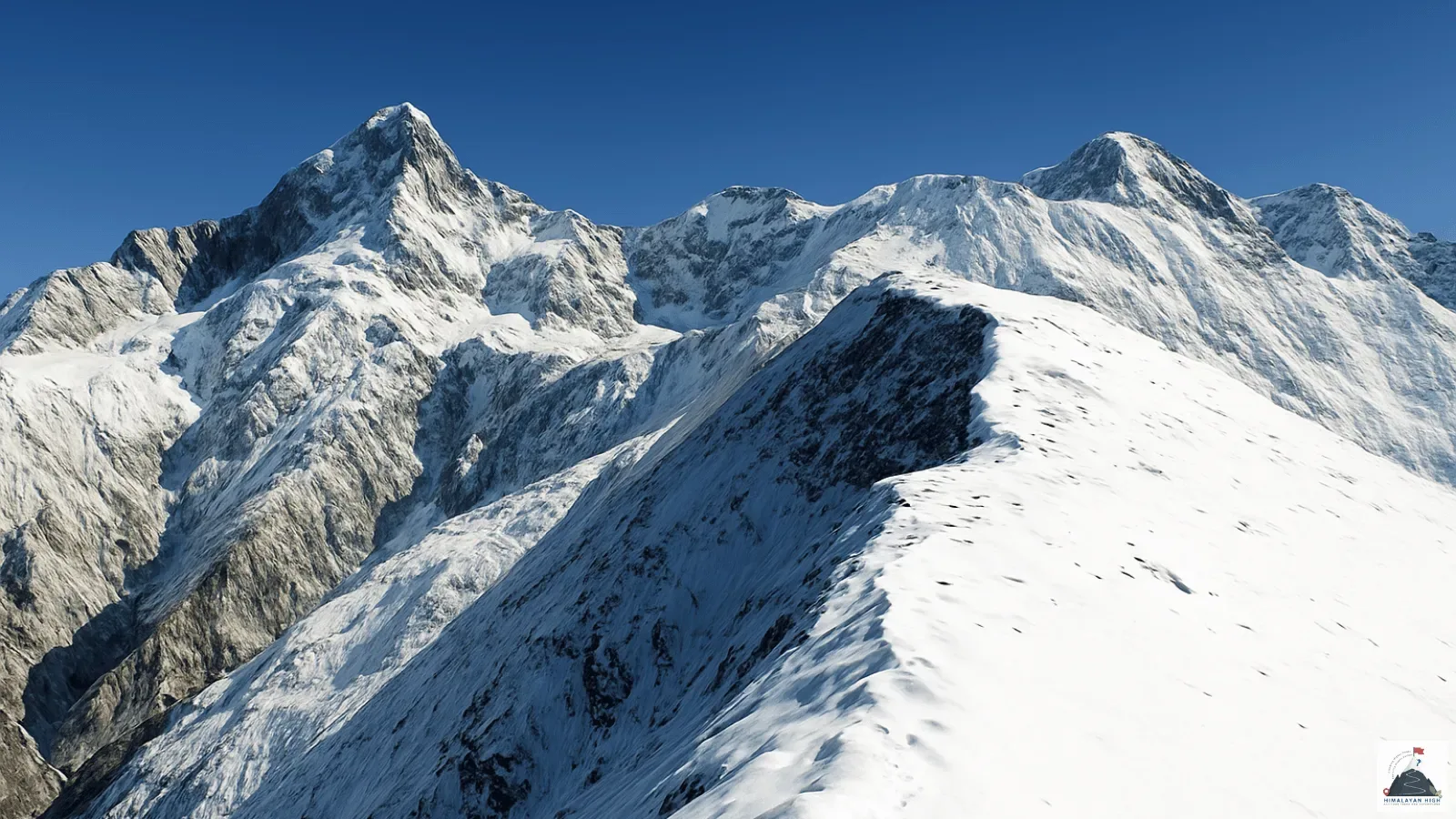
Trek along the exposed Jhandi Dhar ridge. The trail involves steep sections and potentially snow crossings to reach the pass.
Staying At
The Lata Kharak forest narrows into a rocky alpine ridge at Dharansi Pass.
Camp Alt
16,125 ft
Day Gain
0 ft
Explore Debrugheta & Return
Day excursion to the Debrugheta meadow, the threshold of the inner sanctuary, offering unparalleled views of Nanda Devi before returning.
Staying At
The barren ice and moraine of the upper basin transition quickly back into alpine scrub and alpine meadow basin as the route loses elevation.
Camp Alt
9,500 ft
Day Gain
-6,625 ft
Descend to Hitoli
A massive descent through the Jhandi Dhar ridge back into the tree line, camping at Hitoli amidst dense forests.
Staying At
The Dharansi alpine ridge loses altitude quickly back into the Hitoli forest.
Camp Alt
6,150 ft
Day Gain
-3,350 ft
Trek to Surai Thotha & Drive to Joshimath
Final descent to the roadhead at Surai Thotha or Tolma, followed by a drive back to Joshimath to conclude the trek.
Staying At
The high alpine meadows narrow into forested river terraces as tree line vegetation reappears in the lower mountain river corridor.
Trek Extensions & Add-ons
Valley of Flowers Extended Photography Camp
+2 DaysAdd 2 full days at the Valley of Flowers meadow before starting the Dharansi ascent — dawn and dusk photography sessions in August bloom, capturing the full wildflower diversity. This brings total trek to 9 days.
Badrinath Cultural Extension (Post-Trek)
+2 DaysOn exit at Govindghat (Day 7), drive 22 km upriver to Badrinath (10,250 ft) — one of the four Char Dham pilgrimage sites. 2 days at Badrinath temple, Mana village (India's last village), and optional Vasudhara Falls walk.
Satopanth Tal Expedition from Badrinath
+4 DaysFrom the Badrinath extension, push to Satopanth Tal (14,900 ft) — the sacred triangular lake above Badrinath, 2 days above the temple. Adds 4 days to the journey but completes the Badrinath inner sanctuary experience.
Plan Your Trek:
Ready to book? Compare verified operators for Dharansi Pass Trek — transparent pricing, no paid rankings.
Still deciding?
Compare routes side-by-side to find the perfect match for your fitness, dates, and budget.
Day by day, camp by camp. Send this to your group so everyone's on the same page.
Step 4: Cost & Logistics
You understand the route.
Now see what services, permits, and logistics actually cost.
View Cost Breakdown