Detailed Route
Darati Pass Trek Itinerary — Day by Day Route & Camps
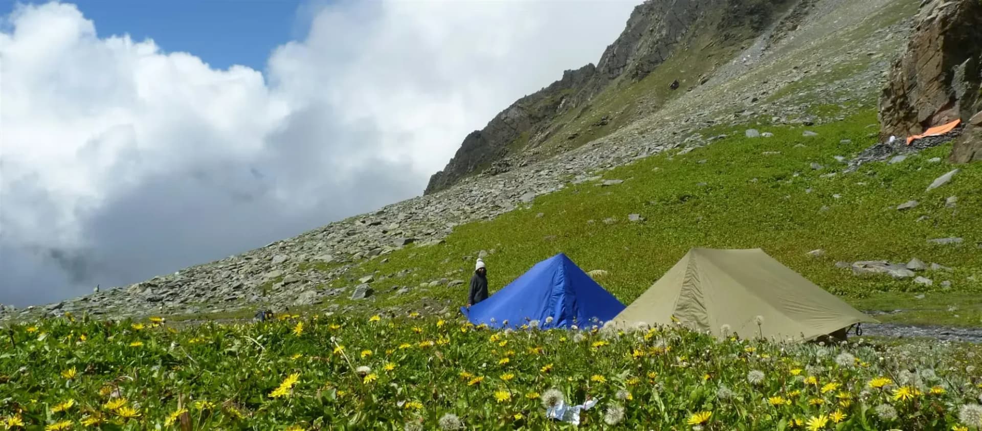
A meticulously structured 6-day journey commencing at Chamba and completing at Manali. The trail progresses naturally through diverse climate zones, offering proper acclimatization milestones, scenic ridge highlights, and beautiful, high-value campsite locations.
Standard RouteThis is the standard mountain pacing for this trek. Specific operators may add an acclimatization day or alter the starting point. Check individual operator schedules for their exact logistics.
Duration
6 Days
Total Distance
53 KM
Max Altitude
15,400 FT
Trek Type
linear
Permits Required Before You Go
Permit Cost
Where to Get
Tisa / Bhanudi
Documents
Aadhar/Passport
Foreign Nationals
A passport check is strictly enforced when moving into Lahaul/Pangi.
Foreigner Process
Police checkposts.
Nearest Embassy Hub
New Delhi
Day by Day Breakdown
Drive to Hadsar & Trek to Kugti Village
After navigating the winding roads to the Tisa block, disembark and push immediately into the steep, heavily forested flanks of the Pir Panjal. The path here is thick with undergrowth.
Key Landmarks
Staying At
Reach High Meadow
Ascend ruthlessly out of the trees onto the high alpine pastures. These are 60-degree grass slopes where footing is critical. Eventually settle near a seasonal Gaddi encampment.
Key Landmarks
Staying At
Reach Alyas Base Camp
A shorter but deeply tiring day navigating massive boulders and loose scree to reach the final staging ground immediately beneath the Darati headwall. The temperature drops dramatically here.
Key Landmarks
Staying At
Cross Darati Pass & Reach Pangi Base
Embark before dawn. Scramble up the final 1,900 feet of loose rock and snow. The summit offers a staggering view of the Pangi gorge. Descending the northern face requires kicking steps down steep, firm snowbanks into the arid Lahaul/Pangi transition zone.
Key Landmarks
Staying At
Reach Tindi
A knee-grinding descent walking off the high mountain shoulders down to the mighty Chenab river. Arrive at Tindi, deeply embedded in the Pangi valley.
Key Landmarks
Staying At
Trek to Rapé Roadhead & Drive to Keylong / Manali
Board waiting 4x4s. Drive eastwards out of the Pangi gorge, passing through Udaipur into Lahaul, and finally crossing beneath the Rohtang range to exit the Himalayas at Manali.
Key Landmarks
Trek Extensions & Add-ons
Udaipur & Miyar Valley
+2 DaysStop at Udaipur to visit the famous wooden Mrikula Devi temple before heading into the stunning Miyar Valley.
Also on this trek
Ready to book? Compare verified operators for Darati Pass Trek — transparent pricing, no paid rankings.
Still deciding?
Compare routes side-by-side to find the perfect match for your fitness, dates, and budget.
Day by day, camp by camp. Send this to your group so everyone's on the same page.
Love this itinerary?
Find operators who follow this exact route with verified acclimatization days.
Find matching operators