
Explore
Intelligence
Difficulty & Readiness Guide
Is Darati Pass Trek Difficult? — Fitness & Altitude Guide
A challenging high-altitude mountaineering trek peaking at approx 15,400 ft. It demands excellent physical cardiovascular stamina, prior high-altitude trekking experience, and a high level of mental preparedness for cold alpine conditions. Terrain includes demanding scree fields, rocky moraines, and active glacier crossings.
The Question
Can I do this trek?
Preparation Required
Advanced
Prior Experience
Required: At least 2-3 moderate Himalayan treks (above 13,000ft).
Expert Verdict
Highly technical trek requiring physical and mental preparation.
Darati Pass Trek
Himalayan Placement · Index 52Route Knowledge
Why is it difficult?
Exertion Index
Primary Challenge
Route Identity
Endurance-focused route with significant physical taxation across a pass-crossing route featuring loose moraine.
Primary Drivers
- Maximum sleeping altitude of 13,500 ft
- Grueling summit push with 1,900 ft of elevation gain
- 5 consecutive high-output trekking days
- Peak daily distance of 13 km
View Full Route Analysis
Physiological Demand
Expect long, exhausting days of sustained climbing at high intensity. Your cardiovascular system will be pushed to its absolute limit.
Multi-day camping requiring mental toughness to handle weather and fatigue debt.
Significant time spent above 12,000ft. Expect shortness of breath and slower pacing.
Notable elevation gains and losses requiring good leg strength and joint resilience.
Well-defined, stable trails with no technical maneuvers required.
Terrain Breakdown
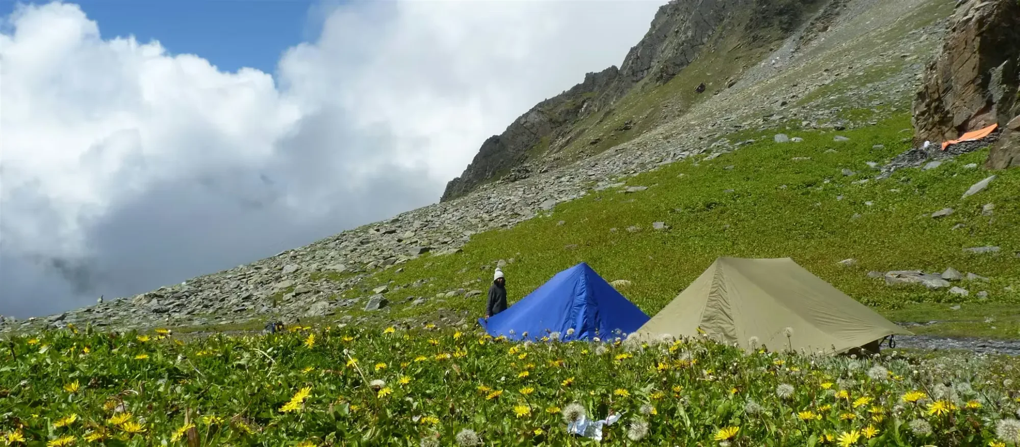
Highly unstructured. The trail is basically a bearing rather than a path. Rock, scree, and permanent snow patches define the upper 4,000 feet.
Summit Day Notes
The summit ascent is physically crushing, but the descent into Pangi is arguably more dangerous due to hard-packed icy snowfields on a 50-degree North face.
The Descent
Plunging 3,500 feet into the Pangi gorge is a recipe for severe tendinitis. Step carefully and sideways.
Altitude Profile
Standard aggressive Pir Panjal jump. Sleeping at 13,500 ft before the summit push carries high AMS risk.
Run AMS Risk Audit →Trail Performance Data
Max Gradient
60%
Hydration
0.7L per km recommended
Loose Surface Sections
- •The entire Pangi descent
Personal Readiness
Am I ready?
What this route demands
People who feel comfortable on this route can usually:
Who Can Do This Trek?
Min Age
18+
Max Age
50
Western Toilets at Base
Yes
Solo Female Travelers
Requires heavily vetted alpine teams.
Hazard Profile
What goes wrong?
Common Mistakes on Darati Pass Trek
Most injuries and failures on this trail can be avoided by making smarter decisions early on.
Thinking it is a 'quieter Sach Pass'. Darati requires vastly more wilderness logistics and self-sufficiency.
Safety & Medical Risks
Key Risks
Slipping on wet grass slopes on Day 2 (fatal falls are possible)
HAPE at the pass
Slipping uncontrollably down the Pangi snowfields
AMS (Altitude Sickness)
High risk. Do not hesitate to return to the treeline if symptoms appear.
Evacuation Route
If the pass is not crossed, retreat to Tisa. If crossed, you must be hauled down to Tindi. Air extraction is highly improbable.
Solo Trekking
Absolutely prohibited.
Common Trail Ailments
🏥 Nearest ICU: Dr. RPGMC Tanda (Kangra) / Fortis Hospital, Kangra
Tactical Emergency Hub
> Helicopter evacuation is nearly impossible on the steep grass slopes or the deep moraines. Manual haul-out is the primary protocol.
Auditability
How is this calculated?
Understand This Route Further
Before attempting this route:
Still deciding?
Compare routes side-by-side to find the perfect match for your fitness, dates, and budget.
Still think it's doable? Share this with your trek mate and see if they agree.
Step 2: Seasonal Safety
You know how demanding this route is.
Now find the safest and most reliable season to attempt it.
Check Best Time to Go