
Explore
Intelligence
Detailed Route
Chipla Kedar Trek Itinerary — Day by Day Route & Camps
The Chipla Kedar Trek is a 4-day journey starting from Baluwakot, peaking on Day 3 at the highest camp.
Standard RouteThis is the standard mountain pacing for this trek. Specific operators may add an acclimatization day or alter the starting point. Check individual operator schedules for their exact logistics.
Duration
4 Days
Total Distance
24 KM
Max Altitude
11,401 FT
Trek Type
linear
Permits Required Before You Go
Permit Cost
Where to Get
Dharchula SDM office
Documents
Aadhaar Card, Passport (foreigners)
Foreign Nationals
Inner Line Permit mandatory. Restricted border area.
Foreigner Process
Inner Line Permits may be required depending on the starting point near the Nepal/Tibet border.
Nearest Embassy Hub
New Delhi
Day by Day Breakdown
Camp Alt
7,200 ft
Day Gain
+3,100 ft
Drive to Baluwakot & Trek to Forest Camp
Drive to Baluwakot and begin the ascent through oak and rhododendron forest.
Key Landmarks
Staying At
The team holds position within the alpine meadow basin, monitoring weather patterns and adapting to the thinning atmosphere.
Camp Alt
10,200 ft
Day Gain
+3,000 ft
Reach Chipla Meadow
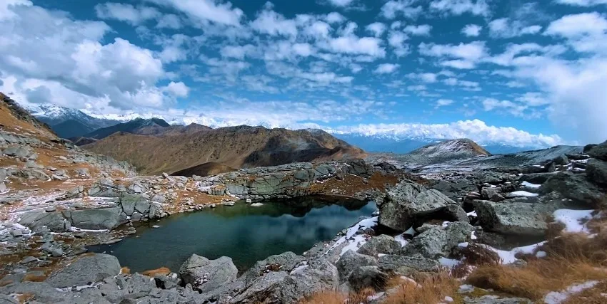
Forest breaks into open meadow with unobstructed Nepal Himalaya views.
Key Landmarks
Staying At
Crossing the high-altitude pass bridges two distinct watershed systems, shifting the expedition over the glaciated divide and down into a new river basin.
Camp Alt
15,400 ft
Day Gain
+5,200 ft
Today's Objective
🛕 Reach Chipla Meadow To Chipla Kedar Temple Chipla Kedar Temple
Short ascent to the temple. Day at the shrine for darshan and exploration of the high meadow.
Key Landmarks
Staying At
Crossing the high-altitude pass bridges two distinct watershed systems, shifting the expedition over the glaciated divide and down into a new river basin.
Camp Alt
5,400 ft
Day Gain
-10,000 ft
Trek to Baluwakot & Drive to Pithoragarh
Long descent and drive back to Pithoragarh town.
The high meadows transition rapidly back into dense forests, returning to the valley floor.
Trek Extensions & Add-ons
Adi Kailash Extension
+6 DaysContinue from Pithoragarh into the Johar Valley for a combined Chipla Kedar and Adi Kailash journey.
Plan Your Trek:
Ready to book? Compare verified operators for Chipla Kedar Trek — transparent pricing, no paid rankings.
Still deciding?
Compare routes side-by-side to find the perfect match for your fitness, dates, and budget.
Day by day, camp by camp. Send this to your group so everyone's on the same page.
Step 4: Cost & Logistics
You understand the route.
Now see what services, permits, and logistics actually cost.
View Cost Breakdown