
Explore
Intelligence
Difficulty & Readiness Guide
Is Bijli Mahadev to Naggar Forest Walk Trek Difficult? — Fitness & Altitude Guide
Easy-Moderate. A gentle 28km forest traverse at 8,000 ft, featuring well-maintained stone pilgrim paths and soft forest floor trails.
The Question
Can I do this trek?
Preparation Required
Entry Level
Prior Experience
None required. Suitable for first-time trekkers.
Expert Verdict
Highly technical trek requiring physical and mental preparation.
Route Knowledge
Why is it difficult?
Exertion Index
Primary Challenge
Route Identity
Endurance-focused route with significant physical taxation.
Primary Drivers
- Grueling summit push with 2,800 ft of elevation gain
- 3 consecutive high-output trekking days
- Peak daily distance of 16 km
View Full Route Analysis
Physiological Demand
Challenging daily distances and steady climbs. Good cardiovascular fitness is required.
Comfortable pacing with good recovery options.
Well-defined, stable trails with no technical maneuvers required.
Rolling or gradual terrain with minimal harsh impact on joints.
Terrain Breakdown
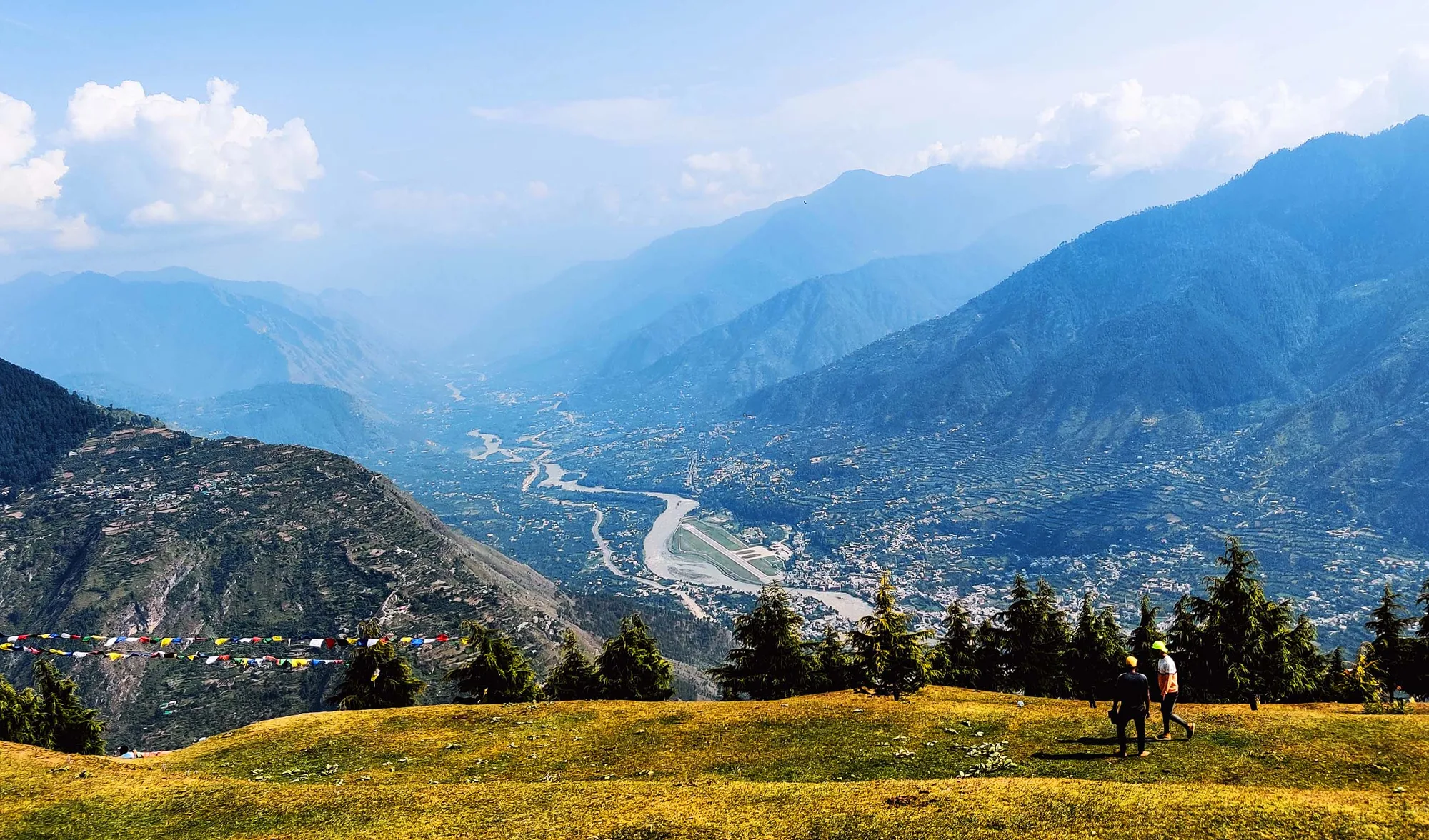
Well-marked forest paths through dense Deodar and pine trees, transitioning into open meadows.
Summit Day Notes
The hike to Bijli Mahadev top is a steep climb consisting of hundreds of stairs and a dirt path.
The Descent
The descent towards Naggar goes through a beautiful, winding forest trail. Can be slippery after rain.
Trail Performance Data
Max Gradient
25%
Hydration
0.25L per km recommended
Loose Surface Sections
- •Forest path Day 2 (leaf litter and root sections)
Personal Readiness
Am I ready?
What this route demands
People who feel comfortable on this route can usually:
Who Can Do This Trek?
Min Age
7+
Max Age
72
Western Toilets at Base
Yes
Solo Female Travelers
Very safe. Bijli Mahadev pilgrim path is a public route used by many pilgrims including women. The forest walk Day 2 benefits from a guide. Naggar is a well-known heritage tourist destination with comfortable infrastructure.
Hazard Profile
What goes wrong?
Common Mistakes on Bijli Mahadev to Naggar Forest Walk
Most injuries and failures on this trail can be avoided by making smarter decisions early on.
Wearing improper footwear for the muddy and slippery forest sections.
Starting the walk too late in the afternoon and getting caught in the dark.
Safety & Medical Risks
Key Risks
Lightning at Bijli Mahadev summit during thunderstorm (ironic for the name — genuinely dangerous; check weather before ascending)
Slippery forest paths in monsoon fringe months (September after late storms)
Leech risk in forest at lower altitudes (July-August, not recommended)
AMS (Altitude Sickness)
Maximum altitude is 8,070 ft — no AMS risk for any standard adult visitor.
Evacuation Route
Same pilgrim road (from Bijli Mahadev to Chansari road-end by vehicle). Patlikuhl on Day 2 has road access. Naggar on Day 3 has full road access.
Solo Trekking
The forest trail between Bijli Mahadev and Patlikuhl is not waymarked and requires guide knowledge. The Bijli Mahadev pilgrim path and Naggar approaches are fully safe for solo trekkers. Guide needed for the forest middle section.
Common Trail Ailments
🏥 Nearest ICU: Regional Hospital Kullu / Kullu Valley Hospital
Tactical Emergency Hub
> The trail is very close to civilization. Evacuation by foot or vehicle is quick and easy.
Auditability
How is this calculated?
Before attempting this route:
Still deciding?
Compare routes side-by-side to find the perfect match for your fitness, dates, and budget.
Still think it's doable? Share this with your trek mate and see if they agree.
Step 2: Seasonal Safety
You know how demanding this route is.
Now find the safest and most reliable season to attempt it.
Check Best Time to Go