Detailed Route
UT Kangri Peak Expedition Itinerary — Day by Day Route & Camps
9-day expedition from Leh via the Leh-Manali highway to the Rumtse Phu valley and UT Kangri summit.
Standard RouteThis is the standard mountain pacing for this trek. Specific operators may add an acclimatization day or alter the starting point. Check individual operator schedules for their exact logistics.
Duration
9 Days
Total Distance
30 KM
Max Altitude
19,915 FT
Trek Type
Standard
Permits Required Before You Go
Permit Cost
Foreigner Process
Expedition visa setup required if going via recognized bodies, though basic IMF peak fees act as a blanket cover for most commercial teams.
Nearest Embassy Hub
New Delhi
Day by Day Breakdown
Arrive Leh — Rest & Acclimatize
Mandatory rest at 3,500m. No exertion whatsoever.
Acclimatization Day — Leh
Light sightseeing only. SpO2 monitoring begins.
Key Landmarks
Drive Leh to Rumtse Village
2.5hr drive on Leh-Manali highway. Rumtse is at 4,350m. Arrive early, rest afternoon.
Key Landmarks
Trek: Rumtse to UT Kangri Base Camp
5–6hr trek up the Rumtse Phu valley. Base camp at ~5,100m. Technical gear briefing.
Acclimatization Hike & Skills Training
Hike to ~5,400m and return. Crampon and ice-axe training on snow slopes above camp.
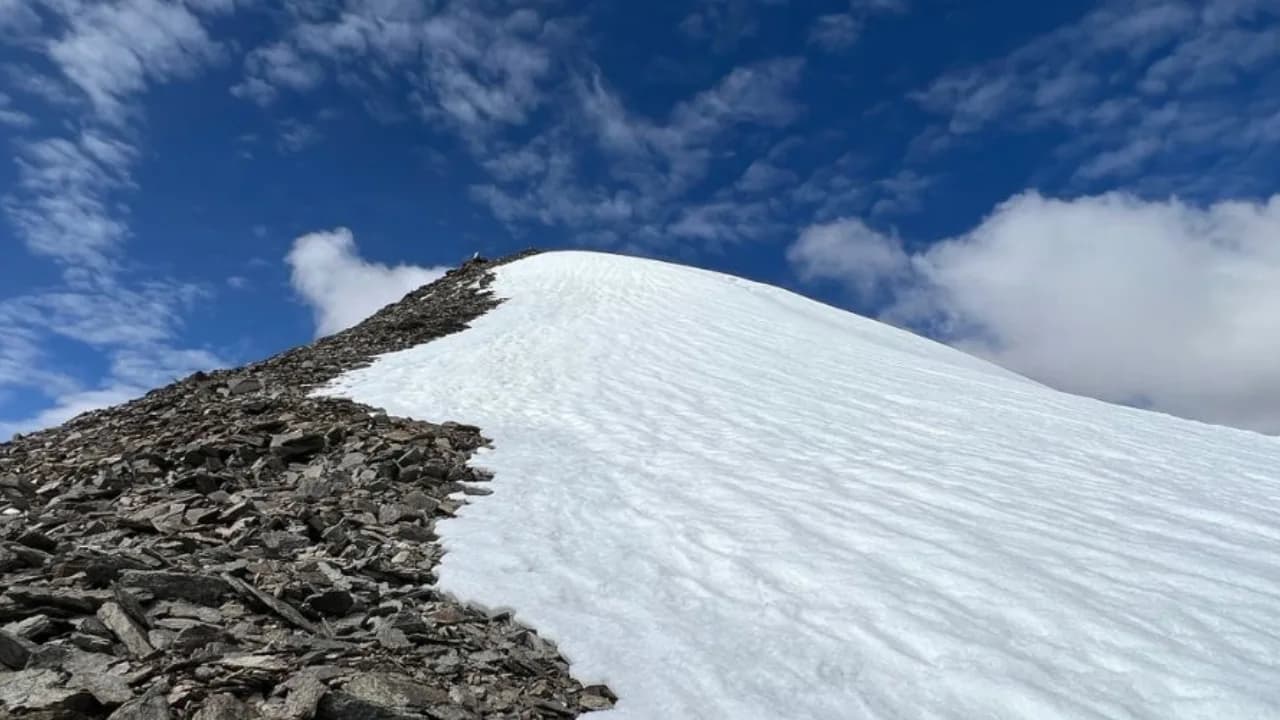
SUMMIT DAY: UT Kangri (6,070m)
Alpine start at 2–3 AM. Steep scree and snow ascent to 6,070m. Return to Base Camp by 1 PM.
Key Landmarks
Buffer Day (Summit attempt or Rest)
Second attempt if summit not reached on Day 6. Otherwise full recovery day.
Trek down & drive to Leh
Trek back to Rumtse, drive to Leh.
Departure from Leh
End of expedition.
Trek Extensions & Add-ons
Suraj Tal Exploration
+0 DayOn Day 3, walk down to the nearby Suraj Tal, a stunning emerald green glacial lake right on the highway.
Also on this trek
Ready to book? Compare verified operators for UT Kangri Peak Expedition — transparent pricing, no paid rankings.
Still deciding?
Compare routes side-by-side to find the perfect match for your fitness, dates, and budget.
Day by day, camp by camp. Send this to your group so everyone's on the same page.
Love this itinerary?
Find operators who follow this exact route with verified acclimatization days.
Find matching operators