
Explore
Intelligence
Difficulty & Readiness Guide
Is UT Kangri Peak Expedition Difficult? — Fitness & Altitude Guide
F/F+ grade — India's most accessible 6,000m peak for first-time mountaineers. No fixed ropes or glacier travel.
The Question
Can I do this trip?
Preparation Required
Advanced
Prior Experience
Required: At least 2-3 moderate Himalayan treks (above 13,000ft).
Expert Verdict
Highly technical peak requiring physical and mental preparation.
Expedition Grading Context
The 52/100 score reflects the physical endurance required for this expedition, which can be deceptive. While some 10-day treks score higher due to their length, this is a technical mountaineering peak that requires specialized skills.
UT Kangri Peak Expedition
Himalayan Placement · Index 52Route Knowledge
Why is it difficult?
Exertion Index
Primary Challenge
Route Identity
Acute altitude challenge featuring a massive, punishing summit climb across a trek featuring loose moraine.
Primary Drivers
- Maximum sleeping altitude of 16,730 ft
- Grueling summit push with 3,185 ft of elevation gain
- Peak daily distance of 18 km
View Full Route Analysis
Physiological Demand
Extreme high altitude exposure. Severe oxygen depletion requires careful acclimatization and peak cardiovascular health.
Expect long, exhausting days of sustained climbing at high intensity. Your cardiovascular system will be pushed to its absolute limit.
Notable elevation gains and losses requiring good leg strength and joint resilience.
Well-defined, stable trails with no technical maneuvers required.
Comfortable pacing with good recovery options.
Terrain Breakdown
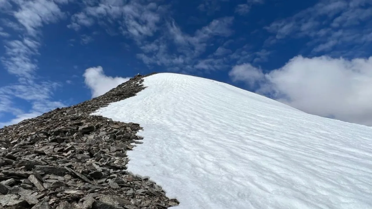
Gentle snow and scree approach with a final rocky ridge to the summit. One of the most accessible 6,000m peaks in India.
Summit Day Notes
Non-technical walk-up. Altitude is the only significant challenge.
The Descent
Same route descent. Watch for loose scree on the lower sections.
Trail Performance Data
Max Gradient
55%
Hydration
1.5L per km recommended
Loose Surface Sections
- •Base camp to Summit is entirely loose scree and hard ice
Personal Readiness
Am I ready?
What this route demands
People who feel comfortable on this expedition can usually:
Who Can Do This Trip?
Min Age
18+
Max Age
55
Western Toilets at Base
No
Solo Female Travelers
Must join an established, registered IMF expedition group.
Hazard Profile
What goes wrong?
Common Mistakes on UT Kangri Peak Expedition
Most injuries and failures on this trail can be avoided by making smarter decisions early on.
Rushing the acclimatization
Attempting in high winds
Safety & Medical Risks
Key Risks
AMS (rapid altitude gain from Leh to 5,100m)
Rockfall on scree descent
Cold winds on summit
AMS (Altitude Sickness)
Rumtse is at 4,350m — the drive from Leh to Rumtse on Day 3 is a significant altitude jump. Do not attempt the base camp trek on the same day as the drive.
Evacuation Route
Trek back to Rumtse, drive on Leh-Manali highway to Leh SNM Hospital.
Solo Trekking
Climbing solo is extremely risky and discouraged due to the extreme altitude and remoteness. Reliable satellite comms and a pre-arranged extraction plan are mandatory if attempted.
Common Trail Ailments
🏥 Nearest ICU: SNM Hospital, Leh
Tactical Emergency Hub
> Immediate vehicle evacuation back down to Keylong if AMS strikes at Base Camp.
Auditability
How is this calculated?
Understand This Route Further
Before attempting this route:
Still deciding?
Compare routes side-by-side to find the perfect match for your fitness, dates, and budget.
Still think it's doable? Share this with your trek mate and see if they agree.
Step 2: Seasonal Safety
You know how demanding this route is.
Now find the safest and most reliable season to attempt it.
Check Best Time to Go