We are currently vetting local partners for Kalindi Khal Expedition to ensure the highest safety standards. Be the first to know when it's open for booking.
Are you a local operator?
Join our platform to list your verified packages for Kalindi Khal Expedition and reach thousands of climbers directly.
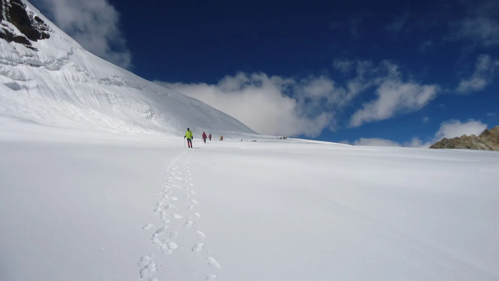
The Kalindi Khal Expedition is India's highest and most demanding glacier traverse, linking Gangotri with Badrinath across vast icefields, remote camps, and one of the Himalayas' most formidable high passes.
Expedition Highlights
Kalindi Khal Sunrise
Standing on the 19,521 ft col watching the sheer ice face of Mt. Kamet and Mt. Mana ignite in the morning sun.
Most common bailout point: Nandanvan or Vasuki Tal
AMS, Exhaustion, or Bad Weather
Common Questions
Is Kalindi Khal the toughest trek in India?
Yes. It holds the unofficial title due to its staggering 19,500 ft altitude, the number of days spent entirely on glacial ice, and the objective dangers of crevasses and avalanches.
Do I need prior mountaineering experience?
Absolutely. At minimum, you must have completed a Basic Mountaineering Course (BMC) or have successfully climbed multiple 6000m peaks. Basic trekkers will be turned back at Bhojbasa.
What is the peak altitude?
The pass itself sits at 5,950 meters (19,521 ft). This is significantly higher than Mount Elbrus or Kilimanjaro. You will feel extreme oxygen deprivation.
How cold does it get?
Night temperatures at Kalindi Base Camp (18,000 ft) routinely plunge to -20°C or -25°C, even in the peak trekking season of June or September.
Is there a real trail?
Only until Gomukh. After Gomukh, you are walking entirely on the shifting, chaotic ice and moraine of the Chaturangi, Sweta, and Kalindi Glaciers. The landscape changes weekly.
What happens if I get AMS?
Above Nandanvan (14,000 ft), evacuation is extremely difficult. If you display HAPE or HACE symptoms, your guide will administer Dexamethasone/Diamox and you must immediately descend. Helicopter rescue is highly unreliable due to winds.
Do we use ropes?
Yes. You will be roped to your team members while crossing the heavily crevassed glaciers to ensure that if someone falls through a snow bridge, the team can auto-arrest.
Where does the expedition start and end?
It starts at the Gangotri temple in the west, crosses the central spine of the Garhwal, and ends at the Badrinath temple in the east.
What is the descent like?
The descent off Kalindi Khal is notoriously steep, littered with hidden crevasses, and heavily avalanche-prone. It is often considered more dangerous than the ascent.
How long is the crossing?
From Gangotri to Badrinath, it usually takes 12 to 14 days of sustained walking, including mandatory acclimatization rest days.
Is Kalindi Khal the toughest trek in India?
Yes. It holds the unofficial title due to its staggering 19,500 ft altitude, the number of days spent entirely on glacial ice, and the objective dangers of crevasses and avalanches.
Do I need prior mountaineering experience?
Absolutely. At minimum, you must have completed a Basic Mountaineering Course (BMC) or have successfully climbed multiple 6000m peaks. Basic trekkers will be turned back at Bhojbasa.
What is the peak altitude?
The pass itself sits at 5,950 meters (19,521 ft). This is significantly higher than Mount Elbrus or Kilimanjaro. You will feel extreme oxygen deprivation.
How cold does it get?
Night temperatures at Kalindi Base Camp (18,000 ft) routinely plunge to -20°C or -25°C, even in the peak trekking season of June or September.
Is there a real trail?
Only until Gomukh. After Gomukh, you are walking entirely on the shifting, chaotic ice and moraine of the Chaturangi, Sweta, and Kalindi Glaciers. The landscape changes weekly.
What happens if I get AMS?
Above Nandanvan (14,000 ft), evacuation is extremely difficult. If you display HAPE or HACE symptoms, your guide will administer Dexamethasone/Diamox and you must immediately descend. Helicopter rescue is highly unreliable due to winds.
Do we use ropes?
Yes. You will be roped to your team members while crossing the heavily crevassed glaciers to ensure that if someone falls through a snow bridge, the team can auto-arrest.
Where does the expedition start and end?
It starts at the Gangotri temple in the west, crosses the central spine of the Garhwal, and ends at the Badrinath temple in the east.
What is the descent like?
The descent off Kalindi Khal is notoriously steep, littered with hidden crevasses, and heavily avalanche-prone. It is often considered more dangerous than the ascent.
How long is the crossing?
From Gangotri to Badrinath, it usually takes 12 to 14 days of sustained walking, including mandatory acclimatization rest days.
Are you a local operator?
Join our platform to list your verified packages for this expedition.