Summit Safety & Risk
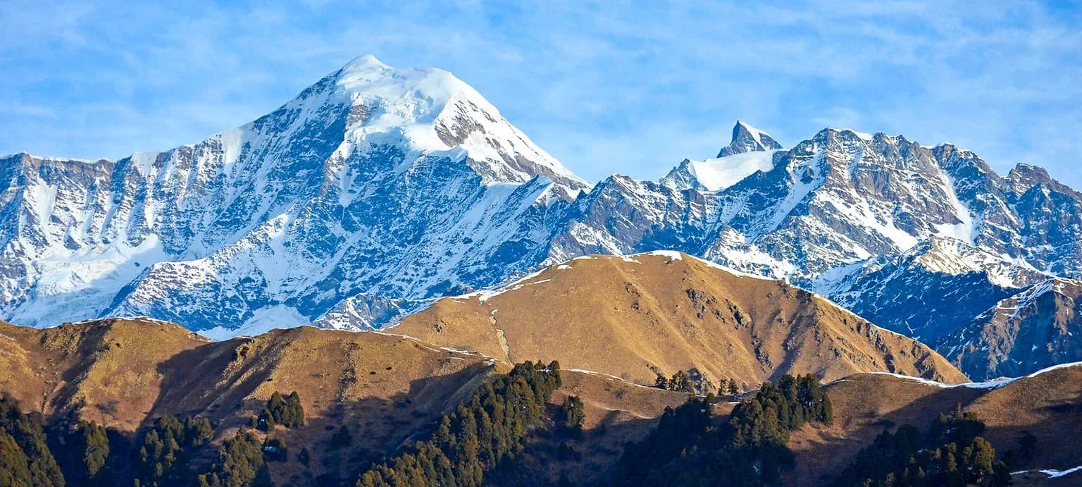
Black Peak (Kalanag) Expedition — Safety Guide
AMS thresholds, glacier hazards, summit day go/no-go decision framework, and emergency contacts.
Technical Specifications
Black Peak (Kalanag) Expedition
Physiology Profile
Summit Protocol
Complexity Index
*Indices calculated based on vertical gain/day and rock/ice angle averages.
Terrain Analysis
Atmospheric Constraints
Summit Day Sequence
Black Peak (Kalanag) Expedition
Physiology Profile
Summit Protocol
Complexity Index
*Indices calculated based on vertical gain/day and rock/ice angle averages.
Primary Hazards
High altitude sickness (AMS, HACE, HAPE)
Crevasse falls on the glacier
Avalanche risk on steep slopes
Extreme cold and frostbite
Altitude Physiology — SpO₂ by Camp
Kyarkoti
85
SpO₂
ABC
75
SpO₂
Camp 1
70
SpO₂
Summit Camp
60
SpO₂
Turn-Around Threshold
SpO₂ < 55%
Descend immediately if reading drops below this at rest
Diamox (Acetazolamide)
Recommended
Consult physician, highly recommended given the rapid ascent to ABC.
⚠️ Golden Rule: Descend to Kyarkoti immediately.
Expedition Medical Kit
Summit Day Protocol
GO Conditions
- ✓ Clear skies
- ✓ Firm ice
- ✓ Low winds
NO-GO Conditions
- ✗ High winds
- ✗ Fresh snowfall
- ✗ Whiteout
Hard Turn-Around: 10:00 AM
Ice wall destabilizes with sun exposure, increasing rockfall and avalanche risk.
Glacier Hazards — Bandarpunch Glacier system
Crevasse Zone
Between ABC and Camp 1
Crevasse Zone
Approaching the summit headwall
Avalanche Path
Summit face
Bergschrund
A massive bergschrund often blocks the final 400m summit push.
Historical Safety Record
We publish verified incident records to help trekkers and operators make informed decisions. Names and personal identifiers are anonymized.
Documented
6
verified incidents
Fatalities
0
none recorded
Near Misses
5
logged
We have analysed 6 documented incidents for this expedition to extract critical safety lessons.
Due to the nature of mountaineering — where most non-fatal incidents go unreported — experts estimate 20+ total historical incidents on this route. Estimated historical fatalities: 3. We present the documented record as-is rather than speculate on undocumented cases.
Year
2022
Weather Stranding
Outcome
Rescue by external team
Contributing Cause
Contributing factors not fully documented
Key Safety Lesson
Always respect weather windows. Do not push for the summit if a storm is forecasted within 24 hours.
Year
2021
Exhaustion / Overexertion
Outcome
Assisted descent by team
Contributing Cause
Overambitious schedule and insufficient turnaround discipline
Key Safety Lesson
Always melting snow takes time. Always carry a stove system capable of rapid boiling.
Year
2019
Weather Stranding
Outcome
Self-recovered
Contributing Cause
Poor weather forecasting and late summit departure
Key Safety Lesson
Never push for the summit in zero visibility. The descent is where most fatalities happen.
Year
2018
Fall — Snow/Ice
Outcome
Self-recovered
Contributing Cause
Crampon slip on steep ice, inadequate self-arrest technique
Key Safety Lesson
Stay well back from the ridge edge. Cornices can break much further back than expected.
Year
2016
Frostbite
Outcome
Assisted descent by team
Contributing Cause
Inadequate insulation gear and prolonged exposure in extreme cold
Key Safety Lesson
Always premium expedition boots and mitts are non-negotiable. Cold injuries happen rapidly.
Year
2015
Avalanche
Outcome
Self-recovered
Contributing Cause
Poor campsite selection in avalanche runout zone
Key Safety Lesson
Always avalanche danger isn't just on the route. Site selection for BC is critical.
Source: Public Records / News Reports
Why estimates differ from records: IMF and news sources only capture permitted expeditions and helicopter rescues. Non-fatal near-misses (AMS, frostbite, falls with self-rescue) are almost never filed. Peaks with multi-decade climbing histories compound these gaps significantly.
Emergency Contacts
Evacuation Route
Evacuation is done by physically carrying the patient to Kyarkoti Base Camp, from where helicopter evacuation may be requested depending on weather, or continued manual evacuation to Sankri.
Insurance Requirements
Altitude Cover
21,000 ft
Heli Rescue
Required
Declare These Activities
Recommended Providers
Compare Operators on Safety Standards
See which operators carry certified guides, satellite comms, and medical support for Black Peak (Kalanag) Expedition.
View OperatorsStill deciding?
Compare routes side-by-side to find the perfect match for your fitness, dates, and budget.
Knowledge Integrity
Help us keep this data ground-truth accurate.
This encyclopedia entry for Black Peak (Kalanag) Expedition is curated from a mix of public survey records, first-hand climber accounts, and official permit logs. However, mountains are dynamic. If you have been on this route recently and noticed a change in terrain, water availability, or local regulations, we want to hear from you.
Community Vetted
Last Verified: May 2026
EXPEDITION DATABASE