
Explore
Intelligence
Detailed Route
Seven Lakes Dhauladhar Trek Itinerary — Day by Day Route & Camps
A massive 6-day circuit starting from McLeod Ganj, crossing Indrahar Pass, traversing a hidden basin of 7 sacred glacial lakes, and descending to Kareri village.
Standard RouteThis is the standard mountain pacing for this trek. Specific operators may add an acclimatization day or alter the starting point. Check individual operator schedules for their exact logistics.
Duration
6 Days
Total Distance
58.0 KM
Max Altitude
14,107 FT
Trek Type
linear
Permits Required Before You Go
Permit Cost
Where to Get
Forest Checkpoint, Dharamkot
Documents
Aadhar Card / Passport
Foreign Nationals
No special restrictions, standard permit applies.
Foreigner Process
Standard forest registration required.
Nearest Embassy Hub
New Delhi
Day by Day Breakdown
Camp Alt
9,432 ft
Day Gain
+2,632 ft
Reach Triund
Start from the bustling Tibetan hub of McLeod Ganj. The trail ascends steadily through mixed forests of oak and rhododendron. The final hour involves a steep climb via 22 switchbacks to reach the grassy ridge of Triund, offering a spectacular face-to-face view of the Mun Peak.
Key Landmarks
Staying At
The route moves through forested zones. The route ascends to an exposed ridge line.
Camp Alt
10,990 ft
Day Gain
+1,558 ft
Reach Lahesh Cave
Leave the crowds behind and ascend past Snowline Cafe towards Laka Got, a vast moraine field that holds a glacier in early summer. The trail becomes noticeably steeper and rockier. Lahesh Cave is a natural rock shelter used by shepherds, situated just below the imposing Indrahar Pass headwall.
Key Landmarks
Staying At
The valley transitions into a glacial basin. The path breaches the mountain barrier crossing the watershed.
Field Notes
Use Trekking Poles
Trekking poles are highly recommended to save your knees on the descent.
INFOSlower Progress
Progress will be significantly slower and more taxing on your ankles than trail distance suggests.
Camp Alt
13,500 ft
Day Gain
+2,510 ft
Today's Objective
🏔 Cross Cross Indrahar Pass
An alpine start (3:00 AM) is required. The climb to Indrahar Pass is a grueling, near-vertical scramble over loose scree and boulders. At the pass (14,107 ft), you cross the Dhauladhar divide. The descent on the Chamba side is equally steep, leading down into a desolate, rocky basin holding Nag Dal, the first of the sacred lakes.
Key Landmarks
Staying At
Crossing the high-altitude pass bridges two distinct watershed systems, shifting the expedition over the glaciated divide and down into a new river basin.
Field Notes
Stow Poles
Requires hands-on rock scrambling. Stow trekking poles to free up your hands.
INFOSlower Progress
Progress will be significantly slower and more taxing on your ankles than trail distance suggests.
Camp Alt
12,795 ft
Day Gain
-705 ft
Today's Objective
💧 Reach Lam Dal
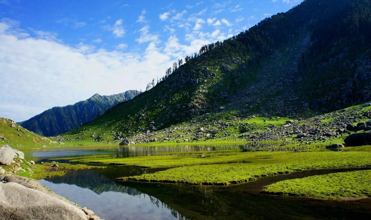
Today you traverse the high-altitude plateau, navigating a maze of massive boulders and ridges to visit the hidden lakes of Chanderkoop and Dham Ghodi. The terrain is entirely rock and ice, with no defined trail. Eventually, you descend to the shores of Lam Dal, the largest and most revered lake in the Dhauladhar range.
Key Landmarks
Staying At
Crossing the high-altitude pass bridges two distinct watershed systems, shifting the expedition over the glaciated divide and down into a new river basin.
Field Notes
Stow Poles
Requires hands-on rock scrambling. Stow trekking poles to free up your hands.
INFOSlower Progress
Progress will be significantly slower and more taxing on your ankles than trail distance suggests.
Camp Alt
9,625 ft
Day Gain
-3,170 ft
Today's Objective
💧 Reach Kareri Lake
From Lam Dal, you make a short visit to the dark, mystical waters of Kali Kund. Then, you begin the long, punishing descent over the Minkiani/Kareri ridge line back towards the Kangra valley. The trail drops sharply over loose rocks until you finally reach the lush green meadows surrounding Kareri Lake.
Key Landmarks
Staying At
The environment transitions into open alpine meadows. The route ascends to an exposed ridge line.
Field Notes
Use Trekking Poles
Trekking poles are highly recommended to save your knees on the descent.
INFOSlower Progress
Progress will be significantly slower and more taxing on your ankles than trail distance suggests.
Camp Alt
5,900 ft
Day Gain
-3,725 ft
Trek to Kareri Village & Drive to Dharamshala
The final day is a long but beautiful descent through dense pine and oak forests, following the Nyund river downstream. The trail is well-defined and gradually brings you back to civilization at Kareri Village, where vehicles will transfer you back to Dharamshala.
Key Landmarks
The route moves through forested zones. The route follows the river valley.
Field Notes
KEY ACTIONRiver Crossings
Plan to cross early in the day before snowmelt swells the water levels. Unclip backpack waist belts before crossing.
Trek Extensions & Add-ons
Minkiani Pass Extension
+1 DayInstead of crossing the ridge directly to Kareri Lake, route over Minkiani Pass (14,000 ft) for a more technical descent.
Plan Your Trek:
Ready to book? Compare verified operators for Seven Lakes Dhauladhar Trek — transparent pricing, no paid rankings.
Still deciding?
Compare routes side-by-side to find the perfect match for your fitness, dates, and budget.
Day by day, camp by camp. Send this to your group so everyone's on the same page.
Step 4: Cost & Logistics
You understand the route.
Now see what services, permits, and logistics actually cost.
View Cost Breakdown