
Explore
Intelligence
Detailed Route
Saru Tal Trek Itinerary — Day by Day Route & Camps
An 8-day journey starting from Sankri, summiting Kedarkantha peak, and then pushing deep into isolated ridges to reach the pristine Saru Tal glacial lake.
Standard RouteThis is the standard mountain pacing for this trek. Specific operators may add an acclimatization day or alter the starting point. Check individual operator schedules for their exact logistics.
Duration
8 Days
Total Distance
62.0 KM
Max Altitude
13,615 FT
Trek Type
circuit
Permits Required Before You Go
Permit Cost
Where to Get
Forest Check Post, Netwar.
Documents
Aadhar Card / Passport, Passport size photos, Medical Fitness Certificate (Stamped by MBBS), Risk Declaration Form
Foreign Nationals
Foreigners require a standard visa. The forest entry fee is significantly higher for non-Indians (approx. ₹1500+).
Foreigner Process
Foreigners pay a significantly higher forest entry fee at Netwar. Bring your physical passport and visa.
Nearest Embassy Hub
New Delhi
Day by Day Breakdown
Camp Alt
6,400 ft
Day Gain
+4,300 ft
Drive Dehradun to Sankri
A long, beautiful drive winding through the Garhwal Himalayas. You will pass through Mussoorie, the pine forests of Purola, and follow the roaring Tons River. Arrive at the bustling base camp village of Sankri by late afternoon to register with the forest department.
Key Landmarks
Staying At
The journey follows the mountain river corridor, transitioning from the broader plains into the steep-sided topography approaching the high country.
Camp Alt
11,250 ft
Day Gain
+4,850 ft
Reach Kedarkantha Base Camp
The trek begins with a steep climb through a dense pine forest. You will pass the famous frozen lake of Juda Ka Talab before ascending further above the tree line to the Kedarkantha Base Camp. Expect this section to be busy with other trekking groups.
Key Landmarks
Staying At
Vegetation gives way to barren glacial debris as the route enters the expansive moraine basin and ablation zone of the glaciated upper watershed.
Camp Alt
11,500 ft
Day Gain
+250 ft
Today's Objective
🏔 Summit Kedarkantha Summit
Start at 3:00 AM for the summit push. Reach the 12,500 ft summit for a spectacular sunrise over the Himalayas. Instead of descending the standard route back to Sankri, you will divert and descend toward the remote, sweeping meadows of Dunda Thach. Here, the crowds vanish.
Key Landmarks
Staying At
The final ascent leaves the upper glacial basin for the exposed summit ridges, offering panoramic views across the watershed divide before descending back to the icefields.
Camp Alt
12,200 ft
Day Gain
+700 ft
Reach Taloti Thach
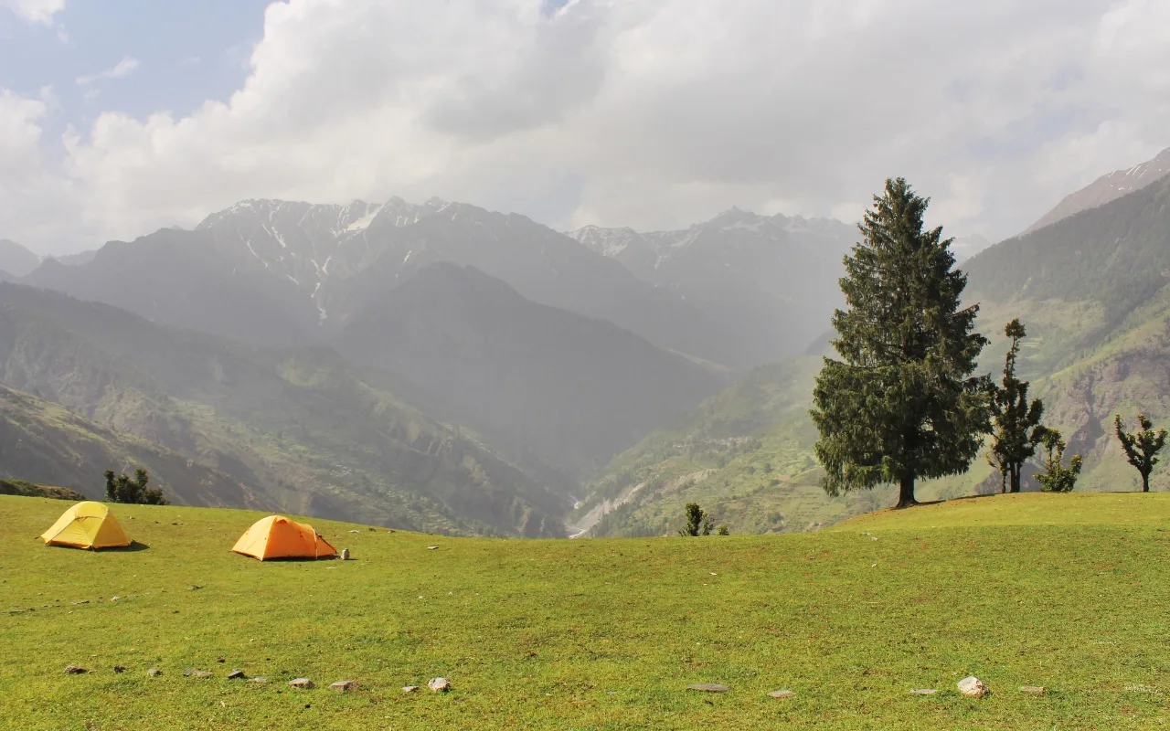
A beautiful day of ridge walking. You are now deep in the wilderness. The trail undulates across massive alpine meadows (bugyals), offering continuous, unimpeded views of the Black Peak and Bandarpoonch ranges. Camp at the high pasture of Taloti Thach.
Key Landmarks
Staying At
The rugged alpine terrain opens up to reveal a spectacular high-altitude glacial tarn, serving as a critical hydrological node in the upper watershed.
Camp Alt
13,615 ft
Day Gain
+1,415 ft
Today's Objective
🏔 Summit Reach Saru Tal
The most challenging day. The ascent is steep and involves navigating rocky, exposed ridges and potentially deep snow banks. Arrive at the stunning, amphitheater-like basin of Saru Tal. The lake reflects the surrounding peaks perfectly. Camp near the lake shores (wind permitting).
Key Landmarks
Staying At
Crossing the high-altitude pass bridges two distinct watershed systems, shifting the expedition over the glaciated divide and down into a new river basin.
Camp Alt
12,200 ft
Day Gain
-1,415 ft
Return to Taloti Thach / Dev Bhasa
Wake up early to witness the golden hour hitting the peaks surrounding the lake. After breakfast, retrace your steps back along the high ridges, descending to the relative warmth and thicker oxygen of the Taloti Thach (or Dev Bhasa) meadows.
Key Landmarks
Staying At
The rugged alpine terrain opens up to reveal a spectacular high-altitude glacial tarn, serving as a critical hydrological node in the upper watershed.
Camp Alt
6,400 ft
Day Gain
-5,800 ft
Trek to Sankri & Drive to Dehradun
A massive descent day. The trail drops sharply from the high meadows back into the dense oak and walnut forests, eventually hitting the valley floor near the Supin river. Reach the roadhead at Taluka, where a 4x4 jeep will drive you the final 11km back to Sankri.
Key Landmarks
Staying At
The high alpine meadows narrow into forested river terraces as tree line vegetation reappears in the lower mountain river corridor.
Field Notes
KEY ACTIONRiver Crossings
Plan to cross early in the day before snowmelt swells the water levels. Unclip backpack waist belts before crossing.
Camp Alt
2,100 ft
Day Gain
-4,300 ft
Drive Sankri to Dehradun
Board your vehicles early in the morning for the long, winding drive back to Dehradun. You will be dropped off at the ISBT or Railway Station by late afternoon/early evening.
Key Landmarks
The motorized route descends from the Tons river valley back to Dehradun.
Trek Extensions & Add-ons
Fachu Kandi Pass Traverse
+2 DaysElite trekkers can continue past Saru Tal to cross the technical Fachu Kandi Pass, dropping directly into the Yamunotri valley instead of returning to Sankri.
Plan Your Trek:
Ready to book? Compare verified operators for Saru Tal Trek — transparent pricing, no paid rankings.
Still deciding?
Compare routes side-by-side to find the perfect match for your fitness, dates, and budget.
Day by day, camp by camp. Send this to your group so everyone's on the same page.
Step 4: Cost & Logistics
You understand the route.
Now see what services, permits, and logistics actually cost.
View Cost Breakdown