
Explore
Intelligence
Detailed Route
Ruinsara Tal Trek Itinerary — Day by Day Route & Camps
An 8-day expedition starting from Sankri, trekking through ancient villages and vast meadows to reach a sacred glacial lake at 11,480 ft.
Standard RouteThis is the standard mountain pacing for this trek. Specific operators may add an acclimatization day or alter the starting point. Check individual operator schedules for their exact logistics.
Duration
8 Days
Total Distance
66.0 KM
Max Altitude
12,000 FT
Trek Type
circuit
Permits Required Before You Go
Permit Cost
Where to Get
Forest Checkpoint at Netwar (on the way to Sankri).
Documents
Aadhar Card / Government ID, Passport size photos, Medical Fitness Certificate (stamped by MBBS doctor)
Foreign Nationals
Foreigners pay a significantly higher forest entry fee (approx ₹600/day) and must present original passports with valid visas at Netwar.
Foreigner Process
Foreigners pay a premium forest entry fee. Must register at Netwar with original passport and visa.
Nearest Embassy Hub
New Delhi
Day by Day Breakdown
Camp Alt
6,400 ft
Day Gain
+4,300 ft
Drive from Dehradun to Sankri
A long, winding drive through the Yamuna and Tons river valleys. You will pass through the beautiful pine forests of Purola. Sankri is the bustling base camp for multiple treks in the region.
Key Landmarks
Staying At
The motorized route ascends from the plains into the Tons river valley.
Camp Alt
8,400 ft
Day Gain
+2,000 ft
Drive to Taluka & Trek to Seema
Take a bumpy 1-hour jeep ride from Sankri to Taluka. From Taluka, the trek begins alongside the roaring Supin river through dense walnut and chestnut forests. The trail is undulating but well-marked.
Key Landmarks
Staying At
The vehicle route ends, transitioning into a forested trail following the Supin river gorge toward Seema.
Field Notes
KEY ACTIONRiver Crossings
Plan to cross early in the day before snowmelt swells the water levels. Unclip backpack waist belts before crossing.
Camp Alt
9,840 ft
Day Gain
+1,440 ft
Reach Devsu Bugyal
Here you leave the main Har Ki Dun trail and cross the suspension bridge over the Supin river. A steep, relentless ascent through dense forest leads you to the magnificent, vast meadow of Devsu Bugyal.
Key Landmarks
Staying At
The Supin gorge emerges onto a steep forested ascent toward the Devsu Bugyal meadow.
Field Notes
KEY ACTIONRiver Crossings
Plan to cross early in the day before snowmelt swells the water levels. Unclip backpack waist belts before crossing.
Camp Alt
11,480 ft
Day Gain
+1,640 ft
Today's Objective
💧 Reach Ruinsara Tal
The trail descends sharply from the bugyal to the riverbed, then climbs steadily alongside the Ruinsara river. The valley narrows dramatically. You will pass through ancient Bhojpatra (birch) forests before arriving at the alpine lake.
Key Landmarks
Staying At
The Devsu Bugyal meadow descends into the Ruinsara gorge before ascending to the Ruinsara Tal lake basin.
Field Notes
KEY ACTIONRiver Crossings
Plan to cross early in the day before snowmelt swells the water levels. Unclip backpack waist belts before crossing.
Camp Alt
11,480 ft
Day Gain
0 ft
Explore Ruinsara Tal
A day to rest and acclimatize. Take a short hike towards the base of Swargarohini or the path leading to Bali Pass. The views of the glaciers and towering peaks from the lake's edge are unparalleled.
Key Landmarks
Staying At
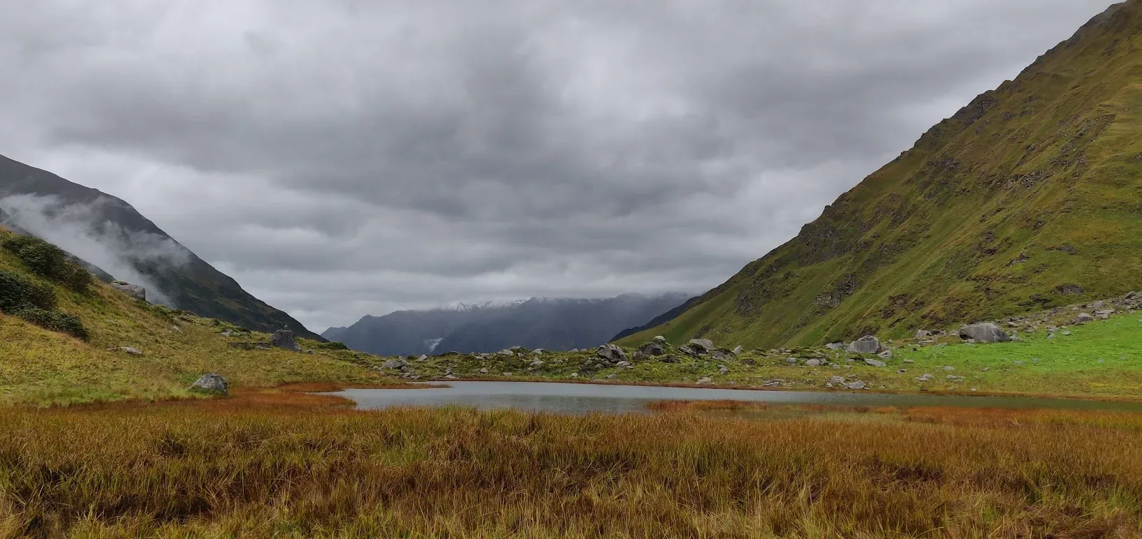
The rugged alpine terrain opens up to reveal a spectacular high-altitude glacial tarn, serving as a critical hydrological node in the upper watershed.
Field Notes
Use Trekking Poles
Trekking poles are highly recommended to save your knees on the descent.
INFOSlower Progress
Progress will be significantly slower and more taxing on your ankles than trail distance suggests.
Camp Alt
9,840 ft
Day Gain
-1,640 ft
Return to Devsu Bugyal / Seema
Retrace your steps down the valley. The descent is much faster but requires careful footing over the rocky riverbed and tree roots. Spend another evening in the beautiful meadows of Devsu.
Key Landmarks
Staying At
The Ruinsara lake basin descends steeply back down the forested trail toward Seema.
Field Notes
KEY ACTIONRiver Crossings
Plan to cross early in the day before snowmelt swells the water levels. Unclip backpack waist belts before crossing.
Camp Alt
6,400 ft
Day Gain
-3,440 ft
Trek to Taluka & Drive to Sankri
A long descent day. You will pass by the ancient village of Osla (famous for its wooden architecture and Duryodhana/Someshwar temple). Reach Taluka and take the bumpy jeep ride back to Sankri.
Key Landmarks
Staying At
The forested trail follows the Supin river gorge back to the Taluka roadhead.
Field Notes
KEY ACTIONRiver Crossings
Plan to cross early in the day before snowmelt swells the water levels. Unclip backpack waist belts before crossing.
Camp Alt
2,100 ft
Day Gain
-4,300 ft
Drive from Sankri to Dehradun
Board the vehicles early morning for the long 10-hour drive back to Dehradun. The expedition officially concludes upon reaching Dehradun ISBT or Railway Station.
Key Landmarks
The mountain road descends from the Tons river valley back to Dehradun.
Trek Extensions & Add-ons
Bali Pass Traverse
+3 DaysFor elite mountaineers, Ruinsara Tal is the launchpad for crossing the lethal, 16,200 ft Bali Pass to descend into the Yamunotri valley.
Plan Your Trek:
Ready to book? Compare verified operators for Ruinsara Tal Trek — transparent pricing, no paid rankings.
Still deciding?
Compare routes side-by-side to find the perfect match for your fitness, dates, and budget.
Day by day, camp by camp. Send this to your group so everyone's on the same page.
Step 4: Cost & Logistics
You understand the route.
Now see what services, permits, and logistics actually cost.
View Cost Breakdown