
Explore
Intelligence
Difficulty & Readiness Guide
Is Markha Valley Trek Difficult? — Fitness & Altitude Guide
Focus on cardiovascular fitness and prepare for long days in intense high-altitude sun.
The Question
Can I do this trek?
Preparation Required
Advanced
Prior Experience
Required: At least 2-3 moderate Himalayan treks (above 13,000ft).
Expert Verdict
Highly technical trek requiring physical and mental preparation.
Markha Valley Trek
Himalayan Placement · Index 58Route Knowledge
Why is it difficult?
Exertion Index
Primary Challenge
Route Identity
Cardio-intensive route compounded by significant altitude exposure across a pass-crossing route featuring river crossings and loose moraine.
Primary Drivers
- Maximum sleeping altitude of 15,518 ft
- Grueling summit push with 1,542 ft of elevation gain
- 4 consecutive high-output trekking days
- Peak daily distance of 20 km
View Full Route Analysis
Physiological Demand
Expect long, exhausting days of sustained climbing at high intensity. Your cardiovascular system will be pushed to its absolute limit.
Extreme high altitude exposure. Severe oxygen depletion requires careful acclimatization and peak cardiovascular health.
Steep, punishing ascents and descents that will heavily tax your knees, ankles, and overall joint stability.
Multi-day camping requiring mental toughness to handle weather and fatigue debt.
Well-defined, stable trails with no technical maneuvers required.
Terrain Breakdown
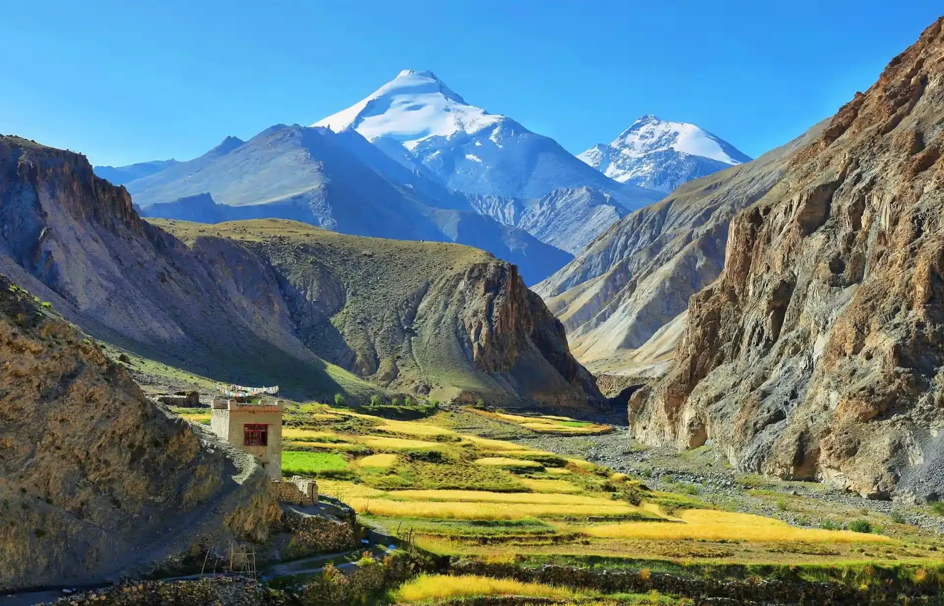
High altitude desert, scree slopes, multiple river crossings (which can be deep in July), and long dry stretches.
Summit Day Notes
Crossing the Kongmaru La (5,150m) or Ganda La (4,900m) involves a steep ascent with thin air, followed by a sharp descent into a gorge.
The Descent
The descent from Kongmaru La into Chokdo is steep, narrow, and rocky. It can be harsh on the knees.
Altitude Profile
Starts high (Leh is at 3,500m) and stays high. Pre-trek acclimatization in Leh is critical.
Run AMS Risk Audit →Trail Performance Data
Max Gradient
40%
Hydration
0.4L per km recommended
Loose Surface Sections
- •Rocky pass scree zones
- •Forest slippery switchbacks
Personal Readiness
Am I ready?
What this route demands
People who feel comfortable on this route can usually:
Who Can Do This Trek?
Min Age
12+
Max Age
65
Western Toilets at Base
No
Solo Female Travelers
Highly safe trail. Locals are friendly and accommodating. Carry basic personal protection.
Hazard Profile
What goes wrong?
Common Mistakes on Markha Valley Trek
Most injuries and failures on this trail can be avoided by making smarter decisions early on.
Keeping wet shoes on after the numerous river crossings, leading to severe blisters.
Underestimating the intense, dehydrating daytime heat of the Ladakhi desert valleys.
Safety & Medical Risks
Key Risks
Acute Mountain Sickness (AMS) risk due to elevation gain to 15518 ft.
Sudden weather shifts, whiteouts, and trail drops.
Physical fatigue and cold winds on steep rocky ridges.
AMS (Altitude Sickness)
Acclimatize progressively. Hydrate daily with 4-5 liters of water. Pacing should be slow, rhythmic, and continuous. Carry Diamox if prescribed by medical experts.
Evacuation Route
Emergency extraction via local porter or mule team down to the road head at Chilling.
Solo Trekking
Allowed, but strongly advised to hire a local guide or team due to deep wilderness isolation and lack of trail signals.
Common Trail Ailments
🏥 Nearest ICU: SNM Hospital, Leh
Tactical Emergency Hub
> Helicopter rescues are rare and require military approval. Evac is usually by horse to a road.
Auditability
How is this calculated?
Understand This Route Further
Before attempting this route:
Still deciding?
Compare routes side-by-side to find the perfect match for your fitness, dates, and budget.
Still think it's doable? Share this with your trek mate and see if they agree.
Step 2: Seasonal Safety
You know how demanding this route is.
Now find the safest and most reliable season to attempt it.
Check Best Time to Go