
Explore
Intelligence
Difficulty & Readiness Guide
Is Manimahesh Kailash Trek Difficult? — Fitness & Altitude Guide
Intermediate.
The Question
Can I do this trek?
Preparation Required
Intermediate
Prior Experience
Recommended: 1-2 easy Himalayan treks or regular hiking experience.
Expert Verdict
Highly technical trek requiring physical and mental preparation.
Manimahesh Kailash Trek
Himalayan Placement · Index 31Route Knowledge
Why is it difficult?
Exertion Index
Primary Challenge
Route Identity
Fast-paced or high-mileage route demanding excellent cardiovascular fitness across a pass-crossing route featuring loose moraine.
Primary Drivers
- Grueling summit push with 3,700 ft of elevation gain
- 2 consecutive high-output trekking days
- Peak daily distance of 12 km
View Full Route Analysis
Physiological Demand
Expect long, exhausting days of sustained climbing at high intensity. Your cardiovascular system will be pushed to its absolute limit.
Notable elevation gains and losses requiring good leg strength and joint resilience.
Comfortable pacing with good recovery options.
Below the major effects of altitude sickness. Air remains relatively dense.
Terrain Breakdown
Forest trail to Dhancho, then steep rocky switchbacks to the lake. No technical sections but sustained steep climbing.
Summit Day Notes
13,500ft. 4,000ft gain in one push. The Bhairav Ghati section is the crux — steep, rocky, and exhausting.
Altitude Profile
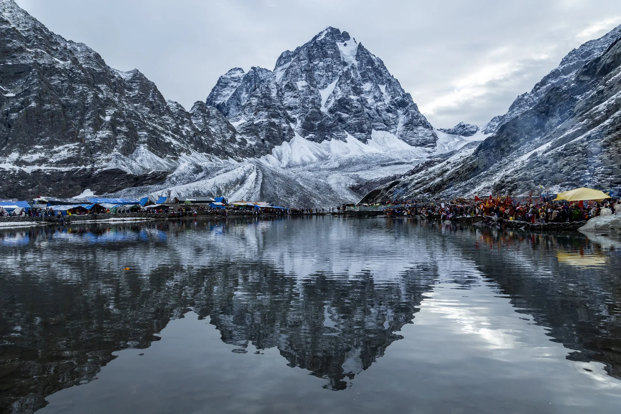
Starts at Hadsar (~2,010m), climbs steeply via Dhancho (~3,100m) to the sacred Manimahesh Lake (~4,080m). The 5,653m peak itself remains unclimbed.
Run AMS Risk Audit →Trail Performance Data
Max Gradient
40%
Hydration
0.5L per km recommended
Loose Surface Sections
- •Final 2km rocky ascent from Gauri Kund
- •Dhancho bridge approach
Personal Readiness
Am I ready?
What this route demands
People who feel comfortable on this route can usually:
Who Can Do This Trek?
Min Age
8+
Max Age
65
Western Toilets at Base
Yes
Solo Female Travelers
High; extremely safe during Yatra season due to heavy security and social pilgrim culture.
Hazard Profile
What goes wrong?
Common Mistakes on Manimahesh Kailash Trek
Most injuries and failures on this trail can be avoided by making smarter decisions early on.
Attempting in cotton clothing — hypothermia risk at the lake.
Not carrying warm dry clothes for after the holy dip.
Starting too late — the descent in darkness is dangerous.
Skipping water intake due to cold weather.
Safety & Medical Risks
Key Risks
AMS from rapid 4,000ft gain
Hypothermia from holy dip in 4°C water
Crowded trail injuries during peak yatra
Slippery trail in rain
AMS (Altitude Sickness)
Moderate. 13,500ft with rapid gain. Hydrate and pace well.
Evacuation Route
Descend to Dhancho (government camp). Helicopter during yatra season.
Solo Trekking
Safe during yatra season — trail is extremely crowded. Outside yatra, not recommended solo.
Common Trail Ailments
🏥 Nearest ICU: Pt. JLN Government Medical College, Chamba / Dr. RPGMC Tanda
Tactical Emergency Hub
> Bharmour helipad is extremely close; heli-ambulance services are highly active during the Yatra window. Bharmour Civil Hospital is the primary medical hub.
Auditability
How is this calculated?
Understand This Route Further
Before attempting this route:
Still deciding?
Compare routes side-by-side to find the perfect match for your fitness, dates, and budget.
Still think it's doable? Share this with your trek mate and see if they agree.
Step 2: Seasonal Safety
You know how demanding this route is.
Now find the safest and most reliable season to attempt it.
Check Best Time to Go