
Explore
Intelligence
Detailed Route
Kush Kalyan Trek Itinerary — Day by Day Route & Camps
A 6-day journey driving to Malla, climbing through dense oak forests to the expansive Kush Kalyan bugyals, and exploring the ridges towards Sahastra Tal.
Standard RouteThis is the standard mountain pacing for this trek. Specific operators may add an acclimatization day or alter the starting point. Check individual operator schedules for their exact logistics.
Duration
6 Days
Total Distance
38.0 KM
Max Altitude
11,500 FT
Trek Type
circuit
Permits Required Before You Go
Permit Cost
Where to Get
Forest checkpoint at Malla/Uttarkashi.
Documents
Aadhar Card / Government ID, Passport size photos
Foreign Nationals
Standard forest entry fees apply. Passports and valid visas are required for registration.
Foreigner Process
No special Inner Line Permit required. Standard forest entry copy of passport/visa is sufficient.
Nearest Embassy Hub
New Delhi
Day by Day Breakdown
Camp Alt
5,500 ft
Day Gain
+3,400 ft
Drive from Dehradun to Malla
A scenic mountain drive along the Bhagirathi river. You will pass through Uttarkashi town where you can make last-minute ATM withdrawals or gear purchases before reaching the quiet base village of Malla.
Key Landmarks
Staying At
The road journey links the from the plains into the Bhagirathi river basin.
Camp Alt
8,500 ft
Day Gain
+3,000 ft
Trek: Malla to Sillachan (Sheela Gano Gaira)
The trek starts with a steep, continuous ascent through thick forests of oak and rhododendron. The tree cover is dense, providing good shade. The climb is physically demanding but technically easy.
Key Landmarks
Staying At
Crossing the high-altitude pass bridges two distinct watershed systems, shifting the expedition over the glaciated divide and down into a new river basin.
Camp Alt
10,500 ft
Day Gain
+2,000 ft
Trek: Sillachan to Kush Kalyan Bugyal
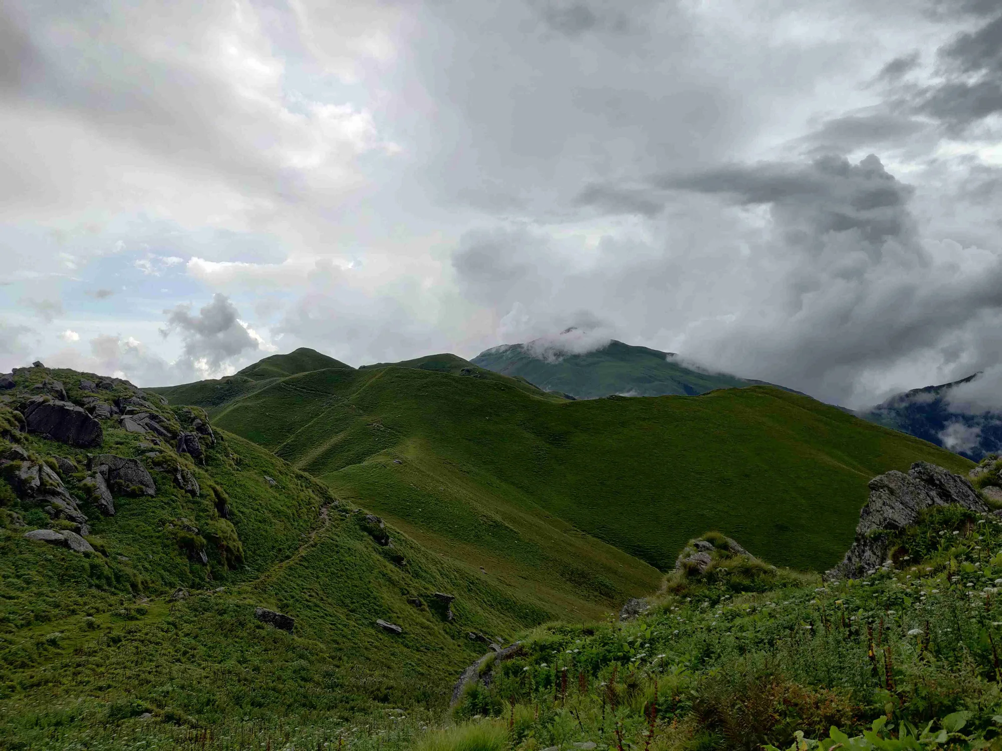
A spectacular day. You break out of the treeline after a few hours of climbing and enter the vast, rolling meadows of Kush Kalyan. The gradient eases out, and the massive peaks of the Garhwal Himalayas reveal themselves.
Key Landmarks
Staying At
The Sillachan forest canopy emerges onto the open Kush Kalyan alpine meadow.
Camp Alt
10,500 ft
Day Gain
0 ft
Today's Objective
🏔 Summit Kush Kalyan To Kyarki Bugyal
Carry a daypack and hike further up the ridge towards Kyarki Bugyal. This is the highest point of the trek, offering unobstructed, awe-inspiring views of the high peaks and glaciers. Return to the Kush Kalyan camp by afternoon.
Key Landmarks
Staying At
Crossing the high-altitude pass bridges two distinct watershed systems, shifting the expedition over the glaciated divide and down into a new river basin.
Camp Alt
5,500 ft
Day Gain
-5,000 ft
Trek: Kush Kalyan to Malla
A long, continuous descent retracing your steps through the forest. Dropping 5,000 feet in one day is hard on the knees and toes. Trekking poles are highly recommended to reduce impact.
Key Landmarks
Staying At
The Kush Kalyan alpine meadow transitions steeply downward through the forest back to the Malla roadhead.
Camp Alt
2,100 ft
Day Gain
-3,400 ft
Drive from Malla to Dehradun
Board the vehicle in the morning for the scenic drive back to Dehradun. You will typically reach Dehradun ISBT or the Railway Station by late afternoon.
Key Landmarks
The mountain valley topography transitions back into the lower foothill river plains.
Trek Extensions & Add-ons
Sahastra Tal Expedition
+6 DaysFor elite trekkers, Kush Kalyan is just Day 3. The trail continues up the ridge for another 4 days to reach the magnificent, glacial Sahastra Tal lake at over 15,000 ft.
Plan Your Trek:
Ready to book? Compare verified operators for Kush Kalyan Trek — transparent pricing, no paid rankings.
Still deciding?
Compare routes side-by-side to find the perfect match for your fitness, dates, and budget.
Day by day, camp by camp. Send this to your group so everyone's on the same page.
Step 4: Cost & Logistics
You understand the route.
Now see what services, permits, and logistics actually cost.
View Cost Breakdown