
Explore
Intelligence
Detailed Route
Kuari Pass Trek Itinerary — Day by Day Route & Camps
A 6-day immersive expedition traversing diverse Himalayan landscapes and alpine altitudes.
Standard RouteThis is the standard mountain pacing for this trek. Specific operators may add an acclimatization day or alter the starting point. Check individual operator schedules for their exact logistics.
Duration
6 Days
Total Distance
36 KM
Max Altitude
12,516 FT
Trek Type
circuit
Permits Required Before You Go
Foreigner Process
Inner Line Permit required due to proximity to border; issued at Joshimath SDM office.
Nearest Embassy Hub
Delhi
Day by Day Breakdown
Camp Alt
6,150 ft
Day Gain
+4,050 ft
Drive to Joshimath
Pick up from Dehradun Railway Station by 6:30 AM. Scenic drive follows the Alaknanda river upstream. You pass all 5 holy Prayags (confluences). Joshimath is the service hub for this region — last chance for ATMs and trekking gear shopping. Night stay in a hotel/guesthouse for better acclimatization.
Key Landmarks
The motorable road navigates deeper into the mountain river corridor, where the landscape transitions from lower foothills into the steep, dense forested valleys.
Camp Alt
9,600 ft
Day Gain
+3,450 ft
Drive to Dhak & Trek to Gulling Top
Short 12km drive from Joshimath to Dhak. The trek starts with a dusty zig-zag trail through villages. You'll see locals going about their mountain life. As you enter the forest, the air turns cool. Gulling Top offers first views of Dronagiri peak. Campsite is in a forest clearing.
Key Landmarks
Staying At
The trail follows the mountain river corridor through a narrow, forested gorge, moving past traditional settlements into increasingly dense dense forested valleys.
Camp Alt
11,070 ft
Day Gain
+1,470 ft
Reach Tali Forest Camp
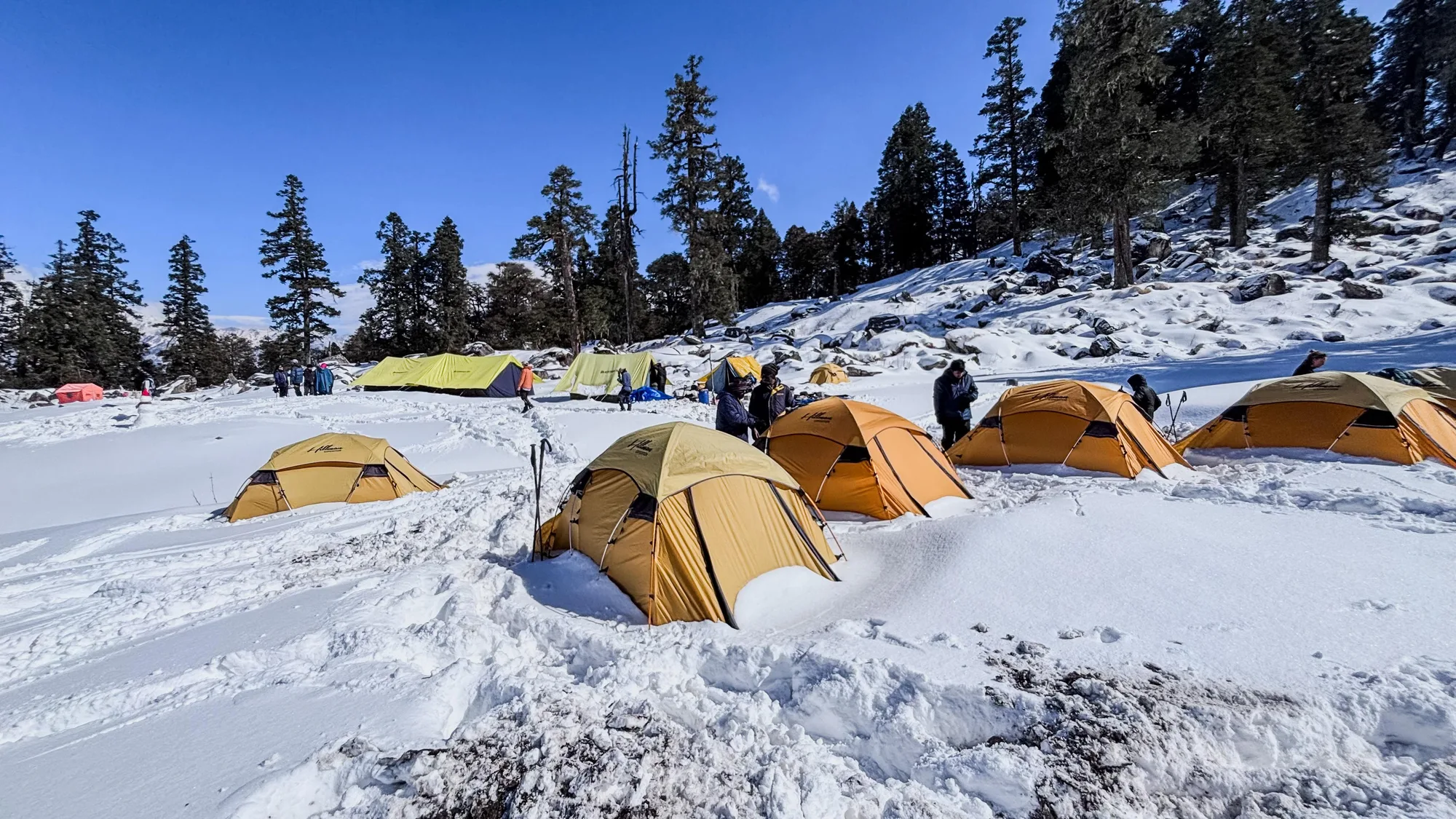
Beautiful day through deep forests of Oak, Rhododendron, and Walnut. In Spring, the trail is carpeted with red petals. The climb is moderate. Tali Lake is a small alpine lake that is often frozen in winter months. The campsite is nestled in the forest to protect from high winds.
Key Landmarks
Staying At
The team holds position within the alpine meadow basin, monitoring weather patterns and adapting to the thinning atmosphere.
Camp Alt
11,070 ft
Day Gain
0 ft
Today's Objective
🏔 Cross Kuari Pass
The highlight day. Ridge walk on the Lord Curzon trail. Spectacular 360-degree views of the high Himalayas. Nanda Devi (7,816m) dominates the horizon. The wind at the pass can be extremely strong — carry windcheaters. Return to the lower camp for the night.
Key Landmarks
Staying At
Crossing the high-altitude pass bridges two distinct watershed systems, shifting the expedition over the glaciated divide and down into a new river basin.
Camp Alt
6,150 ft
Day Gain
-4,920 ft
Trek to Auli & Drive to Joshimath
A stunning descent through massive meadows of Gorson Bugyal. In winter, this is a prime skiing spot. You'll see the Auli Chairlift and the artificial lake used for snow-making. From Auli, a 10km drive brings you back to the comfort of your Joshimath hotel. Hot shower day!
Key Landmarks
The Khullara meadow loses altitude quickly back into the forested settlement of Auli.
Camp Alt
2,100 ft
Day Gain
-4,050 ft
Drive to Dehradun
Same return route along the river. Reach Dehradun by 7:00 PM. Highly recommended to book your flight or bus after 9:00 PM to account for mountain traffic.
Key Landmarks
The mountain valley topography transitions back into the lower foothill river plains.
Trek Extensions & Add-ons
Pangarchulla Peak Climb
+1 DayTechnical summit push for a 15,000ft peak nearby.
Plan Your Trek:
Ready to book? Compare verified operators for Kuari Pass Trek — transparent pricing, no paid rankings.
Still deciding?
Compare routes side-by-side to find the perfect match for your fitness, dates, and budget.
Day by day, camp by camp. Send this to your group so everyone's on the same page.
Step 4: Cost & Logistics
You understand the route.
Now see what services, permits, and logistics actually cost.
View Cost Breakdown