Difficulty & Readiness Guide
Is Kheerganga Trek Difficult? — Fitness & Altitude Guide
Preparation Required
Entry Level
Prior Experience
None required. Suitable for first-time trekkers.
Score Engine v3
Why This Score?
Stamina
9/100
Based on average nightly altitude gain, highest campsite, and daily distance. Reflects how hard the average day feels.
Spike Day
18/100
Based on max altitude reached, summit day elevation gain, and summit day distance. Reflects the hardest single day.
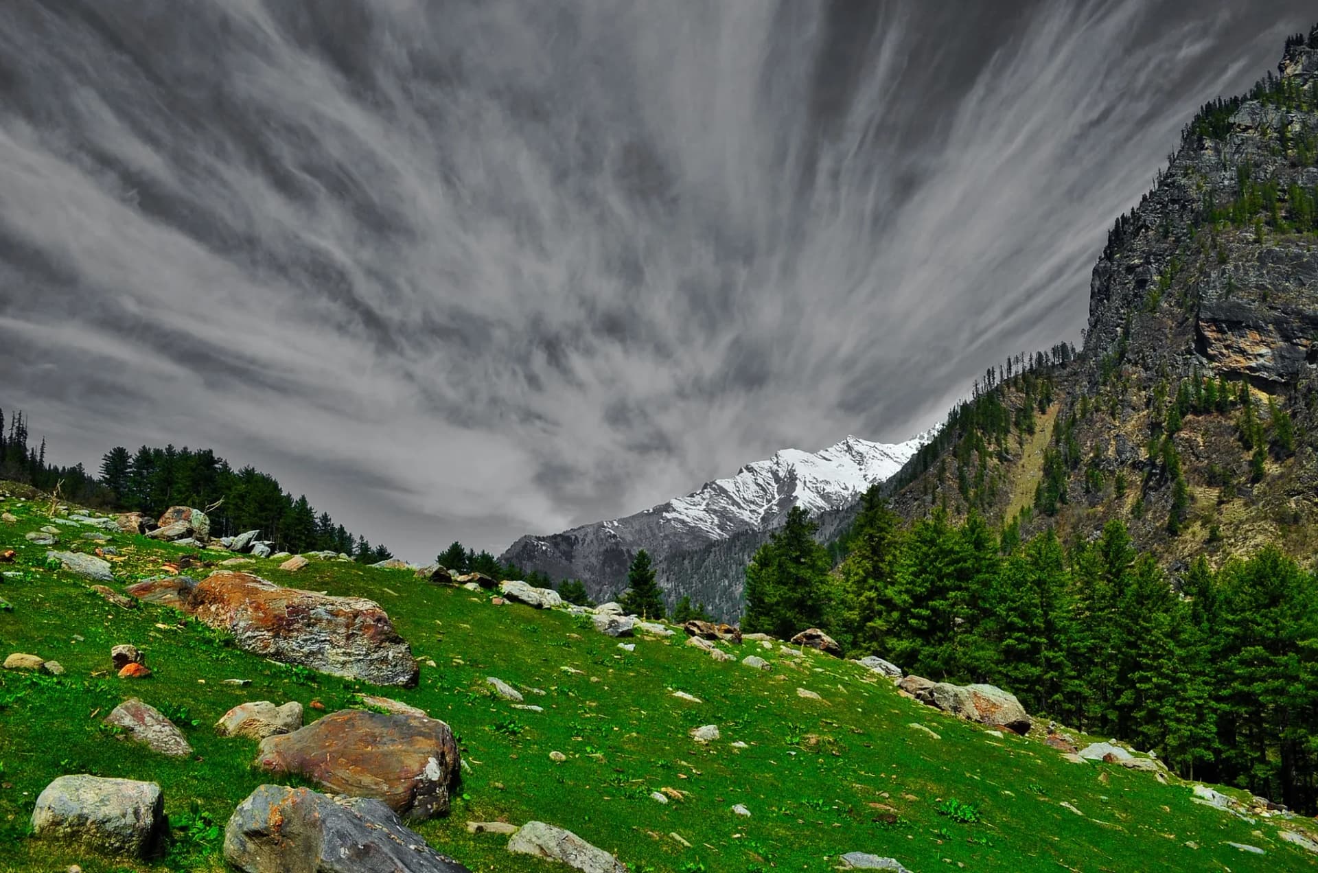
Why Kheerganga Trek Feels Difficult
A welcoming route that balances cardio demand and joint & muscle impact.
Physiological Demand
Challenging daily distances and steady climbs. Good cardiovascular fitness is required.
Notable elevation gains and losses requiring good leg strength and joint resilience.
Rough, uneven trails with occasional scrambling or minor exposure.
Below the major effects of altitude sickness. Air remains relatively dense.
Comfortable pacing with good recovery options.
Crux Section
Day 2 — Knee Crux
Deep 2,400ft descent will test joint stability.
The Leech Warning
Caution
In July-August, the forest section from Nakthan to Kheerganga is leech territory. Wear full-length socks over your pants, carry salt, and check ankles every 30 minutes.
Terrain Breakdown
Forest trail throughout. One steep section (1 km) midway. Well-defined but narrow in places. River crossings on wooden bridges.
Summit Day Notes
Altitude: 9,700ft. Easy for most. The 12km length is the challenge, not the altitude.
The Descent
Fast and easy. Knee fatigue on the steep section.
Preparation
Basic. If you can walk 10 km on flat ground, you can do Kheerganga. The altitude is moderate.
Route Stress Forecast
Deep 2,400ft descent will test joint stability.
Day 1 requires the highest sustained output.
*Forecast derived from route geometry and altitude profile. External variables (weather/group) remain the final authority.
Trail Performance Data
Max Gradient
30%
Hydration
0.4L per km recommended
Loose Surface Sections
- •Initial descend from Barshaini
- •Rocky stairs near Nakthan
Common Mistakes on Kheerganga Trek
Most injuries and failures on this trail can be avoided by making smarter decisions early on.
Wearing sandals — the trail has rocks and roots.
Not carrying enough water (only one reliable water source midway).
Ignoring leech protection in monsoon.
Staying too long in the hot spring — leads to dizziness at altitude.
Not bringing a towel and change of clothes for the spring.
Safety & Medical Risks
Key Risks
Leeches in monsoon (forest section)
Slippery trail near Rudra Nag waterfall
Dizziness from prolonged hot spring soak at altitude
Unregulated camping leading to hygiene issues
AMS (Altitude Sickness)
Very low risk. 9,700ft is safe for most.
Evacuation Route
Walk to Barshaini (4 hours). Jeep to Bhuntar (1.5 hours).
Solo Trekking
Extremely safe. One of the busiest trails in HP. Solo trekkers should carry a headlamp and inform their guesthouse.
Common Trail Ailments
🏥 Nearest ICU: Lady Willingdon Hospital, Manali / Regional Hospital, Kullu
Tactical Emergency Hub
> 4-5 hr rapid trek back to Barshaini roadhead. Kasol medical care is the first responder hub (~1 hr drive from roadhead).
Who Can Do This Trek?
Min Age
8+
Max Age
60
Western Toilets at Base
Yes
Solo Female Travelers
Very High; extremely popular and social route with heavy pedestrian traffic.
Expert Verdict
Highly technical trek requiring physical and mental preparation.
Ready to book? Compare verified operators for Kheerganga Trek — transparent pricing, no paid rankings.
Want to know which operators carry certified guides and medical support? See operator safety ratings for Kheerganga Trek
Also on this trek
Still deciding?
Compare routes side-by-side to find the perfect match for your fitness, dates, and budget.
Still think it's doable? Share this with your trek mate and see if they agree.
Fit for the challenge?
For challenging treks, safety is paramount. Find operators prioritizing medical support and guide expertise.
Compare operator safety scores