
Explore
Intelligence
Difficulty & Readiness Guide
Is Kedartal Trek Difficult? — Fitness & Altitude Guide
Elite level.
The Question
Can I do this trek?
Preparation Required
Intermediate
Prior Experience
Recommended: 1-2 easy Himalayan treks or regular hiking experience.
Expert Verdict
Highly technical trek requiring physical and mental preparation.
Kedartal Trek
Himalayan Placement · Index 47Route Knowledge
Why is it difficult?
Exertion Index
Primary Challenge
Route Identity
Cardio-intensive route compounded by significant altitude exposure across a trek featuring loose moraine.
Primary Drivers
- Maximum sleeping altitude of 14,100 ft
- 4 consecutive high-output trekking days
- Peak daily distance of 13 km
View Full Route Analysis
Physiological Demand
Challenging daily distances and steady climbs. Good cardiovascular fitness is required.
Significant time spent above 12,000ft. Expect shortness of breath and slower pacing.
Multi-day camping requiring mental toughness to handle weather and fatigue debt.
Notable elevation gains and losses requiring good leg strength and joint resilience.
Well-defined, stable trails with no technical maneuvers required.
Terrain Breakdown
Relentlessly steep from the first step. The trail is characterized by granite bedrock, narrow ledges (Spider Wall), and unstable glacial moraine. No 'easy miles' on this trek.
Summit Day Notes
Day 5 navigating the boulder field at 15,000ft is exhausting. Boulder-hopping for 4 hours requires core strength and balance.
The Descent
Hardest descent in the region. The 4,000ft drop in 8 hours on rocky terrain is a knee-killer. Poles are 100% mandatory.
Altitude Profile
One of the fastest altitude gains (10,200 to 15,500 in 3 days). textbook AMS risk profile. Slow and steady is the only rule.
Run AMS Risk Audit →Trail Performance Data
Max Gradient
55%
Hydration
0.8L per km recommended
Loose Surface Sections
- •Bhoj Kharak boulder sections
- •Final lake moraine crawl
Personal Readiness
Am I ready?
What this route demands
People who feel comfortable on this route can usually:
Who Can Do This Trek?
Min Age
14+
Max Age
50
Western Toilets at Base
Yes
Solo Female Travelers
High; Gangotri is a very safe base. Group trekking is mandatory due to the Spider Wall verticality.
Hazard Profile
What goes wrong?
Common Mistakes on Kedartal Trek
Most injuries and failures on this trail can be avoided by making smarter decisions early on.
Taking first-timers — this is an elite trek. Beginners will suffer and potentially risk AMS or injury.
Ignoring the 'Spider Wall' warning — if you have severe vertigo, this trek is not for you.
Skipping the Gangotri rest day — the rapid gain (10k to 12.4k on Day 3) is a prime AMS trigger.
Rushing the boulder field — twisted ankles in the Kedar moraine are the #1 cause of evacuation.
Wearing low-ankle shoes — you need high-ankle support for the rock-walking and ledge traverses.
Ignoring hydration — cold weather masks thirst; failure to drink 5L water leads to quick exhaustion.
Arriving in Gangotri late — starting the steep Bhojkharak climb in the afternoon sun is a recipe for heatstroke.
Not checking weather forecasts — sudden September snow can block the moraine trail in minutes.
Safety & Medical Risks
Key Risks
High risk of rockfall, especially at the infamous Spider Wall
Steep ascents and narrow cliff-side trails
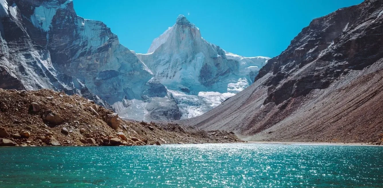
Unstable boulder-strewn moraines
Rapid weather changes causing landslides
AMS (Altitude Sickness)
The trek features a rapid ascent from Gangotri (3,415m) to Kedartal (4,750m). This aggressive elevation gain creates a very high risk of Acute Mountain Sickness (AMS). Spending an acclimatization day in Gangotri and recognizing early AMS symptoms is critical.
Evacuation Route
Manual evac to Gangotri, then road transport.
Solo Trekking
Solo trekking is not recommended. The dangerous rockfall zones, complex moraine navigation, and high AMS risk require professional local guides and an organized team capable of immediate emergency response.
Common Trail Ailments
🏥 Nearest ICU: Kailash Hospital / Max Super Speciality Hospital, Dehradun
Tactical Emergency Hub
> Very steep 1.5 days rapid descent to Gangotri roadhead. Uttarkashi is the nearest District Hospital hub.
Auditability
How is this calculated?
Understand This Route Further
Before attempting this route:
Still deciding?
Compare routes side-by-side to find the perfect match for your fitness, dates, and budget.
Still think it's doable? Share this with your trek mate and see if they agree.
Step 2: Seasonal Safety
You know how demanding this route is.
Now find the safest and most reliable season to attempt it.
Check Best Time to Go