
Explore
Intelligence
Detailed Route
Kafni Glacier Trek Itinerary — Day by Day Route & Camps
An 8-day spectacular glacier trek tracing deep valleys into the heart of the Kumaon Himalayas.
Standard RouteThis is the standard mountain pacing for this trek. Specific operators may add an acclimatization day or alter the starting point. Check individual operator schedules for their exact logistics.
Duration
8 Days
Total Distance
87 KM
Max Altitude
12,795 FT
Trek Type
linear
Permits Required Before You Go
Permit Cost
Where to Get
Loharkhet Checkpost
Documents
Aadhar Card, Medical declaration
Foreign Nationals
Standard passport log check. Usually no issues.
Foreigner Process
Standard registration at Loharkhet.
Nearest Embassy Hub
New Delhi
Day by Day Breakdown
Camp Alt
5,700 ft
Day Gain
+4,200 ft
Drive to Loharkhet
A massive 10-hour drive plunging deep into the Kumaon hills. The drive passes through the historic temple town of Bageshwar. Loharkhet is a small, quiet settlement where the trail begins.
Key Landmarks
Staying At
The motorable road navigates deeper into the mountain river corridor, where the landscape transitions from lower foothills into the steep, dense forested valleys.
Camp Alt
8,790 ft
Day Gain
+3,090 ft
Reach Dhakuri
A steep, continuous uphill climb through thick oak forests to top out at the 9,300 ft Dhakuri Pass. Right at the pass, a legendary, staggering view of the Pindar valley and towering peaks suddenly reveals itself. A short descent brings you to Dhakuri camp.
Key Landmarks
Staying At
The trail follows the mountain river corridor through a narrow, forested gorge, moving past traditional settlements into increasingly dense dense forested valleys.
Camp Alt
7,250 ft
Day Gain
-1,540 ft
Reach Khati
A highly relaxed downhill day. The trail widens and descends into Khati, the last permanently inhabited village on this route. Khati is deeply atmospheric, featuring wooden Kumaoni houses and fields of amaranth.
Key Landmarks
Staying At
The high alpine meadows narrow into forested river terraces as tree line vegetation reappears in the lower mountain river corridor.
Camp Alt
8,460 ft
Day Gain
+1,210 ft
Reach Dwali
You walk deeply into the gorge, tracing the thundering Pindar river. The forest canopy is dense. You cross numerous streams. Dwali is a crucial junction right at the confluence of the Pindar and Kafni rivers.
Key Landmarks
Staying At
The trail follows the mountain river corridor through a narrow, forested gorge, moving past traditional settlements into increasingly dense dense forested valleys.
Field Notes
KEY ACTIONRiver Crossings
Plan to cross early in the day before snowmelt swells the water levels. Unclip backpack waist belts before crossing.
Camp Alt
10,500 ft
Day Gain
+2,040 ft
Reach Khatia
Here, the heavy Pindari crowds go left; you go right. The trail follows the Kafni river upwards. The trees thin out into dwarf rhododendrons, and altitude is gained quickly. The valley opens up spectacularly.
Key Landmarks
Staying At
The route leaves the Pindar gorge, entering the narrower Kafni river basin.
Field Notes
KEY ACTIONRiver Crossings
Plan to cross early in the day before snowmelt swells the water levels. Unclip backpack waist belts before crossing.
Camp Alt
8,460 ft
Day Gain
-2,040 ft
Today's Objective
🧊 Reach Kafni Glacier Zero Point
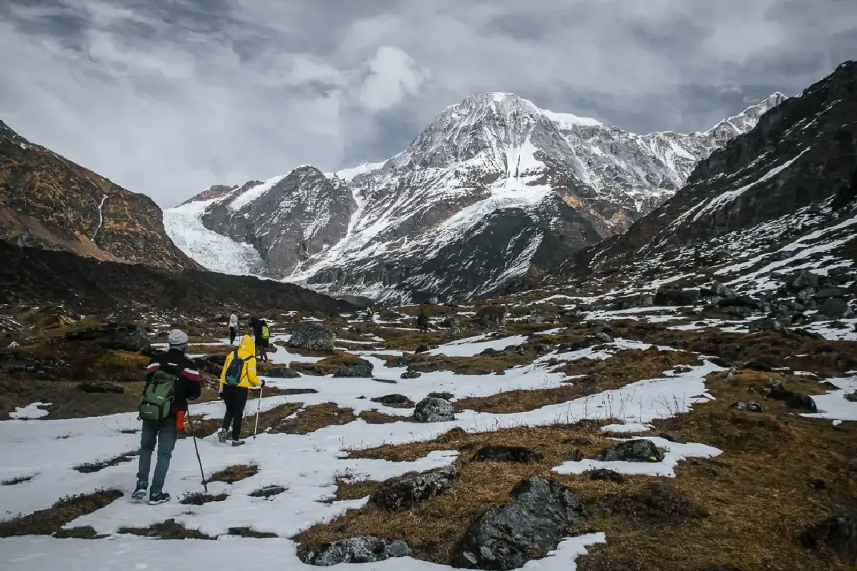
The summit day. You hike 7km ascending the pristine alpine meadows to Zero Point right beneath the snout of the glacier. Nanda Kot towers vertically above. After absorbing the staggering isolation, hike all the way back down to Dwali.
Key Landmarks
Staying At
The route navigates the barren moraine basin surrounding the Kafni glacier before dropping back to the forested gorge.
Field Notes
Use Trekking Poles
Trekking poles are highly recommended to save your knees on the descent.
INFOSlower Progress
Progress will be significantly slower and more taxing on your ankles than trail distance suggests.
Camp Alt
8,790 ft
Day Gain
+330 ft
Reach Dhakuri
A long return day involving a major descent to Khati followed by the steep re-ascent toward Dhakuri Pass. The final climb is physically demanding after multiple days on trail.
Key Landmarks
Staying At
The trail follows the mountain river corridor through a narrow, forested gorge, moving past traditional settlements into increasingly dense dense forested valleys.
Field Notes
KEY ACTIONRiver Crossings
Plan to cross early in the day before snowmelt swells the water levels. Unclip backpack waist belts before crossing.
Camp Alt
1,500 ft
Day Gain
-7,290 ft
Trek to Loharkhet & Drive to Kathgodam
A fast morning 11km descent from Dhakuri back to the roadhead at Loharkhet, immediately followed by the 10-hour drive back to the Kathgodam railhead in the plains.
Key Landmarks
The high alpine meadows narrow into forested river terraces as tree line vegetation reappears in the lower mountain river corridor.
Trek Extensions & Add-ons
Pindari Dual-Glacier Extension
+2 DaysAt Dwali, branch left up the main gorge to hit the Pindari Glacier zero point before returning.
Plan Your Trek:
Ready to book? Compare verified operators for Kafni Glacier Trek — transparent pricing, no paid rankings.
Still deciding?
Compare routes side-by-side to find the perfect match for your fitness, dates, and budget.
Day by day, camp by camp. Send this to your group so everyone's on the same page.
Step 4: Cost & Logistics
You understand the route.
Now see what services, permits, and logistics actually cost.
View Cost Breakdown