
Explore
Intelligence
Difficulty & Readiness Guide
Is Gurez Trek Difficult? — Fitness & Altitude Guide
Moderate to Difficult. The steep climbs and high altitude (13,000 ft) demand excellent fitness, though the terrain is softer than standard rock-strewn passes.
The Question
Can I do this trek?
Preparation Required
Intermediate
Prior Experience
Recommended: 1-2 easy Himalayan treks or regular hiking experience.
Expert Verdict
Highly technical trek requiring physical and mental preparation.
Gurez Trek
Himalayan Placement · Index 50Route Knowledge
Why is it difficult?
Exertion Index
Primary Challenge
Route Identity
High-impact route characterised by steep gradients and heavy joint loading across a pass-crossing route featuring river crossings and loose moraine.
Primary Drivers
- Maximum sleeping altitude of 13,000 ft
- Grueling summit push with 2,700 ft of elevation gain
- 3 consecutive high-output trekking days
- Peak daily distance of 17 km
View Full Route Analysis
Physiological Demand
Steep, punishing ascents and descents that will heavily tax your knees, ankles, and overall joint stability.
Challenging daily distances and steady climbs. Good cardiovascular fitness is required.
Significant time spent above 12,000ft. Expect shortness of breath and slower pacing.
Comfortable pacing with good recovery options.
Well-defined, stable trails with no technical maneuvers required.
Terrain Breakdown
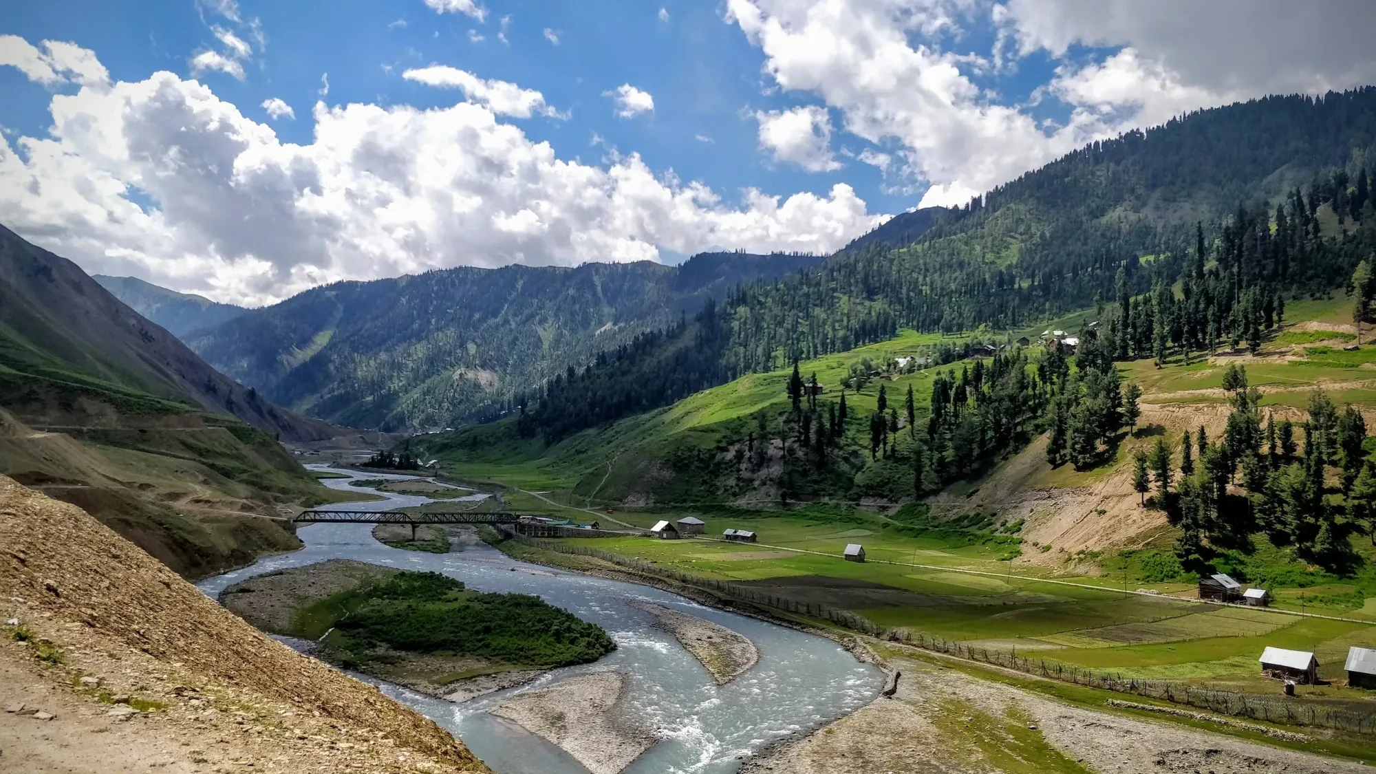
The terrain is generally more forgiving than the Dhauladhar or Garhwal Himalayas. The trails are softer, consisting mostly of pine needles and alpine grass, though the final approach to the lakes involves rocky moraine.
Summit Day Notes
The final push to the Patalwan lakes is steep and lacks a defined trail. You will navigate using sheep tracks and natural landmarks.
The Descent
Day 4 is a massive 5,000 ft descent. While the surface is relatively soft, the sheer distance and gradient will severely tax your knees and quads.
Altitude Profile
A very safe profile. You gain altitude steadily from Srinagar (5,200 ft) to Dawar (8,000 ft) and then to the camps, allowing excellent acclimatization.
Run AMS Risk Audit →Trail Performance Data
Max Gradient
30%
Hydration
0.8L per km recommended
Loose Surface Sections
- •The final moraine approach to the lakes
Personal Readiness
Am I ready?
What this route demands
People who feel comfortable on this route can usually:
Who Can Do This Trek?
Min Age
14+
Max Age
55
Western Toilets at Base
Yes
Solo Female Travelers
Culturally safe and highly militarized (secure), but you must trek with a registered agency. No solo trekking allowed.
Hazard Profile
What goes wrong?
Common Mistakes on Gurez Trek
Most injuries and failures on this trail can be avoided by making smarter decisions early on.
Forgetting original ID documents. The army will turn you back at Razdan pass if you only have digital copies.
Underestimating the cold. Despite being a summer trek, the proximity to the glaciers means night temperatures at the lakes drop below freezing.
Attempting to fly a drone. This will result in immediate confiscation by the military and potential legal trouble.
Safety & Medical Risks
Key Risks
Altitude sickness when pushing from 10,500 ft to 13,000 ft on Day 3
Getting lost; trails are undefined shepherd tracks
Brown bear encounters if food is left outside tents
AMS (Altitude Sickness)
Moderate risk. Carry Diamox and ensure you drink at least 3 liters of water daily.
Evacuation Route
Ground evacuation via mules back to Dawar, where the local hospital and army medical facilities can provide initial care before transfer to Srinagar.
Solo Trekking
Strictly illegal due to border security protocols. You will be stopped by the military.
Common Trail Ailments
🏥 Nearest ICU: Srinagar
Tactical Emergency Hub
> Military helicopters frequently fly in the valley, and in extreme life-or-death civilian emergencies, army intervention has been known to occur.
Auditability
How is this calculated?
Understand This Route Further
Before attempting this route:
Still deciding?
Compare routes side-by-side to find the perfect match for your fitness, dates, and budget.
Still think it's doable? Share this with your trek mate and see if they agree.
Step 2: Seasonal Safety
You know how demanding this route is.
Now find the safest and most reliable season to attempt it.
Check Best Time to Go