
Explore
Intelligence
Detailed Route
Dev Kyara Trek Itinerary — Day by Day Route & Camps
A 7-day moderate expedition tracing the remote Obra River valley towards the dramatic Dev Kyara meadows.
Standard RouteThis is the standard mountain pacing for this trek. Specific operators may add an acclimatization day or alter the starting point. Check individual operator schedules for their exact logistics.
Duration
7 Days
Total Distance
34 KM
Max Altitude
13,451 FT
Trek Type
linear
Day by Day Breakdown
Camp Alt
7,300 ft
Day Gain
+5,200 ft
Drive to Jakhol
Drive from Dehradun north into the Supin valley to Jakhol — the base village and the Ministry of Tourism's Best Adventure Tourism Village 2024. Settle in for the night.
The mountain road navigates upward from the plains into the Tons river valley.
Camp Alt
8,202 ft
Day Gain
+902 ft
Reach Obra Thatch
First trail day. Climb out of Jakhol up the Obra Gad drainage to the meadow camp at Obra Thatch.
The Jakhol roadhead broadens into a forested trail following the Supin river gorge.
Field Notes
KEY ACTIONRiver Crossings
Plan to cross early in the day before snowmelt swells the water levels. Unclip backpack waist belts before crossing.
Camp Alt
11,482 ft
Day Gain
+3,280 ft
Reach Bhawa Waterfall
Climb steadily through pine and oak forest to the Bhawa waterfall camp.
The forested Supin valley opens into the broad alpine pastures near Bhawa.
Field Notes
KEY ACTIONRiver Crossings
Plan to cross early in the day before snowmelt swells the water levels. Unclip backpack waist belts before crossing.
Camp Alt
13,451 ft
Day Gain
+1,969 ft
Today's Objective
🏔 Summit Dev Kyara
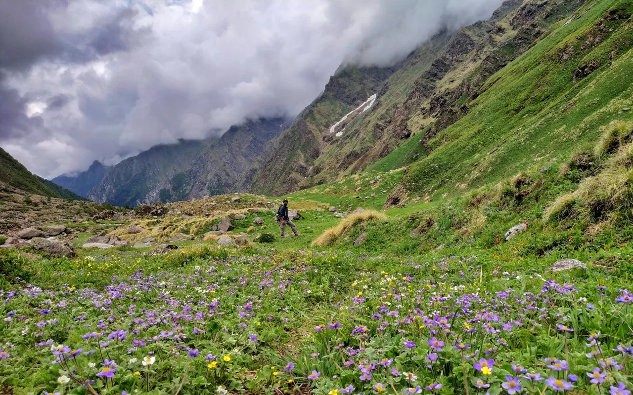
Short, steep push up to the 4 km-wide Dev Kyara meadow at the foot of Ranglana Peak — the trip's high point.
Crossing the high-altitude pass bridges two distinct watershed systems, shifting the expedition over the glaciated divide and down into a new river basin.
Camp Alt
11,482 ft
Day Gain
-1,969 ft
Explore Dev Kyara & Return to Bhawa
Explore the meadow in the morning — sightlines to Swargarohini, Black Peak (Kala Nag), and Bandarpoonch. Descend to Bhawa for the night.
The high alpine meadows narrow into forested river terraces as tree line vegetation reappears in the lower mountain river corridor.
Camp Alt
7,300 ft
Day Gain
-4,182 ft
Reach Jakhol
The longest trail day. Long descent through the forest back to Jakhol.
The alpine pastures drop back into the forested Supin river gorge leading to Jakhol.
Camp Alt
2,100 ft
Day Gain
-5,200 ft
Drive to Dehradun
Drive back to Dehradun.
The return journey descends from the Tons river valley back to Dehradun.
Trek Extensions & Add-ons
Dayara-Dev Kyara Ridge Link
+3 DaysExpert ridge traverse to Dayara Bugyal via unnamed shepherd routes.
Plan Your Trek:
Ready to book? Compare verified operators for Dev Kyara Trek — transparent pricing, no paid rankings.
Still deciding?
Compare routes side-by-side to find the perfect match for your fitness, dates, and budget.
Day by day, camp by camp. Send this to your group so everyone's on the same page.
Step 4: Cost & Logistics
You understand the route.
Now see what services, permits, and logistics actually cost.
View Cost Breakdown