
Explore
Intelligence
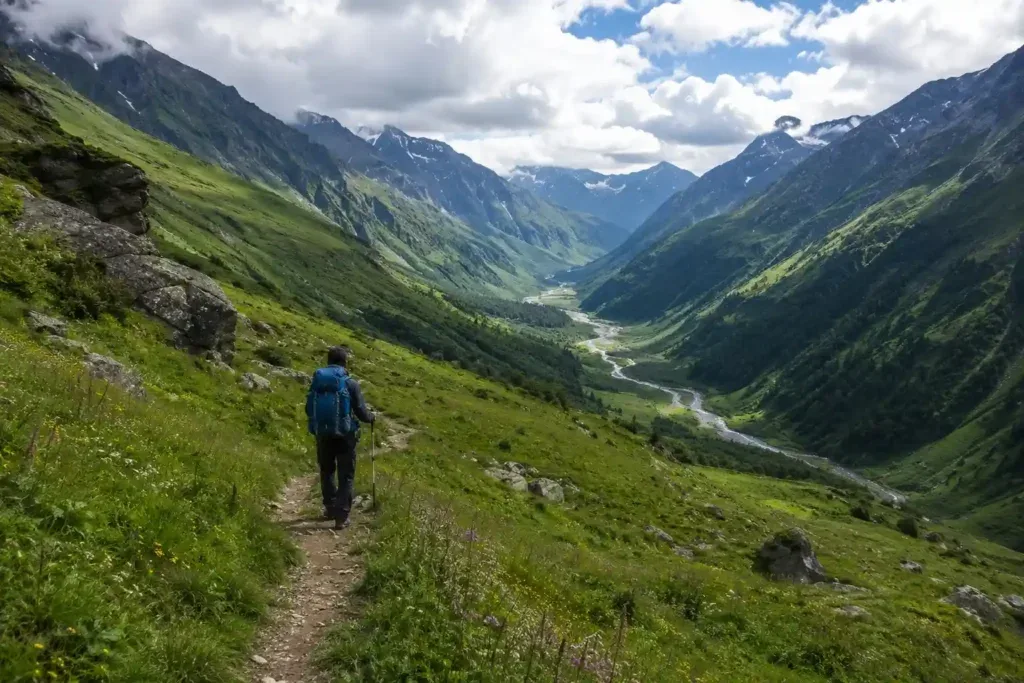
Season & Weather Guide
Best Time for Chenap Bugyal Trek — Month-by-Month Guide
September is the undisputed champion for this trek, offering the perfect combination of lush floral blooms and clear, rain-free skies.
Seasonal Verdict
When should you go?
The trek has two distinct prime windows: May-June for clear mountain views and early greenery, and late August-September for the peak alpine floral bloom.
Season at a Glance
Editor's Notes
Month by Month
What each month looks like
January
Conditions
Closed. Heavy snow makes the trail to Thaing and beyond inaccessible.
Crowds
none
Deep snow accumulation, extreme cold, or closed trail conditions
Route closed due to heavy winter snow.
February
Conditions
Closed. Deep winter snowpack throughout the valley.
Crowds
none
Deep snow accumulation, extreme cold, or closed trail conditions
Route closed.
March
Conditions
Closed. Snow begins to melt, but trails are muddy and unsafe.
Crowds
none
Deep snow accumulation, extreme cold, or closed trail conditions
Route closed. Avalanche risks on higher slopes.
April
Peak SeasonConditions
Spring transition. Lower forests clear up, but upper meadows may still hold significant snow.
Crowds
medium
Forests clear up, but meadows are still snowbound. Not recommended.
May
Peak SeasonConditions
Excellent. Crisp air, clear skies, and stunning views of Nanda Devi. Flora begins to sprout.
Crowds
medium
Excellent clear weather. Early greenery appears. Highly recommended for peak viewing.
June
Peak SeasonConditions
Prime trekking window. Warm days, pleasant nights, and lush green meadows.
Crowds
medium
Warm and pleasant. Lush green valleys. Pre-monsoon clouds build in late afternoons.
July
Conditions
Monsoon hits. The floral bloom starts, but trails become very slippery and leech-infested. High rain risk.
Crowds
low
Monsoon rains and trail surface degradation
Monsoon hits. Trail becomes extremely slippery and leeches appear. Wildflowers begin to bloom.
August
Conditions
Peak floral bloom, similar to the Valley of Flowers. However, heavy rains can cause roadblocks near Joshimath.
Crowds
none
Monsoon precipitation and landslide / slippery trail hazards
Peak monsoon and peak blooms. Heavy rains make logistics difficult. Landslides possible on highways.
September
Peak SeasonConditions
The absolute best time. The monsoon recedes leaving incredibly lush valleys, blooming flowers, and crystal-clear skies.
Crowds
medium
The best time to visit. Monsoon clears, leaving a valley full of flowers and razor-sharp mountain views.
October
Peak SeasonConditions
Autumn sets in. Flowers die out, the grass turns golden, and views of the Greater Himalayas are razor-sharp. Cold nights.
Crowds
medium
Flowers die, but visibility is phenomenal. Very crisp and cold air.
November
Peak SeasonConditions
Pre-winter. Very cold. The meadows lose their color, and frost covers the ground.
Crowds
medium
Pre-winter cold. Dry landscapes. Mostly for those seeking isolation.
December
Peak SeasonConditions
Winter begins. High chance of early snow. Trek usually closes.
Crowds
medium
Winter closes the trek.
Plan Your Trek:
Still deciding?
Compare routes side-by-side to find the perfect match for your fitness, dates, and budget.
Timing makes or breaks a trek. Send this to your group before you decide.
Step 3: Route Intelligence
You've chosen a season.
Now see exactly how the route unfolds day by day, including terrain types and daily altitude profiles.
Explore the Itinerary