
Explore
Intelligence
Difficulty & Readiness Guide
Is Bhavishya Badri Trek Difficult? — Fitness & Altitude Guide
An easy-to-moderate day hike. It is short but features a steep, 2,500-foot climb that will test your leg muscles and lungs.
The Question
Can I do this trek?
Preparation Required
Entry Level
Prior Experience
None required. Suitable for first-time trekkers.
Expert Verdict
Highly technical trek requiring physical and mental preparation.
Route Knowledge
Why is it difficult?
Exertion Index
Primary Challenge
Route Identity
Fast-paced or high-mileage route demanding excellent cardiovascular fitness.
Primary Drivers
- Peak daily distance of 12 km
View Full Route Analysis
Physiological Demand
Comfortable pacing with moderate daily distances.
Rolling or gradual terrain with minimal harsh impact on joints.
Comfortable pacing with good recovery options.
Terrain Breakdown
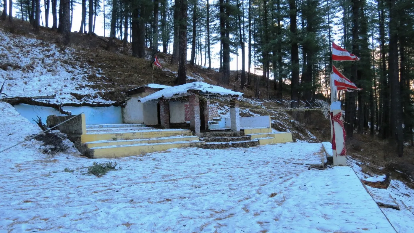
The trail is a mix of stone-paved steps near the villages and raw dirt tracks through the cedar forests. It is well-trodden but features sections with 60 to 70-degree inclines.
Summit Day Notes
The 6km hike requires climbing over 2,500 feet. This steep gradient over a short distance will quickly elevate your heart rate. Pacing is crucial.
The Descent
The descent is fast (approx 2 hours) but the steepness can cause toe-jamming and knee pain. Using a trekking pole and tightening boot laces is highly recommended.
Altitude Profile
Altitude sickness is not a concern here as the peak is 9,003 ft, and the trek is completed within a few hours.
Run AMS Risk Audit →Trail Performance Data
Max Gradient
60%
Hydration
0.5L per km recommended
Loose Surface Sections
- •The descent from the temple back to Subhain (slippery pine needles)
Personal Readiness
Am I ready?
What this route demands
People who feel comfortable on this route can usually:
Who Can Do This Trek?
Min Age
10+
Max Age
65
Western Toilets at Base
Yes
Solo Female Travelers
The Joshimath area is very safe. However, walking the forest trail alone is not recommended due to wildlife and navigation. Hire a guide.
Hazard Profile
What goes wrong?
Common Mistakes on Bhavishya Badri Trek
Most injuries and failures on this trail can be avoided by making smarter decisions early on.
Carrying too much unnecessary weight in the daypack.
Starting the trek too late in the day, forcing a rushed, unsafe descent in fading light.
Not carrying water, assuming it will be available at the temple.
Safety & Medical Risks
Key Risks
Dehydration and heat exhaustion on the steep ascent during summer
Slipping on dry pine needles during the descent
Getting disoriented in the dense cedar forest without a guide
AMS (Altitude Sickness)
Altitude sickness is generally not a factor at 9,003 ft, especially when returning to a lower altitude to sleep.
Evacuation Route
Human carry down to Saldhar, followed by a 45-minute jeep drive to the Joshimath hospital.
Solo Trekking
Possible, but not recommended. The trail beyond Subhain is isolated and unmarked. A local guide ensures you stay on the correct path.
Common Trail Ailments
🏥 Nearest ICU: Srinagar (Garhwal) or Dehradun
Tactical Emergency Hub
> Since it is a steep forest trail, a stretcher evac is difficult. The patient usually needs to be supported/carried piggyback down to Saldhar.
Auditability
How is this calculated?
Understand This Route Further
Before attempting this route:
Still deciding?
Compare routes side-by-side to find the perfect match for your fitness, dates, and budget.
Still think it's doable? Share this with your trek mate and see if they agree.
Step 2: Seasonal Safety
You know how demanding this route is.
Now find the safest and most reliable season to attempt it.
Check Best Time to Go