
Explore
Intelligence
Season & Weather Guide
Best Time for Bagini Glacier Trek — Month-by-Month Guide
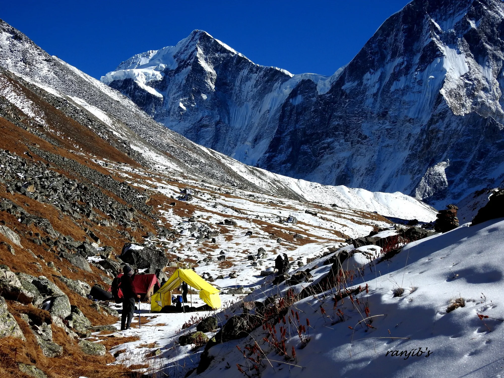
May-June and September-October for stable weather and clear views of Dunagiri and Changabang.
Seasonal Verdict
When should you go?
Bagini Glacier is a high-altitude summer trek. While the glacier basin itself is in the rain-shadow, the approach drive through the Dhauliganga valley is highly susceptible to monsoon landslides. Pre-monsoon (May-June) and post-monsoon (Sept-Oct) offer the best accessibility and visibility.
Season at a Glance
Editor's Notes
Early May to mid-June offers clear skies and blooming flora, with some snow near the glacier.
Late September to mid-October provides crisp air and the sharpest mountain views.
Avoid the monsoon months (July-August) due to unpredictable weather and slippery trails.
Month by Month
What each month looks like
January
Conditions
Dronagiri village is abandoned. Deep winter freeze.
Crowds
none
Inaccessible due to deep snow and abandoned villages.
Closed. Extreme winter conditions.
February
Conditions
Dronagiri village is abandoned. Deep winter freeze.
Crowds
none
Inaccessible due to deep snow and abandoned villages.
Closed. Extreme winter conditions.
March
Conditions
Trail and approach roads are still snowbound. BRO clearing begins.
Crowds
none
High avalanche danger and uncleared roads.
Early season. Deep snow accumulations.
April
Conditions
Deep snow remains on the Dronagiri ridge. Suitable only for highly experienced alpine teams.
Crowds
low
Deep unstable snow and high avalanche risk on the approach ridge.
Early season. Deep snow accumulations.
May
RecommendedConditions
The primary opening window. Snow is stable enough for safe glacier walking and the skies are highly visible.
Crowds
low
Prime pre-monsoon window. Good snow stability.
June
RecommendedConditions
Summer peak. The Dhauliganga valley approach is green, and the glacier snout is highly accessible. Maximum success rate.
Crowds
low
Prime pre-monsoon window. Good snow stability.
July
Conditions
The glacier itself sees less rain, but the approach drive to Jumma becomes exceptionally dangerous due to landslides.
Crowds
low
Severe landslide risk on the Joshimath-Jumma highway.
Monsoon danger. Landslides and severe rains.
August
Conditions
Peak monsoon on the approach. Boulders on the trail become extremely slippery and dangerous.
Crowds
low
Severe landslide risk on the approach highway and dangerous, slippery moraine.
Monsoon danger. Landslides and severe rains.
September
RecommendedConditions
The gold standard for photography. The monsoon washes the dust away, leaving 100% air clarity. The granite walls of Changabang look razor sharp.
Crowds
low
Crystal clear skies. Best visibility of the year.
October
RecommendedConditions
Autumn quiet. The meadows around Dronagiri turn golden brown. Very cold nights but pristine daytime views.
Crowds
low
Crystal clear skies. Best visibility of the year.
November
Conditions
Winter starts setting in fast. Sub-zero temperatures drop dangerously low and Dronagiri village begins its winter migration.
Crowds
none
Extreme wind chill and village closure.
Winter setting in. Sub-zero temperatures rapid.
December
Conditions
The route is fully closed and abandoned for the winter.
Crowds
none
Inaccessible due to deep snow and abandoned villages.
Closed. Extreme winter conditions.
Plan Your Trek:
Still deciding?
Compare routes side-by-side to find the perfect match for your fitness, dates, and budget.
Timing makes or breaks a trek. Send this to your group before you decide.
Step 3: Route Intelligence
You've chosen a season.
Now see exactly how the route unfolds day by day, including terrain types and daily altitude profiles.
Explore the Itinerary