
Explore
Intelligence
Detailed Route
Animal Pass Trek Itinerary — Day by Day Route & Camps
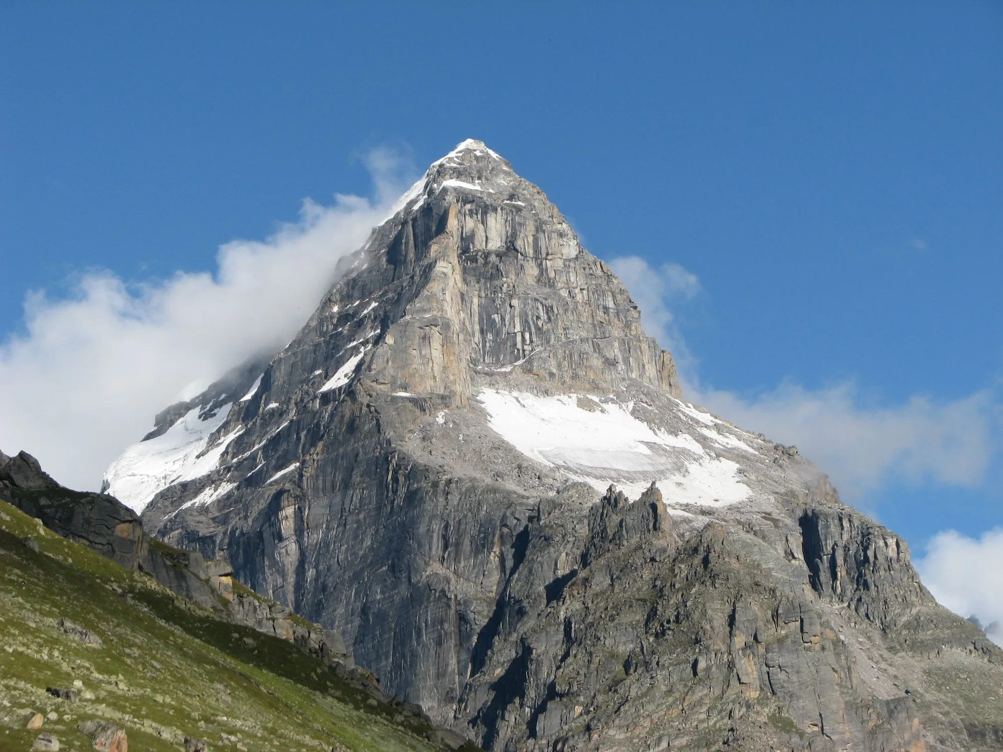
A 6-day hardcore expedition leaving the cafes of Kasol and Tosh to enter the raw, icy domain of the Tosh Glacier and the towering Papsura peak.
Standard RouteThis is the standard mountain pacing for this trek. Specific operators may add an acclimatization day or alter the starting point. Check individual operator schedules for their exact logistics.
Duration
6 Days
Total Distance
40.0 KM
Max Altitude
15,000 FT
Trek Type
circuit
Permits Required Before You Go
Permit Cost
Where to Get
Kasol/Bhuntar Forest Office
Documents
Original Aadhar/Passport, Medical Fitness Certificate
Foreign Nationals
Foreigners require standard forest clearance. Parvati Valley has police checkpoints; always carry original passports and valid visas.
Foreigner Process
Parvati valley is highly frequented by foreigners. Standard passport registration at Kasol checkposts is required.
Nearest Embassy Hub
New Delhi
Day by Day Breakdown
Camp Alt
9,900 ft
Day Gain
+4,720 ft
Drive to Tosh & Trek to Buddhaban
Drive from Kasol to the bustling village of Tosh. From Tosh, leave the crowds behind and trek along the right bank of the Tosh River through pine forests to the beautiful meadow of Buddhaban.
Key Landmarks
Staying At
The route moves through forested zones. The environment transitions into open alpine meadows. The route follows the river valley.
Camp Alt
11,500 ft
Day Gain
+1,600 ft
Reach Sharam Thach
The trail steadily climbs, leaving the dense tree line behind and entering the vast, open high-altitude pastures (Thach). The terrain becomes rockier.
Key Landmarks
Staying At
Tree line disappears as the valley broadens into a spectacular high-altitude alpine meadow basin, replacing the dense forests with expansive grazing pastures.
Camp Alt
12,460 ft
Day Gain
+960 ft
Reach Shamshi Thach
A relatively shorter day designed for crucial acclimatization. The camp at Shamshi Thach sits in a dramatic amphitheater of peaks, right at the edge of the glacial moraines.
Key Landmarks
Staying At
Tree line disappears as the valley broadens into a spectacular high-altitude alpine meadow basin, replacing the dense forests with expansive grazing pastures.
Field Notes
KEY ACTIONHelmet Mandatory
Helmet mandatory. Move quickly and quietly through the rockfall zone without stopping to rest.
Use Trekking Poles
Trekking poles are highly recommended to save your knees on the descent.
INFOSlower Progress
Progress will be significantly slower and more taxing on your ankles than trail distance suggests.
Camp Alt
12,460 ft
Day Gain
0 ft
Today's Objective
🏔 Cross Shamshi Thach To Animal Pass
The hardest and most rewarding day. An exhausting climb through steep boulder fields and glacial debris to reach Animal Pass at 15,000 ft. Views of the Kullu Makalu and Papsura peaks are immense. Return to base camp.
Key Landmarks
Staying At
Crossing the high-altitude pass bridges two distinct watershed systems, shifting the expedition over the glaciated divide and down into a new river basin.
Field Notes
Stow Poles
Requires hands-on rock scrambling. Stow trekking poles to free up your hands.
INFOSlower Progress
Progress will be significantly slower and more taxing on your ankles than trail distance suggests.
Camp Alt
9,900 ft
Day Gain
-2,560 ft
Return to Buddhaban
A long descent day retracing the route back through Sharam Thach and into the comforting oxygen-rich forests of Buddhaban.
Key Landmarks
Staying At
The high alpine meadows narrow into forested river terraces as tree line vegetation reappears in the lower mountain river corridor.
Camp Alt
5,180 ft
Day Gain
-4,720 ft
Trek to Tosh & Drive to Kasol
A short, easy morning trek back to civilization in Tosh, followed by a taxi ride back down the Parvati valley to Kasol.
Key Landmarks
The trail follows the mountain river corridor through a narrow, forested gorge, moving past traditional settlements into increasingly dense dense forested valleys.
Trek Extensions & Add-ons
Kheerganga Trek
+2 DaysAfter returning to Barshaini, you can hike up the opposite side of the valley to soak your tired muscles in the natural hot springs of Kheerganga.
Plan Your Trek:
Ready to book? Compare verified operators for Animal Pass Trek — transparent pricing, no paid rankings.
Still deciding?
Compare routes side-by-side to find the perfect match for your fitness, dates, and budget.
Day by day, camp by camp. Send this to your group so everyone's on the same page.
Step 4: Cost & Logistics
You understand the route.
Now see what services, permits, and logistics actually cost.
View Cost Breakdown