Detailed Route
Sin La Pass Expedition Itinerary — Day by Day Route & Camps
10-day epic traverse from Darma to Byans via the formidable Sin La pass.
Standard RouteThis is the standard mountain pacing for this trek. Specific operators may add an acclimatization day or alter the starting point. Check individual operator schedules for their exact logistics.
Duration
10 Days
Total Distance
61 KM
Max Altitude
18,028 FT
Trek Type
linear
Permits Required Before You Go
Permit Cost
Day by Day Breakdown
Drive: Kathgodam to Dharchula
Long 11-hour drive to the border town.
Key Landmarks
Staying At
Drive & Trek: Dharchula to Urthing / Baaling
Processing ILP permits. Treacherous 4x4 drive to the roadhead.
Key Landmarks
Staying At
Trek: Baaling to Duktu
Acclimatization walk with views of Panchachuli massive.
Key Landmarks
Staying At
Trek: Duktu to Bidang
Landscape turns barren. Bidang is a windy ITBP stronghold.
Key Landmarks
Staying At
Acclimatization: Rest Day at Bidang
Mandatory rest for 18,000ft push. Short hike to Dawe.
Staying At
Trek: Bidang to Sin La Base Camp
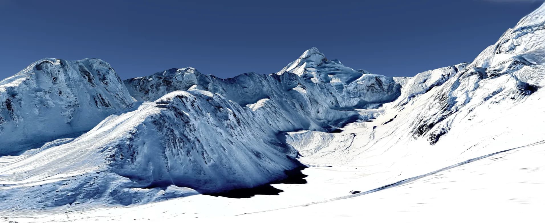
Positioning beneath the pass. Pure rock and ice terrain.
Key Landmarks
Staying At
Pass Crossing: Base Camp to Jolingkong via Sin La
Crux day. 2 AM start. Steep glaciated ascent to 18,028ft.
Key Landmarks
Staying At
Trek: Jolingkong to Gunji
Descending the Byans valley. Merging with Kailash Mansarovar route.
Key Landmarks
Staying At
Drive: Gunji to Dharchula
Dangerous descent via Lipulekh border road.
Key Landmarks
Staying At
Drive: Dharchula to Kathgodam
Final drive back to railhead.
Staying At
Also on this trek
Ready to book? Compare verified operators for Sin La Pass Expedition — transparent pricing, no paid rankings.
Still deciding?
Compare routes side-by-side to find the perfect match for your fitness, dates, and budget.
Day by day, camp by camp. Send this to your group so everyone's on the same page.
Love this itinerary?
Find operators who follow this exact route with verified acclimatization days.
Find matching operators