
Explore
Intelligence
Difficulty & Readiness Guide
Is Shilla Peak Expedition Difficult? — Fitness & Altitude Guide
The Question
Can I do this trip?
Preparation Required
Elite
Prior Experience
Mandatory: Prior high-altitude trekking (16,000ft+) and basic technical knowledge.
Expert Verdict
Highly technical peak requiring physical and mental preparation.
Expedition Grading Context
At 79/100, this expedition is a world-class physical challenge. Beyond the extreme endurance required, you are entering high-altitude technical terrain where standard trekking rules no longer apply.
Shilla Peak Expedition
Himalayan Placement · Index 79Route Knowledge
Why is it difficult?
Exertion Index
Primary Challenge
Route Identity
Cardio-intensive route compounded by significant altitude exposure across a trek featuring loose moraine.
Primary Drivers
- Maximum sleeping altitude of 20,120 ft
- Grueling summit push with 5,620 ft of elevation gain
- 4 consecutive high-output trekking days
- Peak daily distance of 18 km
View Full Route Analysis
Physiological Demand
Expect long, exhausting days of sustained climbing at high intensity. Your cardiovascular system will be pushed to its absolute limit.
Steep, punishing ascents and descents that will heavily tax your knees, ankles, and overall joint stability.
Extreme high altitude exposure. Severe oxygen depletion requires careful acclimatization and peak cardiovascular health.
Rough, uneven trails with occasional scrambling or minor exposure.
Comfortable pacing with good recovery options.
Terrain Breakdown
Trans-Himalayan Spiti region. High-altitude deserts, deep steep-walled gorges, sedimentary rock faces, and challenging glacial features.
Summit Day Notes
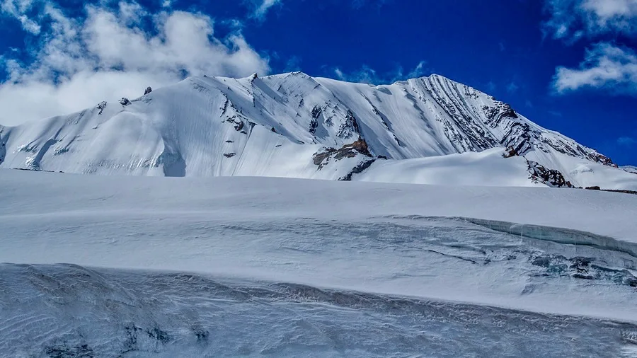
Demanding ascent on steep slopes, snow/ice sections, and rocky, unstable terrain. Involves traversing high, exposed cols like Shilla Jot (~5,640m).
Altitude Profile
A serious high-altitude undertaking reaching a true elevation of 6,132 meters (20,118 ft).
Run AMS Risk Audit →Trail Performance Data
Personal Readiness
Am I ready?
What this route demands
People who feel comfortable on this expedition can usually:
Who Can Do This Trip?
Hazard Profile
What goes wrong?
Safety & Medical Risks
Key Risks
Severe Acute Mountain Sickness (AMS)
Hidden crevasses on technical glaciers
Unpredictable extreme high-altitude weather and sub-zero temperatures
AMS (Altitude Sickness)
High risk of AMS, HAPE, and HACE at 6,111m. Gradual ascent and strict acclimatization in Tabo/Kaza are critical.
Evacuation Route
Road evac to Kaza.
Solo Trekking
Solo climbing is strongly discouraged. The region is remote and technical; relying on self-rescue is extremely dangerous.
Tactical Emergency Hub
> Helipad in Kaza.
Auditability
How is this calculated?
Understand This Route Further
Before attempting this route:
Still deciding?
Compare routes side-by-side to find the perfect match for your fitness, dates, and budget.
Still think it's doable? Share this with your trek mate and see if they agree.
Step 2: Seasonal Safety
You know how demanding this route is.
Now find the safest and most reliable season to attempt it.
Check Best Time to Go