Detailed Route
Milam Glacier – Ralam Traverse Expedition Itinerary — Day by Day Route & Camps
12-day epic loop from Munsiyari exploring the Johar and Ralam valleys.
Standard RouteThis is the standard mountain pacing for this trek. Specific operators may add an acclimatization day or alter the starting point. Check individual operator schedules for their exact logistics.
Duration
12 Days
Total Distance
122 KM
Max Altitude
15,305 FT
Trek Type
circuit
Day by Day Breakdown
Drive: Kathgodam to Munsiyari
Long 11-hour drive. View of Panchachuli peaks at sunset.
Key Landmarks
Staying At
Trek: Munsiyari to Lilam
Descent into the Gori Ganga gorge. Warm and humid.
Key Landmarks
Staying At
Trek: Lilam to Bugdiyar
Steep climb through a narrow rock gorge. Vertical trail sections.
Key Landmarks
Staying At
Trek: Bugdiyar to Rilkot
Entry into the high-altitude alpine desert zone. Windy campsite.
Key Landmarks
Staying At
Trek: Rilkot to Milam Village
Passing the ghost village of Martoli. Open alpine flats.
Key Landmarks
Staying At
Exploration: Milam Glacier Snout and Nanda Devi East Base
Reaching the 'Zero Point' of the massive glacier. View of Hardeol peak.
Key Landmarks
Staying At
Trek: Milam to Tola Village
Starting the traverse leg. Tola is a tiny, remote Shauka settlement.
Key Landmarks
Staying At
Trek: Tola to Brij Ganga Dhura Base
Steep ascent into the high ridge country. Cold high camp.
Key Landmarks
Staying At
Pass Crossing: Base to Ralam Village via Brij Ganga Dhura
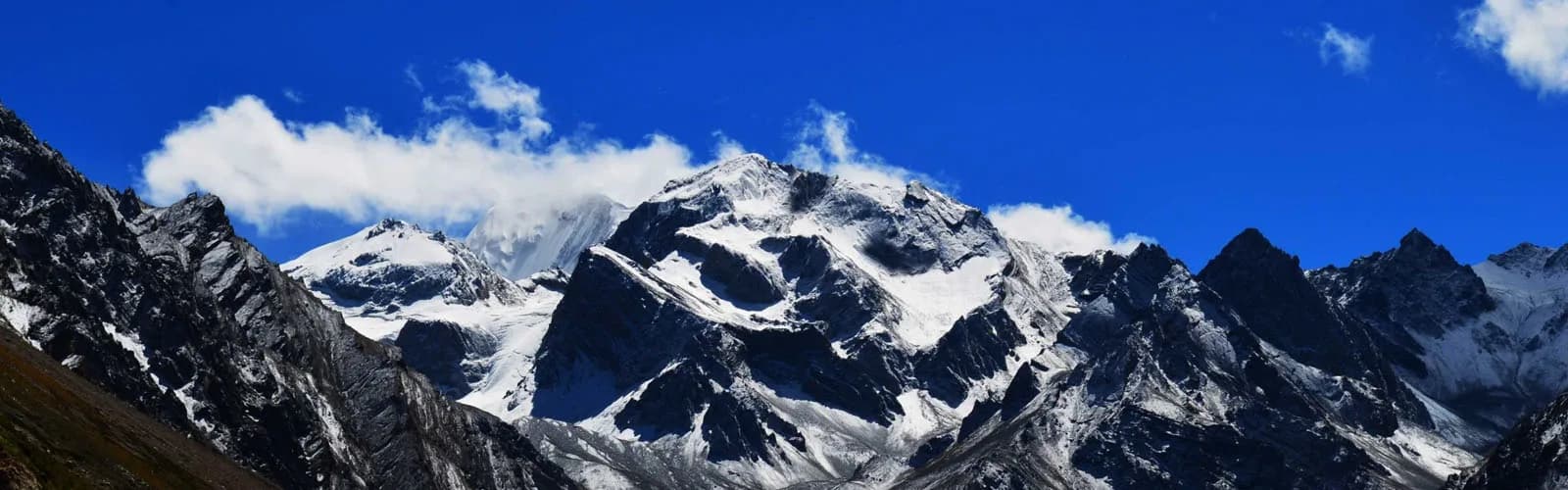
Crux day. Crossing the 15,300ft pass. Incredible panorama of Johar peaks.
Key Landmarks
Staying At
Trek: Ralam to Lilam
Long descent through the Ralam valley. Meeting the Gori Ganga again.
Key Landmarks
Staying At
Trek: Lilam to Munsiyari
Final climb back to the hub. Hot shower day.
Key Landmarks
Staying At
Drive: Munsiyari to Kathgodam
End of 115km expedition.
Staying At
Also on this trek
Ready to book? Compare verified operators for Milam Glacier – Ralam Traverse Expedition — transparent pricing, no paid rankings.
Still deciding?
Compare routes side-by-side to find the perfect match for your fitness, dates, and budget.
Day by day, camp by camp. Send this to your group so everyone's on the same page.
Love this itinerary?
Find operators who follow this exact route with verified acclimatization days.
Find matching operators